Surveying accurately

Spectra Precision says that its EPOCH 35 system benefits from the latest GPS and GLONASS technology to provide accurate cadastral, topographic, control and stakeout survey applications. Said to be reliable and cost-effective, the EPOCH 35 GNSS system includes a base, rover, field software, data collector, and radio. The rover features integrated Bluetooth capability, an internal radio modem and battery. For North America, the system operates with the proven TDS Survey Pro field software while for other mark
July 18, 2012 Read time: 1 min
Riegl's sophisticated V-Line range includes interfaces for GPS, networking and mobile operation together with high precision time stamping
2373 Spectra Precision says that its EPOCH 35 system benefits from the latest GPS and GLONASS technology to provide accurate cadastral, topographic, control and stakeout survey applications. Said to be reliable and cost-effective, the EPOCH 35 GNSS system includes a base, rover, field software, data collector, and radio. The rover features integrated Bluetooth capability, an internal radio modem and battery. For North America, the system operates with the proven TDS Survey Pro field software while for other markets, the system runs the Spectra Precision Field Surveyor package. For RTK surveying, the base system can include a choice of radio modems with either a long or short range data link from the base to the rover. In addition, Network RTK is also supported by simply connecting to an external data-capable cellular modem. Back at the office, surveyors can use the Spectra Precision Office Software for post-processing and quality control.

For more information on companies in this article

Related Content

  • Major innovations are coming to market in concrete slipforming
    March 6, 2017
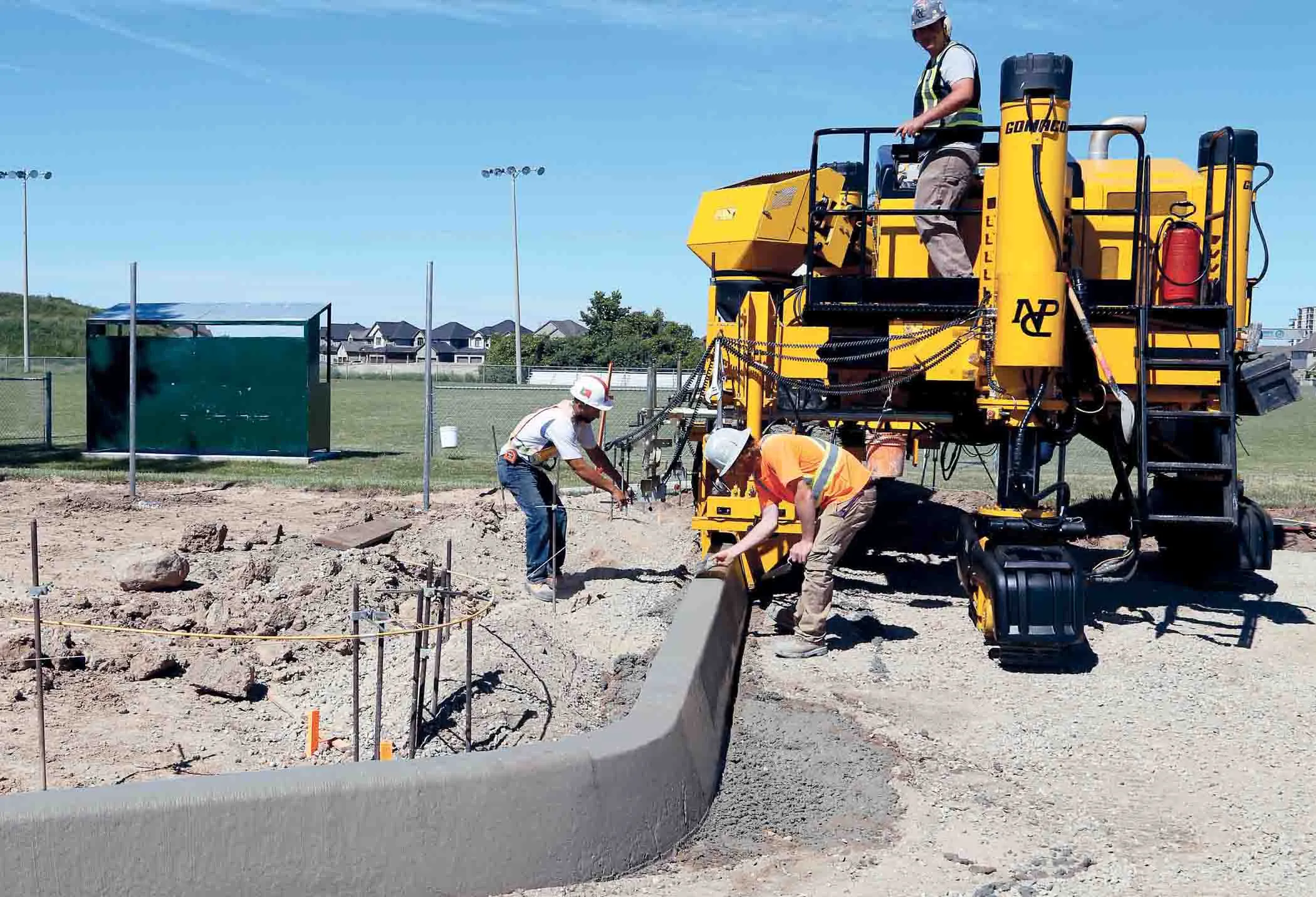
    Tough competition is being seen in the specialised market for concrete slipforming machines, with new partnerships and new technology coming to market - Mike Woof writes GOMACO is boosting the versatility of its Commander slipformer further with the development of the new Three-Track Commander IIIx variant. This has been configured to cope with much tighter radii than previous versions of the Commander III, allowing it to slipform a radius of just 610mm. This suits the machine to applications such as sli
  • An array of innovative software and GIS solutions will boost construction efficiency
    July 18, 2012
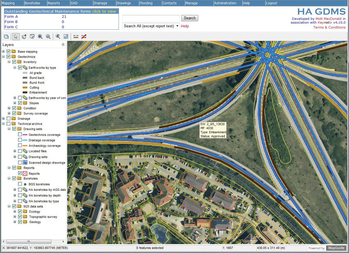
    New software and GIS innovations will help boost construction efficiency - Mike Woof reports Major software suppliers continue to develop their technology and offer new products to the market. Major developments from leading firms will help improve operations for contractors in many segments of the construction industry, from initial design and planning through to maintenance. Version 8 of the well-known ARCADY program for assessment of roundabout capacity is just released by UK transport research and soft
  • Florida and one.network in lane closure pilot
    August 30, 2022
    The project will use Live Link, one.network's proprietary shared road management platform that connects with major GPS providers in the US.
  • Optimising paving processes with Topcon
    November 21, 2019
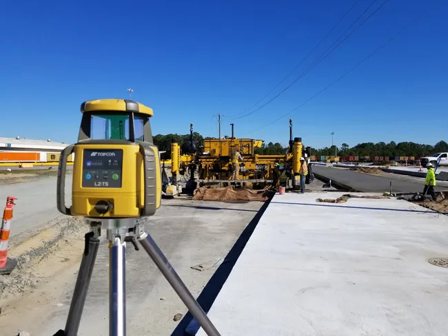
    The use of sophisticated machine control technology is integral to delivering high quality and productivity for concrete paving operations