New software and GIS innovations will help boost construction efficiency - Mike Woof reports Major software suppliers continue to develop their technology and offer new products to the market. Major developments from leading firms will help improve operations for contractors in many segments of the construction industry, from initial design and planning through to maintenance.
Version 8 of the well-known ARCADY program for assessment of roundabout capacity is just released by UK transport research and soft
New software and GIS innovations will help boost construction efficiency - Mike Woof reports
Major software suppliers continue to develop their technology and offer new products to the market. Major developments from leading firms will help improve operations for contractors in many segments of the construction industry, from initial design and planning through to maintenance.Version 8 of the well-known ARCADY program for assessment of roundabout capacity is just released by UK transport research and software company,
The ARCADY program, based on years of accumulated empirical data, is widely used worldwide as well as in the UK on all traffic impact assessments concerning the design or redesign of roundabouts. The new PICADY capacities are added in a new Priority Intersection Module which is a completely re-written and streamlined version of PICADY in itself. It means PICADY users can now model alternative layouts to an intersection with multiple time periods simultaneously, previously a capacity only of ARCADY.
ARCADY itself new adds individual entry lane simulation on roundabouts, a roundabout bypass lane facility and basic and advanced modes, with setup wizards to help users get up to speed as quickly as is possible.
Entry Lane Analysis model is an animated graphical tool that will make ARCADY more useful for the roundabout design process since it allows engineers to analyse the queues that are likely to happen in each individual entry lane for to help achieve efficient lane configuration.
ARCADY's use in design work has been increased since version 7.1 by a linking capacity to
The Savoy link-up was further extended last year with both programs tied to
Meanwhile a recent report from McGraw-Hill Construction highlighted the potential of information modeling for roadway and bridge infrastructure. According to the report, the percentage of firms expected to reach information modeling usage for the majority of their work on these projects will rise to 56% in 2013, compared with 20% in 2009 and 35% in 2011.
Project-related benefits of model-based design and construction accrue directly to owners and are compelling, according to the report. Meanwhile Bentley claims that its OpenRoads common functionality is just as compelling because it enables users to maximise on work sharing.
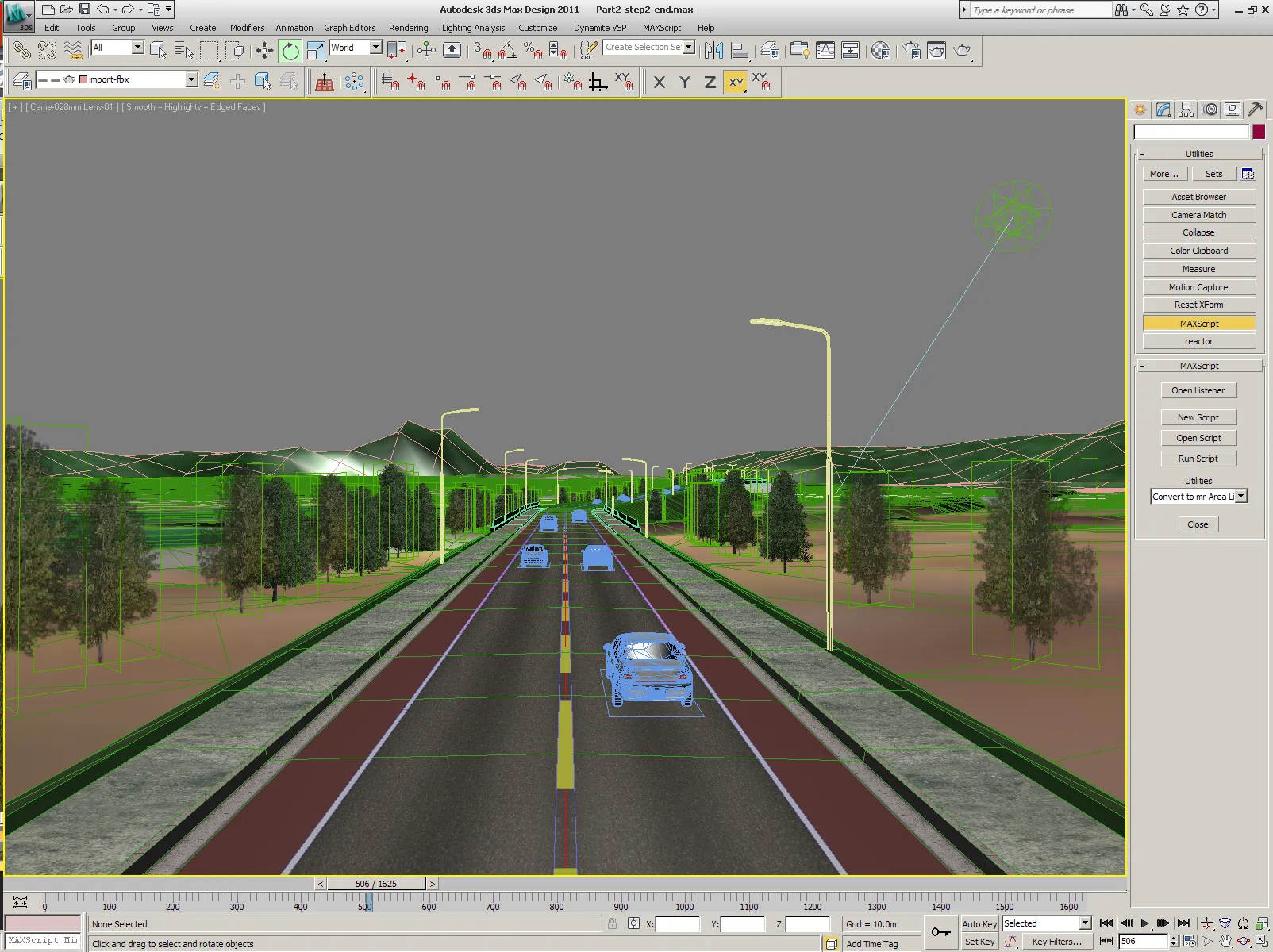
The OpenRoads tool allows engineers and designers to view designs interactively as rendered on-demand models in the design software environment. This means users and clients can make better design, construction, operations, and maintenance decisions. Immersive modelling works by documenting design decisions and changes, and then reacting to and anticipating such changes as they relate to design intent. This puts the engineer or designer in control of the design process and no changes or relationships are hidden. Hypermodels present information within 3D, serving as a spatial index for immersive interaction with content, including 2D drawings, raster images, photos and videos, point clouds, scalable terrain models, hyperlinks, survey data, and design data. The OpenRoads hypermodelling capability allows civil design information to be used throughout construction and operation for design-build and PPP projects.
This information mobility shares architectural, engineering, construction, operations and geospatial information across the infrastructure lifecycle and project disciplines. Users and work processes can exchange information in the appropriate format with precision. OpenRoads provides this functionality through its support of i-models, allowing teams to analyse projects virtually to detect and resolve clashes and simulate project schedules. Users can register comments in i-models and can produce 2D and 3D PDFs for wider use. With 3D modelling, design-time visualisation, and information mobility, engineers and constructors can ensure that design models become complete, and that quantities are always accurate. OpenRoads functionality also supports machine-guided construction and virtual inspection.
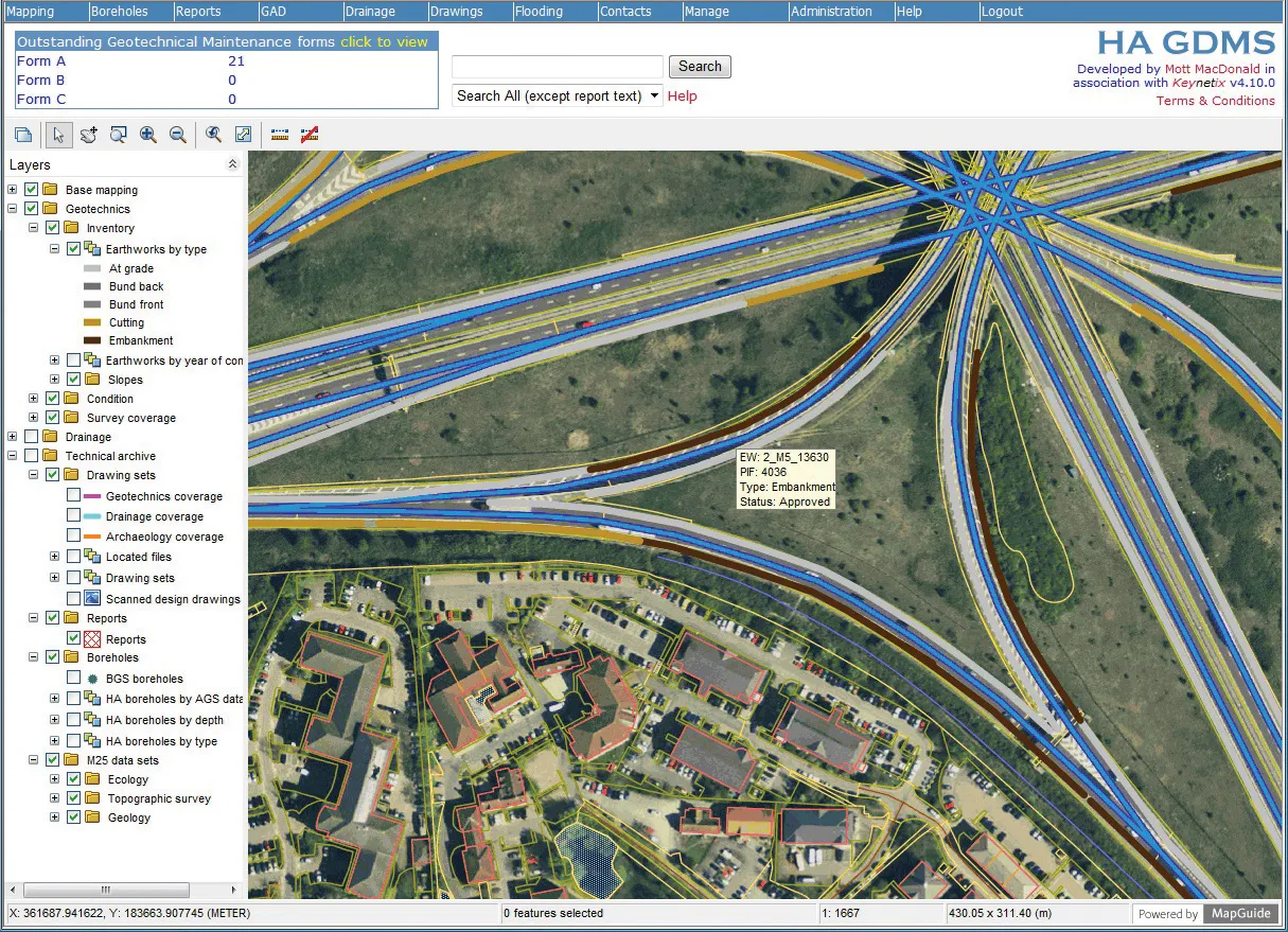
Bentley Systems is further boosting its capabilities having acquired InspectTech Systems, a Pennsylvania-based provider of field inspection applications and asset management services for bridges and other transportation assets. The InspectTech software-as-a-service (SaaS) solution is designed to help asset owners streamline the process of planning inspections, collecting and managing inspection data, and complying with reporting requirements. This package is said to deliver automated compliance reporting, reduce inspection costs, optimise the decision process and improve transportation efficiency and safety. Bentley intends to capitalise on the information mobility of the package to boost asset management through integrating information modelling with inspections.
Bentley Systems CEO Greg Bentley said, “By incorporating InspectTech services within our AssetWise platform, we will be able to serve bridge and other transportation owners with Bentley’s bridge information modeling (BrIM) benefits including Exor linear referencing and incident management, and SUPERLOAD permitting. In addition, through InspectTech’s ongoing role in developing for AASHTO its PONTIS BRIDGEWare software, we look forward to working more directly with the departments of transportation to meet their bridge planning priorities.”
In InspectTech’s SaaS solution, the server software is used to manage inspection workflows, schedule inspections, and to receive and store completed inspection data. The mobile application is installed on a laptop or tablet device and is used by the inspector to gather and record inspection information in the field. The server software is used to analyse and report on the accumulated inspection information, which can include text, models, drawings, images, video, audio, PDFs, and other data types.