Surveying accurately

Spectra Precision says that its EPOCH 35 system benefits from the latest GPS and GLONASS technology to provide accurate cadastral, topographic, control and stakeout survey applications. Said to be reliable and cost-effective, the EPOCH 35 GNSS system includes a base, rover, field software, data collector, and radio. The rover features integrated Bluetooth capability, an internal radio modem and battery. For North America, the system operates with the proven TDS Survey Pro field software while for other mark
July 18, 2012 Read time: 1 min
Riegl's sophisticated V-Line range includes interfaces for GPS, networking and mobile operation together with high precision time stamping
2373 Spectra Precision says that its EPOCH 35 system benefits from the latest GPS and GLONASS technology to provide accurate cadastral, topographic, control and stakeout survey applications. Said to be reliable and cost-effective, the EPOCH 35 GNSS system includes a base, rover, field software, data collector, and radio. The rover features integrated Bluetooth capability, an internal radio modem and battery. For North America, the system operates with the proven TDS Survey Pro field software while for other markets, the system runs the Spectra Precision Field Surveyor package. For RTK surveying, the base system can include a choice of radio modems with either a long or short range data link from the base to the rover. In addition, Network RTK is also supported by simply connecting to an external data-capable cellular modem. Back at the office, surveyors can use the Spectra Precision Office Software for post-processing and quality control.

For more information on companies in this article

Related Content

  • Control versatility
    July 2, 2012
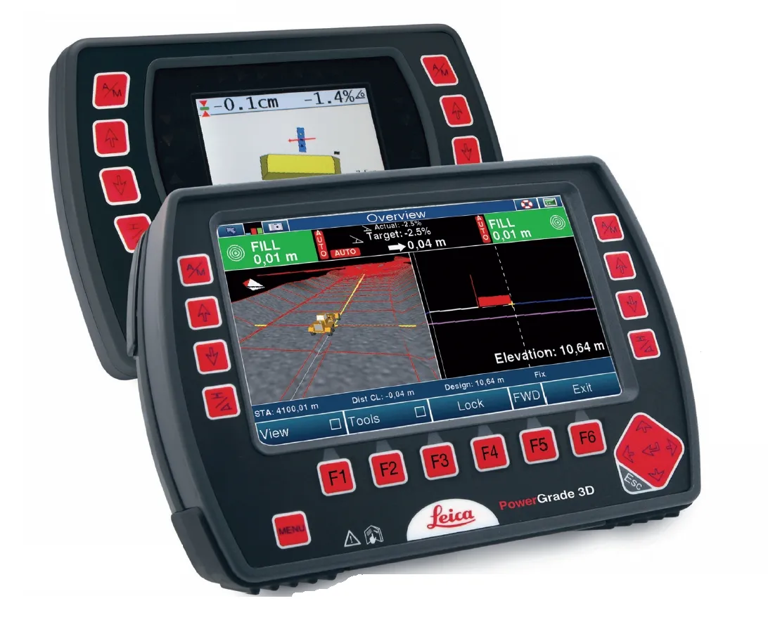
    Leica Geosystems says that its CI-14 CAT Interface Module cuts installation time when fitting its 2D & 3D machine control systems to Caterpillar off-highway machines. Using the CI-14 package is said to eliminate the cost and effort of installing add-on hydraulic valves when fitting control tools from Leica Geosystems to Caterpillar K and T Series dozers and M Series graders. The CI-14 system can be used in conjunction with laser, slope, ultrasonic or 3D GPS/GNSS as well as the Leica PowerTracker total stati
  • GPS machine control speeds dangerous road improvement
    April 11, 2012
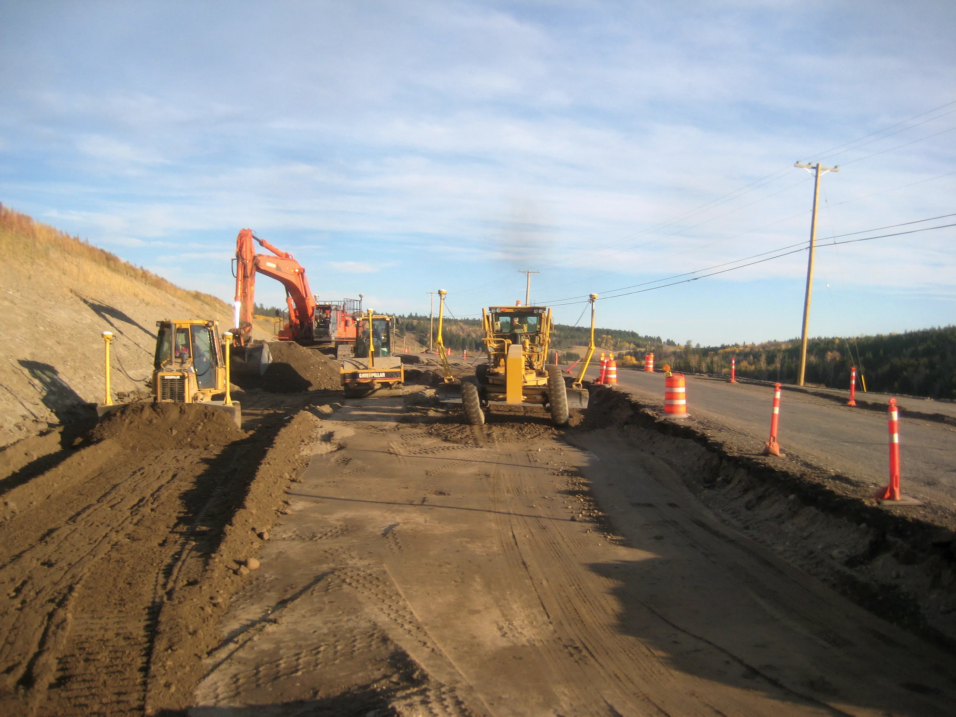
    A Canadian contractor has carried out major roadworks to improve safety on a dangerous stretch of road, using technology to complete the work smoothly. Wiltech Developments, located in West Kelowna, British Columbia, has a great deal of experience. In the contracting sector. The firm works in most. of British Columbia and currently owns more than 40 pieces of heavy machinery, with the majority of these units featuring Trimble Grade Control equipment, a move that has improved its operations.
  • Asphalt paving is seeing innovative new technology
    April 4, 2013
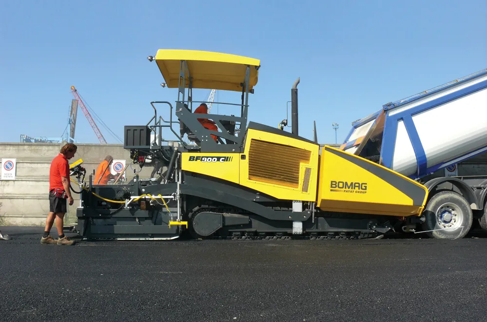
    With new machines coming to market, the asphalt paving sector is seeing an array of sophisticated technology now available
  • Millimetre accuracy for concrete paving
    July 30, 2019
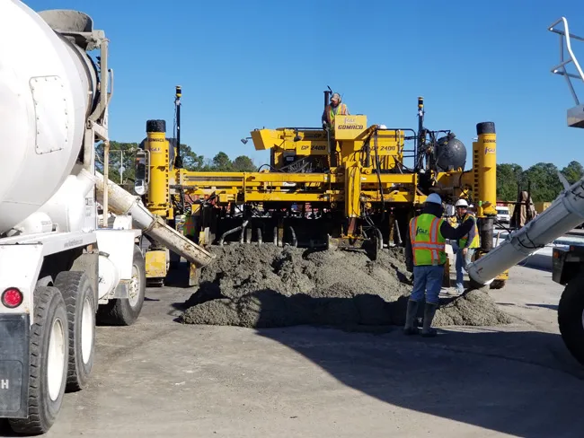
    Concrete paving is now benefiting from the use of sophisticated machine control tools to deliver accuracy and high-quality surfaces Heavy use of concrete roads and runways over time will reveal any flaws in workmanship, the invasion of water, or the wear from use. Discolouration, scaling, crazing, cracking, or curling will sometimes occur due to a poor ready-mix batch, inadequate curing procedure, subgrade settlement, or improper bonding of the finish layer. Concrete surfaces are generally very durab