
Connected Construction

Data handling for efficient machine control
October 16, 2012
The rapid increase in information availability is transforming the construction sector. Conventional methods used for sourcing geographic data based on maps and localised sampling meant that there was often a lack of accurate information relating to ground conditions at specific areas where work was planned, often resulting in unwelcome surprises for construction companies along with additional costs for projects.
Prolec’s On Track with PME
August 21, 2012
Prolec last month launched its new Prolec Machine Engine (PME) platform at Donington Park motor racing circuit in central England. The event attracted around 100 customers said to be keen to witness the company’s next-generation, modular safety and control system for plant machinery. At the launch, Prolec described PME as an elegant replacement for its legendary Liftwatch and Heightwatch product ranges. Visitors watched live demonstrations on a Hitachi ZX130 excavator alongside Donington Park’s Launch Pad b
Leica’s high-tech 5
August 14, 2012
The new Leica Zeno 5 is said to be an entrylevel, rugged personal digital assistant (PDA) for organisations that require a durable compact device with integrated modem and high-sensitive GPS. The Leica Geosystems technology supports field workers by combining a mobile phone with asset collection and management capabilities. The Leica Zeno 5 is said to be shock resistant, withstands a drop from to 1.8m, and is protected against water and dust. The large 9.4cm screen is optimised for sunlight readability and
Topcon and Faro scan new horizons
August 13, 2012
Topcon Europe Positioning and FARO has signed a partnership agreement for the distribution of FARO Laser Scanner Focus3D in most European countries, the Middle East and Africa. Sander Jongeleen, product manager for mobile mapping at Topcon Europe Positioning, said: “The Focus3D has been designed for close range laser scanning, and is equipped with a very intuitive user interface. Sitting alongside our GLS-1500, the Focus3D will allow our distribution network to address every segment of the terrestrial scann
Improved survey data handling
August 2, 2012
Leica Geosystems says that its Leica MobileMatriX v3.0 package can be used to synchronise survey data with an enterprise geodatabase, transfer digital images taken from a mobile phone via Bluetooth and link it with a feature, in addition to many other improvements. The firms says that its MobileMatriX v3.0 package offers a flexible and powerful mobile GIS application and can be used in both large projects and small projects involving only a few field crews. Survey data can be replicated within the editing p
On-site computing power
August 2, 2012
Leica Geosystems is expanding its range with the launch of its Leica DX10 Field Controller. This robust site PDA is designed specifically for use in the tough construction environment, is compact, versatile and powerful. The Leica DX10 delivers high performance and reliability and can cope with vibration, shock and temperature extremes. It features an ergonomically shaped case and weighs just 482grammes. Features include Bluetooth capabilities, a high contrast colour display, a 520MHz Intel Xscale processor
Highway condition monitoring move
August 2, 2012
Geospatial surveying specialist Yotta DCL now has a contract with Southampton City Council for road surface condition monitoring and is using its advanced laser technology. Yotta DCL is surveying 300km of the city's roads using its sophisticated ARAN survey vehicle which uses innovative laser scanning and precision GPS systems. These surveys are operating as part of a UK Government-specified programme called Surface Condition Assessment for the National Network of Roads (SCANNER). This will provide the city
A competitive market
August 2, 2012
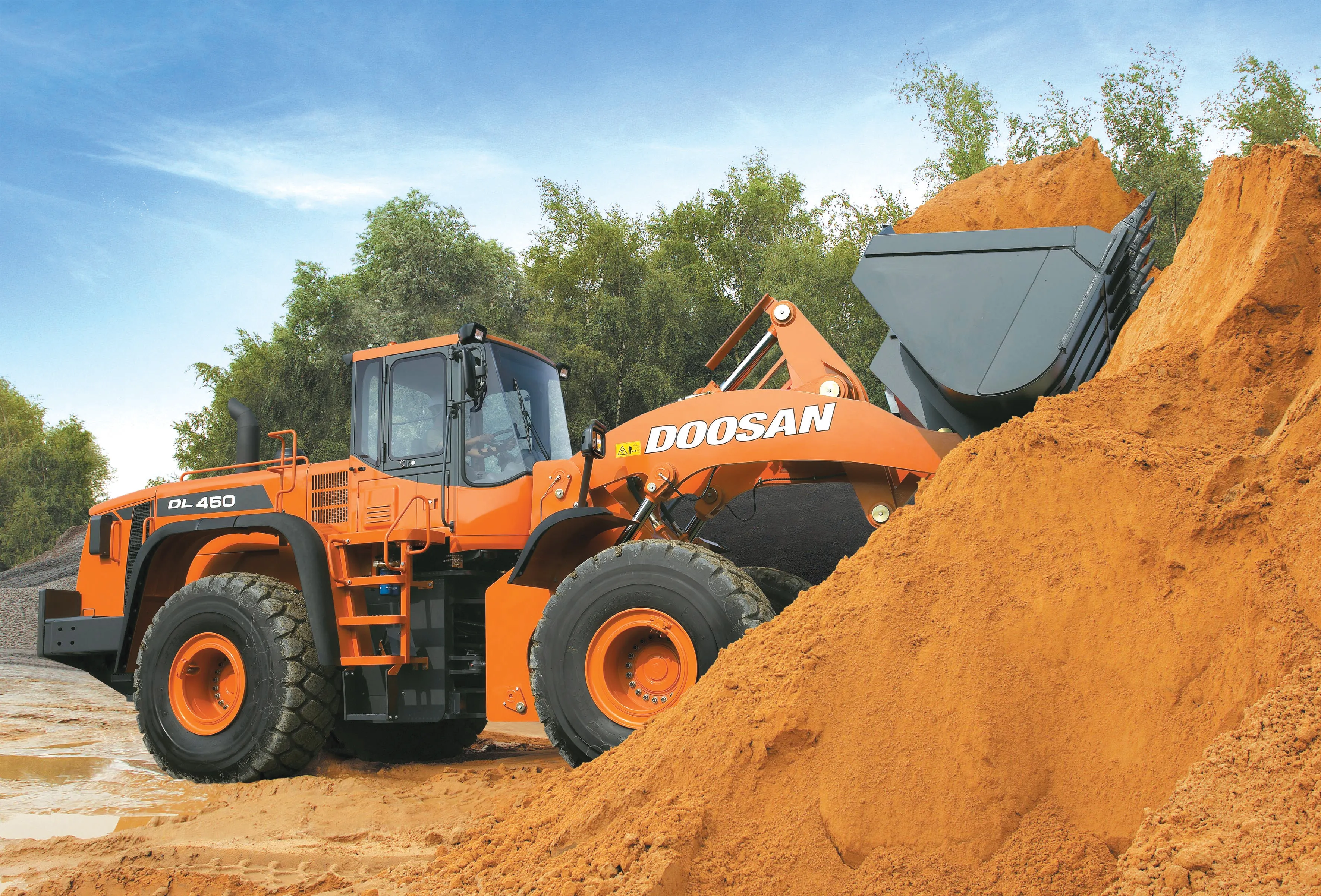
Competition is increasing in the earthmoving sectors, and for some companies market share is improving The wheeled loader market is becoming more competitive, with a number of firms now challenging the leading players, Caterpillar, Komatsu and Volvo. In other earthmoving product sectors such as excavators, companies such as Case, Doosan, Hyundai, JCB, Liebherr and Volvo are becoming more aggressive in terms of sales and are capturing market share. Case is gearing up its operations in Western Europe, Eastern
Mapping effectively with vehicle-based imaging
July 23, 2012
Yotta is offering an innovative vehicle-based imaging service that will provide accurate high-resolution panoramic street-level views of highway features. The vehicle is equipped with a 60 megapixel panoramic camera developed by Yotta and uses Applanix satellite positioning technology to log the exact location of each image. The vehicle cam improves street-level mapping operations with accurate 3D images of buildings and other highway features, such as signs, trees, barriers and fences. Called Y360, the veh
Drilling's novel solutions
July 23, 2012
In the drilling and hydraulic attachment sectors too, firms are offering novel solutions for the customer. Atlas Copco continues to develop its comprehensive range of drilling solutions in the shape of its latest down-the-hole (DTH) and SmartRig variants, as well as adding new compact rigs and new consumables to the line-up. The firm's latest Roc L630 DTH rig benefits from a new feed as well as improved cooling. The new aluminium feed is said to improve hole straightness and hole quality. It also allows the