Highway condition monitoring move

Geospatial surveying specialist Yotta DCL now has a contract with Southampton City Council for road surface condition monitoring and is using its advanced laser technology. Yotta DCL is surveying 300km of the city's roads using its sophisticated ARAN survey vehicle which uses innovative laser scanning and precision GPS systems. These surveys are operating as part of a UK Government-specified programme called Surface Condition Assessment for the National Network of Roads (SCANNER). This will provide the city
August 2, 2012 Read time: 2 mins
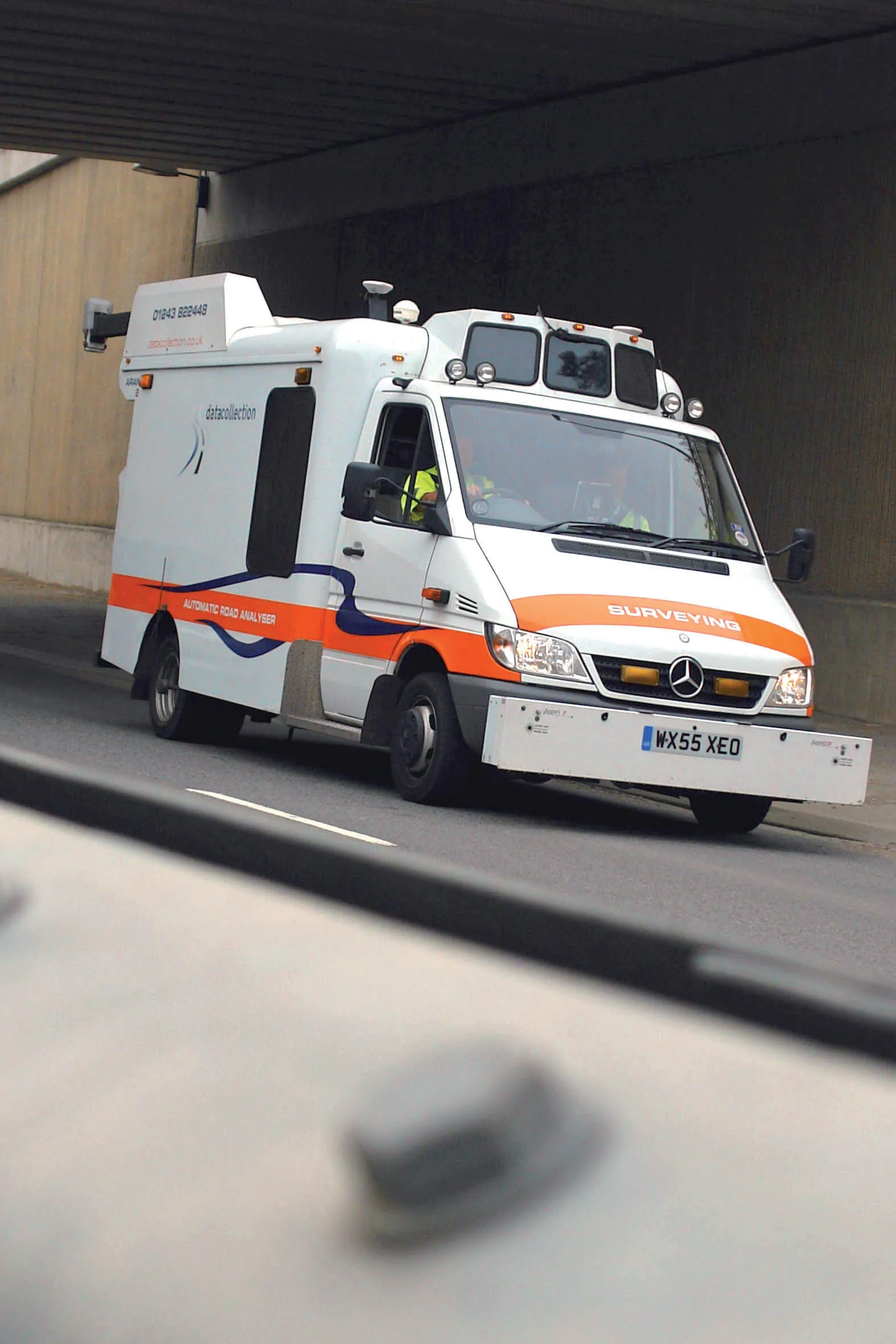
Yotta's sophisticated, Canadian-developed pavement monitoring technology can identify road repair needs quickly
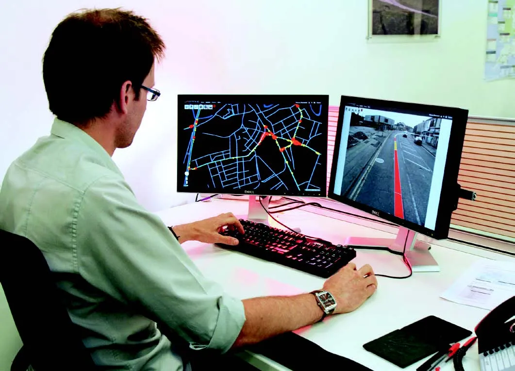
Geospatial surveying specialist 5153 Yotta DCL now has a contract with 3548 Southampton City Council for road surface condition monitoring and is using its advanced laser technology. Yotta DCL is surveying 300km of the city's roads using its sophisticated ARAN survey vehicle which uses innovative laser scanning and precision GPS systems. These surveys are operating as part of a UK Government-specified programme called Surface Condition Assessment for the National Network of Roads (SCANNER). This will provide the city with accurate data that will allow the highway team to plan maintenance programmes and budgets more effectively. The highly specialised ARAN vehicle is an Anglo-Canadian development equipped with an advanced surface laser scanner that captures surface data with its precise location identified by a military-grade satellite positioning system. The accurate location information allows the survey data to be matched with other highways data such as records from on-foot highways defects surveys. Data captured by the ARAN vehicle shows defects such as wheelpath rutting, edge deterioration and cracks as well as the road geometry and longitudinal profile.

For more information on companies in this article

Related Content

  • Efficient asset management delivers
    April 25, 2013
    Maximising the economic benefit of infrastructure assets can be achieved through delivering better quality maintenance. Increasing utilisation of infrastructure follows on from those assets being in better condition. Clearly by tracking infrastructure condition closely, huge gains can be made in addressing technical issues before they become more serious and more costly, as well as minimising disruption. In UK city Birmingham, high resolution aerial photography from Bluesky is helping the city council under
  • Asset management can be optimised with new technology
    August 22, 2013
    An array of asset management technologies and capabilities are now available to help clients optimise infrastructure assessments. Global survey and geotechnical group, Fugro, has signed a multi-year agreement with Dutch pavement consultant, KOAC•NPC. This move will see the firms combine capabilities to undertake highway surface condition contracts in the Netherlands. Under the agreement, Fugro will collect surface condition data using its ARAN road scanning vehicle. KOAC•NPC, will carry out the post pro
  • Yotta DCL wins prized M40 UK surveying contract
    August 7, 2013
    Highway’s technology and surveying company Yotta DCL has won a contract to provide surveys for Carillion on the M40 between southern England and the West Midlands worth €433,641 (£375,000). Yotta DCL were awarded the five-year contract after being shortlisted through an e-auction, which sees vetted survey providers bid against each other for the survey work. Carillion holds the Operation and Maintenance agreement with UK Highways, which is the M40 DBFO (design, build, finance and operate) company. Yotta DC
  • Yotta develops new tools for sophisticated GIS package
    April 25, 2013
    Highway technology and services company Yotta DCL has announced new features for Horizons. The web-based platform integrates GIS, pavement and asset management for highways authorities and agencies to use in a visualised asset management system. The new version 2.3 adds features and functionality across three modules: Explorer, Analysis and Management. Explorer allows users to view, load and visualise a range of datasets, including base network data, their condition in fine detail, plus relevant asset or co