Get the real picture with Image Logger

RoadBotics has placed time-stamped geo-spatial images on GIS-enabled maps.
By David Arminas July 31, 2020 Read time: 2 mins
Image Logger, the first product in the company’s cloud-based RoadWay Operating System online platform

RoadBotics is announcing the addition of Image Logger to its growing suite of products to help communities digitise assets such as roads, sidewalks and trails.

The company, based in Pittsburgh in the US state of Pennsylvania, said the technology places time-stamped geo-spatial image data on a GIS-enabled map. The result allows local authorities to view all public assets on one platform - from a desk or out in the field.

“The Image Logger is a great addition to our existing products and tools for road and infrastructure management,” said Matt Lucas, head of product at Roadbotics. “It helps our clients to better administer their assets while saving valuable resources.”

RoadBotics - known for automated pavement assessments using a smartphone for data collection –users can collect data on roads and adjacent assets such as signage and public right of ways including sidewalks, bike trails and walking paths. Whether collected monthly, seasonally or before and after maintenance projects, up-to-date data is invaluable for asset management.

The Image Logger  was released in early June as the first product for the company’s new RoadWay Operating System, a cloud-based online platform. RoadWay OS helps governments manage and administer their public infrastructure asset data in one central location. “Image Logger accomplishes that objective by the ease of use and breadth of data available,” said Benjamin Schmidt, president and co-founder of RoadBotics.

Roadway OS is also available to outside consultants and professionals who help governments maintain infrastructure, whether this is managing tactical day-to-day operations or enhancing strategic planning.

Related Content

  • Terex MP buys Canadian concrete mixer company
    August 2, 2022
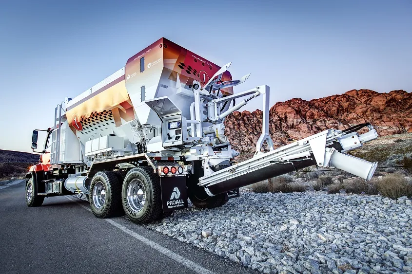
    Terex Materials Processing (MP) has acquired Canadian company ProAll, a specialist producer of mobile volumetric concrete mixers.
  • Know what lies below with Leica’s DSX 3D utility detection system
    April 11, 2025

    Emergency road repair work needn’t create yet another emergency by hitting unknow utility pipes and other systems.  

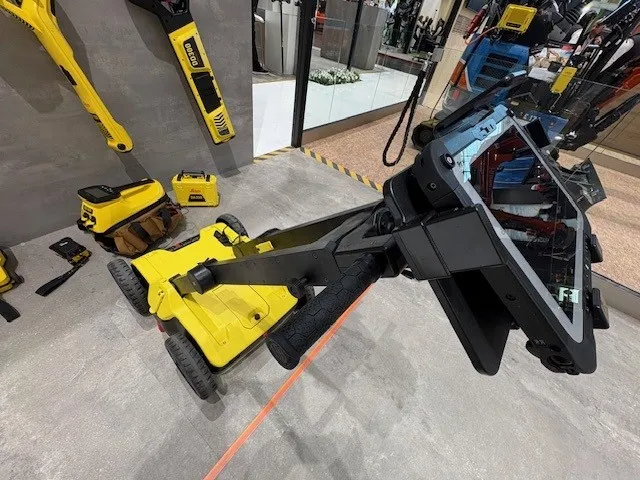
    Leica Geosystems says its DSX utility detection solution can quickly be walked over the area where work is about to start and immediately show an excavator operator any dangers that lie below.

    It locates, visualises and map utilities. Unlike any other ground penetrating radar system, the Leica DSX maximises productivity with cutting-edge software that automates data analysis and creates a 3D utility map of the field.

  • Iteris fuses video and radar
    May 2, 2012
    Iteris has announced Vantage Vector, the latest addition to its portfolio of Vantage vehicle detection solutions. The new device, which fuses the company's proven video detection with radar sensor technology to extend the range and richness of detection data, will begin shipping in the first quarter of 2012.
  • World Road Association Secretary General: ‘Act now on global road infrastructure’
    May 29, 2014
    The Secretary General of the World Road Association-PIARC has stressed the need for urgent unified action to maintain international road infrastructure. Jean-François Corté, whose association unites the road administrations of 120 governments and has members, individuals, companies, authorities and organisations in over 140 countries, spoke ahead of the keenly awaited PPRS Paris 2015 Congress 22-25 February 2015, which he is chairing. Emphasising the importance of quality road infrastructure and the need