Get the real picture with Image Logger

RoadBotics has placed time-stamped geo-spatial images on GIS-enabled maps.
By David Arminas July 31, 2020 Read time: 2 mins
Image Logger, the first product in the company’s cloud-based RoadWay Operating System online platform

RoadBotics is announcing the addition of Image Logger to its growing suite of products to help communities digitise assets such as roads, sidewalks and trails.

The company, based in Pittsburgh in the US state of Pennsylvania, said the technology places time-stamped geo-spatial image data on a GIS-enabled map. The result allows local authorities to view all public assets on one platform - from a desk or out in the field.

“The Image Logger is a great addition to our existing products and tools for road and infrastructure management,” said Matt Lucas, head of product at Roadbotics. “It helps our clients to better administer their assets while saving valuable resources.”

RoadBotics - known for automated pavement assessments using a smartphone for data collection –users can collect data on roads and adjacent assets such as signage and public right of ways including sidewalks, bike trails and walking paths. Whether collected monthly, seasonally or before and after maintenance projects, up-to-date data is invaluable for asset management.

The Image Logger  was released in early June as the first product for the company’s new RoadWay Operating System, a cloud-based online platform. RoadWay OS helps governments manage and administer their public infrastructure asset data in one central location. “Image Logger accomplishes that objective by the ease of use and breadth of data available,” said Benjamin Schmidt, president and co-founder of RoadBotics.

Roadway OS is also available to outside consultants and professionals who help governments maintain infrastructure, whether this is managing tactical day-to-day operations or enhancing strategic planning.

Related Content

  • GRAA winning project profile: RJ122 Highway Rehabilitation
    June 24, 2013
    The State of Rio de Janeiro, Brazil administers a wide network of highways and is faced with a significant maintenance management challenge of how to best make improvements having a perdurable impact. The maintenance management for the project needed to be done at a reasonable cost and needed to be able to withstand a heavy traffic flow. To meet such challenges, the Rio de Janeiro selected project RJ122 to undertake a new type of maintenance strategy. The RJ122 highway is a unique paving project in the rece
  • Paris traffic management for PTV
    September 25, 2023
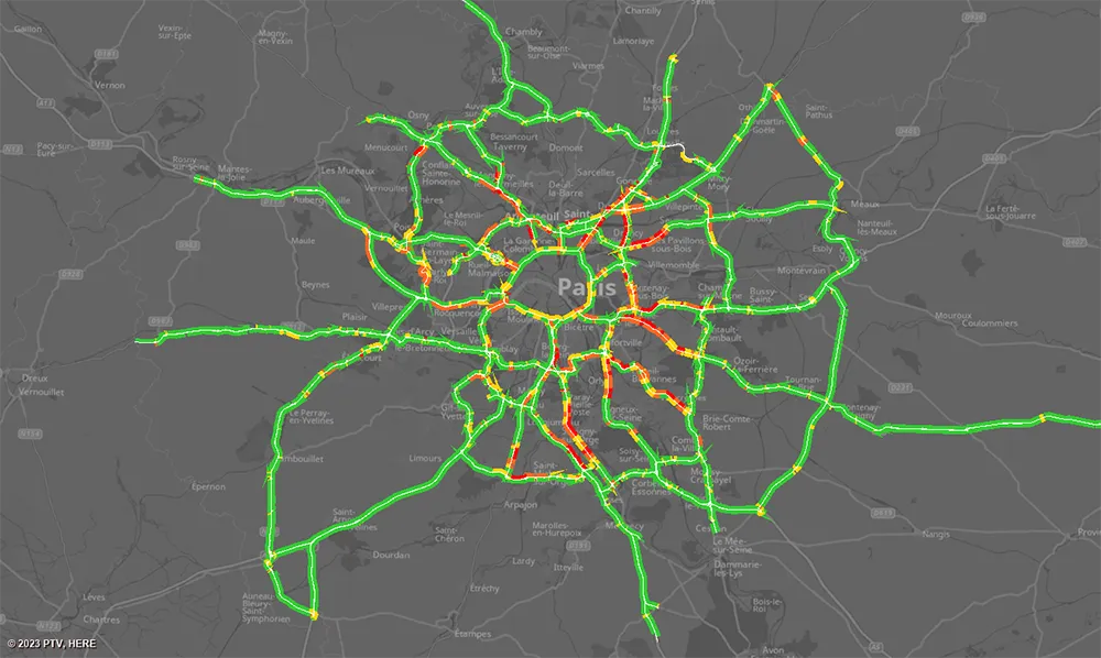
    The Paris region highway authority has adopted PTV technology, including PTV Flows, to enhance traffic management such as live traffic updates.
  • Picture perfect imaging
    June 18, 2012
    Topcon has produced a new imaging station which, it claims, will dramatically increase productivity when used in two-man auto-tracking or single operator robotic modes. Using prism auto-tracking scanning interface technology the IS-3, when used with Topcon’s RC-4 remote control system, will track prisms up to 1,000m away.
  • Picture perfect imaging
    June 26, 2012
    Topcon has produced a new imaging station which, it claims, will dramatically increase productivity when used in two-man auto-tracking or single operator robotic modes. Using prism auto-tracking scanning interface technology the IS-3, when used with Topcon’s RC-4 remote control system, will track prisms up to 1,000m away.