Texo flying high in the UK with a Topcon Falcon 8+ UAV

Texo Drone Survey and Inspection says that it is the first company in the UK to fly the Falcon 8+ UAV system from Topcon. The multicamera payload Topcon Falcon 8+ is the third-generation edition of the Falcon Drone system that was introduced in 2009 for aerial imaging, monitoring and mapping. The Topcon Falcon 8+ needs minimal pilot corrections while its GCS includes built-in automated flight functions. There is also advanced flight planning thanks to the Intel Cockpit Controller.
July 3, 2018 Read time: 2 mins
Texo Drone Survey and Inspection says that it is the first company in the UK to fly the Falcon 8+ UAV system from Topcon.


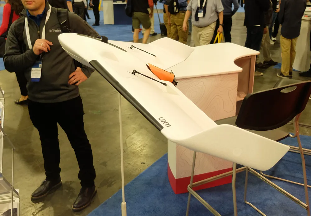
The multicamera payload 342 Topcon Falcon 8+ is the third-generation edition of the Falcon Drone system that was introduced in 2009 for aerial imaging, monitoring and mapping.  
The Topcon Falcon 8+ needs minimal pilot corrections while its GCS includes built-in automated flight functions. There is also advanced flight planning thanks to the Intel Cockpit Controller.  

The Intel Cockpit ground control is a water-resistant station built for operators to plan and execute highly complex missions with ease with the integration of the complete single hand flight control joystick. In addition, the Intel Cockpit ground control features an Intelbased tablet and also supports low-latency digital video links. This allows for up to 1080p resolution for the best possible live view.

Topcon Falcon 8+ is said to be resistant to magnetic interference and automatically compensates for wind gusts. There is also an active vibration damping system.  

Safety features include three autopilots, a redundant propulsion system as well as a redundant radio link. The Intel Falcon 8+ System is powered by a dual battery system comprised of Intel Powerpack smart batteries, bringing redundancy even to the power supply. The batteries feature automatic balancing, storage mode, charging and LEDs that display remaining battery life.  

Texo Drone’s key services range from visual inspection and thermographic survey through to detailed survey-grade LiDAR mapping and measurement, as well as multi-hyperspectral analysis. The company maintains a fleet of rotor and fixed wing UAV platforms for contracts nationally and overseas at short notice. ¬

For more information on companies in this article

Related Content

  • Sophisticated georeferencing technology from Applanix
    November 24, 2020
    Applanix is now offering the Trimble AP+ Air OEM solution for Direct Georeferencing of airborne sensor data.
  • VIDEO: Telstra drone LIDAR maps Melbourne’s EastLink Mullum Tunnel
    April 13, 2018
    One of the applications for LIDAR is to make high resolution 3-D maps. Self-driving cars are pre-loaded with a LIDAR map of the trials area in which they are permitted to fully self-drive themselves. The cars also have their own LIDAR scanner which captures a real-time LIDAR view of the vehicle’s surroundings. The fully autonomous driving system within these prototype cars compares the real-time LIDAR view against the pre-loaded LIDAR map to significantly increase the accuracy of their self-positioning
  • Topcon’s sophisticated drone offering
    April 26, 2018
    The sophisticated drone models offered by Topcon Positioning have been made available through the firm’s partnership with Intel. These highly-advanced units are available in fixed wing or rotary versions, with features including triple redundancy to ensure reliability and prevent failures. The units feature high resolution cameras, which offer accurate and comprehensive datasets for photogrammetry work. Chris Emery, Topcon’s business manager monitoring solutions, Europe said: “You get swathes of data for
  • Innovative GIS advances from Bluesky
    July 18, 2012
    Aerial survey specialist Bluesky is funding research into the development and use of a new system to map the UK’s cities and towns at night. Bluesky has teamed up with the University of Leicester to look at solutions using new high sensitivity camera sensor technology. Mounted on survey aircraft, the new system can record the location of street lights, illuminated road signs and other night-time sources of light. This can deliver an accurate resource for asset inventories, light pollution assessment and ene