Topcon’s sophisticated drone offering

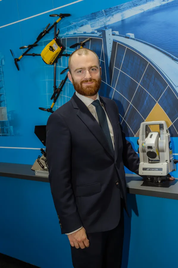
The sophisticated drone models offered by Topcon Positioning have been made available through the firm’s partnership with Intel. These highly-advanced units are available in fixed wing or rotary versions, with features including triple redundancy to ensure reliability and prevent failures. The units feature high resolution cameras, which offer accurate and comprehensive datasets for photogrammetry work. Chris Emery, Topcon’s business manager monitoring solutions, Europe said: “You get swathes of data for
April 26, 2018 Read time: 1 min
Topcon’s drone range offers accurate data gathering

The sophisticated drone models offered by 342 Topcon Positioning have been made available through the firm’s partnership with Intel. These highly-advanced units are available in fixed wing or rotary versions, with features including triple redundancy to ensure reliability and prevent failures.

The units feature high resolution cameras, which offer accurate and comprehensive datasets for photogrammetry work. Chris Emery, Topcon’s business manager monitoring solutions, Europe said: “You get swathes of data for as-built or verification purposes.”

Combined with new analytical tools, this technology means that there is no longer a need to send personnel into high-risk working areas. Data can be quickly collected, analysed and used, for example, in the evaluation of real-time progress on construction operations or producing stockpile reports.

For more information on companies in this article

Related Content

  • Topcon’s asset monitoring system offers security
    April 26, 2018
    Deformation monitoring is presenting a major business development for Topcon Positioning. Chris Emery, business manager monitoring solutions Europe, called it the biggest growth area in his business segment. At the moment, the asset life extension segment is growing at around 25% per year for Topcon. Emery said: “The problem is that, post war, so many structures were built. They’re now coming to the end of their design life, or have even gone past their design life.” He said that the package is able to
  • Positioning tools continue to improve
    July 16, 2012
    Topcon says that its new IP-S2 package combines GNNS positioning capabilities with inertial sensors, while the firm also has a solution for customers wanting to mix and match receiver components. The IP-S2 is a vehicle-mounted, mobile 3D tool that offers precision mapping and surveying capabilities. The package collects data using 3D laser scanners, LIDAR, and/or cameras, and this is then integrated, time-stamped and geo-referenced. The customer can use this assembled data to combine LIDAR point cloud and d
  • Latest GIS and software tools improve operations
    February 24, 2012
    Innovative GIS and software solutions are coming to market from the three key market players - Mike Woof reports Competition is strong in the field for GIS and surveying systems as well as the associated software. The three major players in the sector, Leica Geosystems, Topcon and Trimble, all invest heavily in research and development and continue to roll out new solutions for construction customers that will boost the efficiency of surveying as well as overall project implementation.
  • In control, with advanced technology
    August 15, 2019
    Machine control technology continues to advance, with new systems offering contractors major gains in working efficiency The latest developments in machine control technology once again push the bar in terms of advancements. The latest systems allow contractors to work even more effectively and efficiently than before. Doosan has unveiled one of the first uses globally of 5G technology to remotely control construction and quarrying machines. The firm has coined the term ‘TeleOperation’ to describe the