Streetworks management

New software from Mayrise Systems is designed to allow local authorities to improve street works. Contractors use permits to restrict works to fixed dates and conditions and the latest version of the Mayrise Street Works software allows better scheduling of operations. The package can be used to manage notices, updates and the tracking of works status with automated alerts on over-running work. It also offers integrated MapNow mapping to provide a quick visual works locator, geographic sites analysis and fo
July 19, 2012 Read time: 1 min
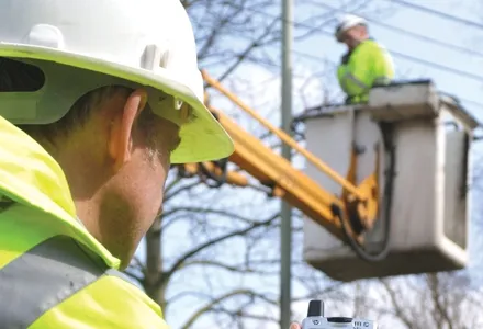
New software from 2606 Mayrise Systems is designed to allow local authorities to improve street works. Contractors use permits to restrict works to fixed dates and conditions and the latest version of the Mayrise Street Works software allows better scheduling of operations. The package can be used to manage notices, updates and the tracking of works status with automated alerts on over-running work. It also offers integrated MapNow mapping to provide a quick visual works locator, geographic sites analysis and forward planner.

For more information on companies in this article

Related Content

  • Klimator to monitor Swedish road conditions
    September 14, 2022
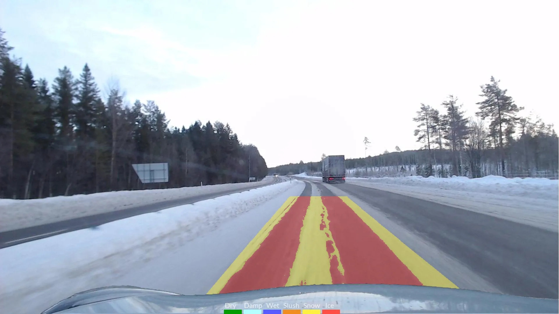
    The project will use Klimator's detection technology called AHEAD which will combine with friction information from floating car data – FCD - to improve the understanding and interpretation of FCD on multiple lanes during winter.
  • Do we need satellites for accurate navigation?
    April 24, 2012
    Dr Michael Milford from Queensland University of Technology's (QUT) Science and Engineering Faculty in Australia has revealed details of research that dispenses with GPS satellites and uses cameras instead to make road navigation a far cheaper and simpler task. "At the moment you need three satellites in order to get a decent GPS signal and even then it can take a minute or more to get a lock on your location," he said. "There are some places geographically, where you just can't get satellite signals and ev
  • Advanced concrete slipforming technology coming to market
    August 1, 2019
    New concrete slipforming technology is said to offer increased performance over earlier generation equipment - Mike Woof writes
  • Know what lies below with Leica’s DSX 3D utility detection system
    April 11, 2025

    Emergency road repair work needn’t create yet another emergency by hitting unknow utility pipes and other systems.  

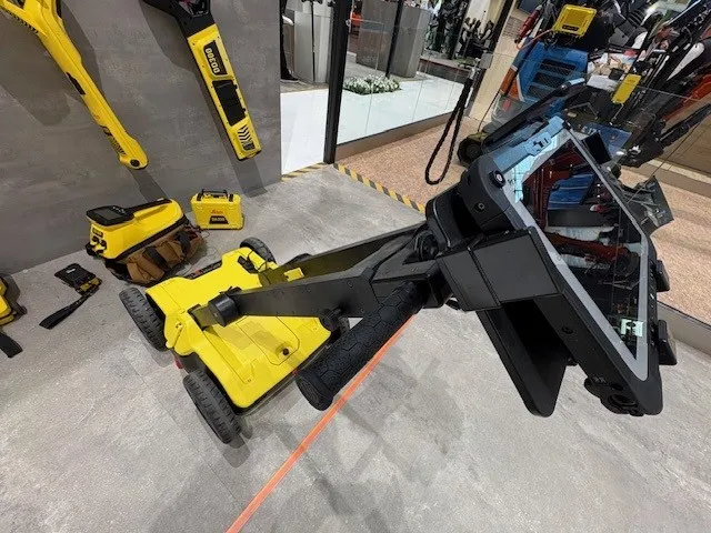
    Leica Geosystems says its DSX utility detection solution can quickly be walked over the area where work is about to start and immediately show an excavator operator any dangers that lie below.

    It locates, visualises and map utilities. Unlike any other ground penetrating radar system, the Leica DSX maximises productivity with cutting-edge software that automates data analysis and creates a 3D utility map of the field.