Dr Michael Milford from Queensland University of Technology's (QUT) Science and Engineering Faculty in Australia has revealed details of research that dispenses with GPS satellites and uses cameras instead to make road navigation a far cheaper and simpler task. "At the moment you need three satellites in order to get a decent GPS signal and even then it can take a minute or more to get a lock on your location," he said. "There are some places geographically, where you just can't get satellite signals and ev
RSSDr Michael Milford from 5219 Queensland University of Technology's (QUT) Science and Engineering Faculty in Australia has revealed details of research that dispenses with GPS satellites and uses cameras instead to make road navigation a far cheaper and simpler task.
"At the moment you need three satellites in order to get a decent GPS signal and even then it can take a minute or more to get a lock on your location," he said. "There are some places geographically, where you just can't get satellite signals and even in big cities we have issues with signals being scrambled because of tall buildings or losing them altogether in tunnels."
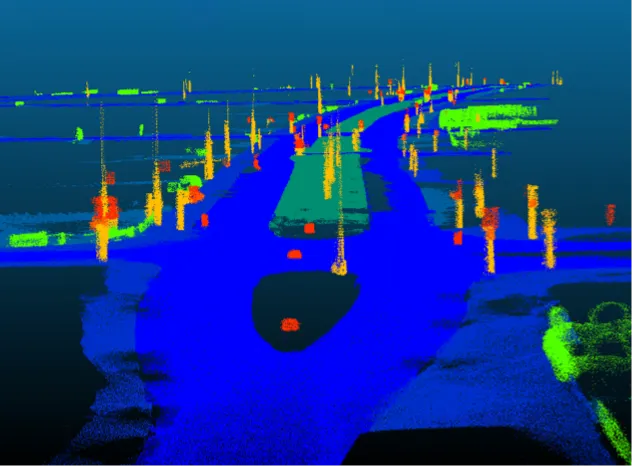
Dr Milford’s world-first approach to visual navigation algorithms, which has been dubbed SeqSLAM (Sequence Simultaneous Localisation and Mapping), uses local best match and sequence recognition components to lock in locations.
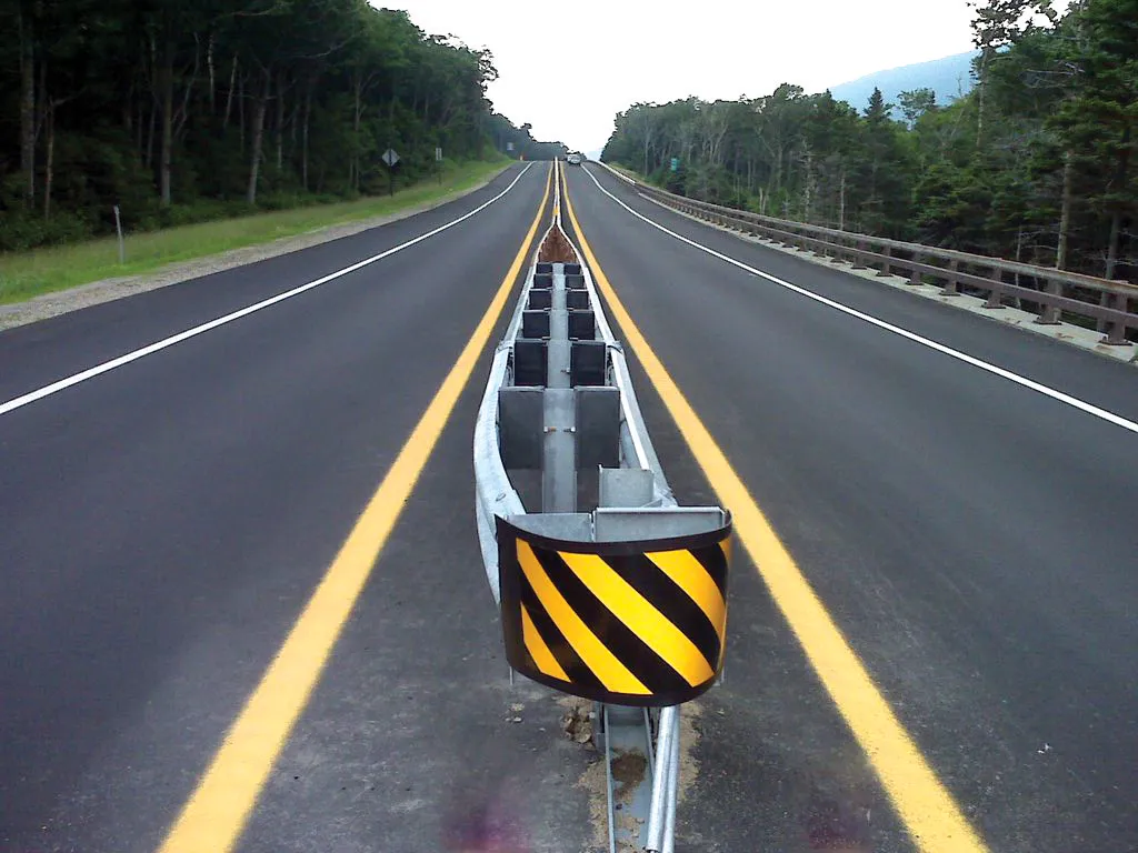
SeqSLAM uses the assumption that you are already in a specific location and tests that assumption over and over again. According to Dr Milford, the ‘revolution’ of visual-based navigation came about when1224 Google took photos of almost every street in the world for its street view project. However, the challenge was making those streets recognisable in a variety of different conditions and to differentiate between streets that were visually similar. The research, which utilises low resolution cameras, was inspired by Dr Milford's background in the navigational patterns of small mammals such as rats.
"My core background is based on how small mammals manage incredible feats of navigation despite their eyesight being quite poor," he said. "As we develop more and more sophisticated navigation systems they depend on more and more maths and more powerful computers. But no one's actually stepped back and thought 'do we actually need all this stuff or can we use a very simple set of algorithms which don't require expensive cameras or satellites or big computers to achieve the same outcome?"
Dr Milford, whose research has been funded by an5220 Australian Research Council $375,000 Discovery Early Career Researcher Award (DECRA) fellowship, will present his paper SeqSLAM: Visual Route-Based Navigation for Sunny Summer Days and Stormy Winter Nights at the International Conference on Robotics and Automation in St Paul, Minnesota, in the US, being held from 14-18 May, 2012.
"At the moment you need three satellites in order to get a decent GPS signal and even then it can take a minute or more to get a lock on your location," he said. "There are some places geographically, where you just can't get satellite signals and even in big cities we have issues with signals being scrambled because of tall buildings or losing them altogether in tunnels."
Dr Milford’s world-first approach to visual navigation algorithms, which has been dubbed SeqSLAM (Sequence Simultaneous Localisation and Mapping), uses local best match and sequence recognition components to lock in locations.
SeqSLAM uses the assumption that you are already in a specific location and tests that assumption over and over again. According to Dr Milford, the ‘revolution’ of visual-based navigation came about when
"My core background is based on how small mammals manage incredible feats of navigation despite their eyesight being quite poor," he said. "As we develop more and more sophisticated navigation systems they depend on more and more maths and more powerful computers. But no one's actually stepped back and thought 'do we actually need all this stuff or can we use a very simple set of algorithms which don't require expensive cameras or satellites or big computers to achieve the same outcome?"
Dr Milford, whose research has been funded by an