Sokkia is offering new field service solutions for GNSS

Sokkia is introducing new field and office software solutions for its total stations, robotics and GNSS rover systems. These are the GeoPro Field and GeoPro Office packages. GeoPro Field provides a graphical user interface designed to collect field measurements for land surveying and construction activities. Sokkia GeoPro Office is the office-processing complement to the field software and can clean, process, and analyse field data into an easy-to-use form. The office software can also be expanded wi
January 31, 2017 Read time: 1 min
Sokkia is introducing new field and office software solutions for its total stations, robotics and GNSS rover systems. These are the GeoPro Field and GeoPro Office packages.

GeoPro Field provides a graphical user interface designed to collect field measurements for land surveying and construction activities. 1090 Sokkia GeoPro Office is the office-processing complement to the field software and can clean, process, and analyse field data into an easy-to-use form.

The office software can also be expanded with an optional 3D and road design module, for further versatility to design and site layout preparation. The firm says that the packages offer user-friendly graphical interfaces, with simple in-field functions and office workflows.

For more information on companies in this article

Related Content

  • Trimble DPS900 Drilling and Piling System
    August 27, 2013
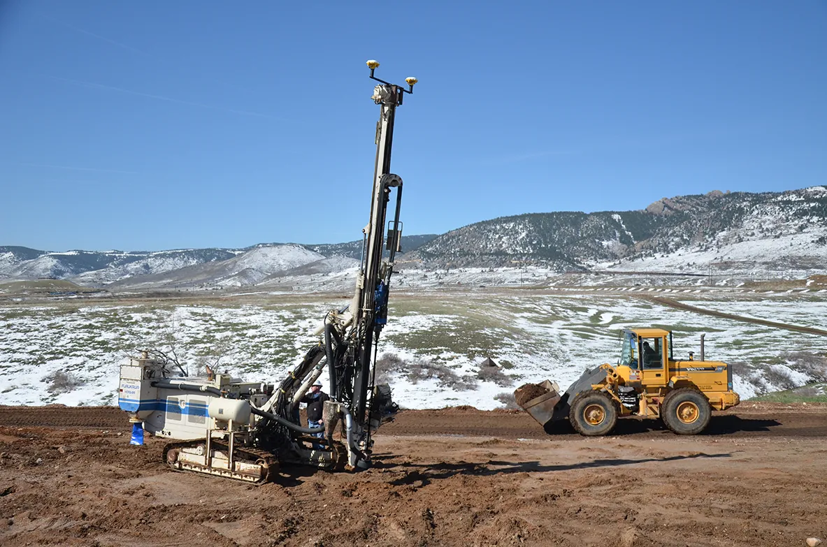
    Trimble has introduced the Trimble DPS900 Drilling and Piling System, a new machine control solution for drilling and piling contractors. Part of the Trimble Connected Site portfolio, the new DPS900 system enables contractors to perform drilling and piling operations quickly, safely and accurately. The new system can also help promote jobsite safety by minimising the need for stakes, construction surveying and personnel near the machine during drilling operations. The DPS900 system gives contractors
  • Accurate deformation monitoring from Leica Geosystems
    March 7, 2017
    Leica Geosystems is now offering a sophisticated tool that allows engineers to measure deformation accurately. The Leica GeoMoS Now! Survey Edition is a service for monitoring and managing 3D deformation of points of potentially unstable areas for surveying projects. It has a streamlined workflow and can deliver monitoring reports of man-made structures or natural dangers to smart devices. Surveyors can use this to upload coordinates, process and visualise deformations, allowing other users to access result
  • Machine safety systems from GKD
    May 30, 2018
    UK-based firm GKD Technologies has developed a new range of electronic sensor technology and software for use as safety warning devices to protect people, machines and equipment in construction and earthmoving machines. The latest unit is the upgraded GKD 2RCi rated capacity load indicator, which is designed to be retrofitted onto hydraulic excavators. The indicator is said to boost safety during lifting operations. All lifting equipment and excavators have a specified safe working load, stated by the man
  • Cat’s wider range
    May 20, 2019
    Caterpillar is offering new machine control packages for use with dozers Caterpillar is widening its range of solutions for dozers with the introduction of the GRADE with 3D system for its D3K2, D4K2 and D5K2 models. This package is an automated grade control system using GNSS technology to position the machine's blade, without operator input, from first rough cut to finish grade. In addition, GRADE with 3D incorporates the Cat AccuGrade Ready Option. This system allows the use of universal-total-stati