Improved survey data handling

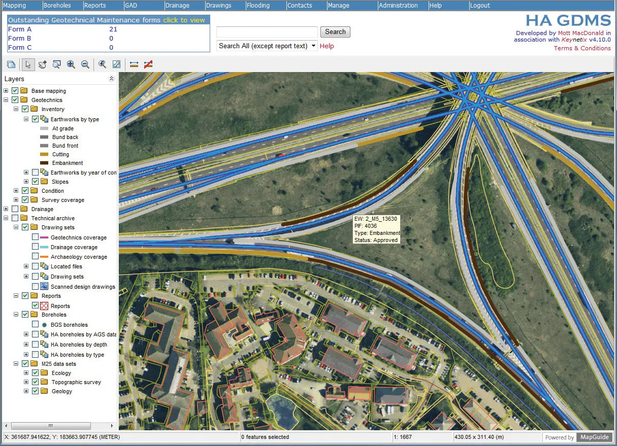
Leica Geosystems says that its Leica MobileMatriX v3.0 package can be used to synchronise survey data with an enterprise geodatabase, transfer digital images taken from a mobile phone via Bluetooth and link it with a feature, in addition to many other improvements. The firms says that its MobileMatriX v3.0 package offers a flexible and powerful mobile GIS application and can be used in both large projects and small projects involving only a few field crews. Survey data can be replicated within the editing p
August 2, 2012 Read time: 2 mins
265 Leica Geosystems says that its Leica MobileMatriX v3.0 package can be used to synchronise survey data with an enterprise geodatabase, transfer digital images taken from a mobile phone via Bluetooth and link it with a feature, in addition to many other improvements. The firms says that its MobileMatriX v3.0 package offers a flexible and powerful mobile GIS application and can be used in both large projects and small projects involving only a few field crews.

Survey data can be replicated within the editing process for customers using ArcGIS to manage spatial data. This allows users to extend their geospatial applications to their colleagues in the field, creating unprecedented data management capabilities. By implementing Leica MobileMatriX 3.0 survey data synchronization in the project workflow, a client can now connect to an enterprise database and modify or re-compute the survey measurements. This improves the workflow between field and office and can provide time and cost savings up to 50%. With Leica MobileMatriX 3.0, the subcontractor can provide a finished geodatabase to the client, without resorting to a conversion process and current analysis has shown a potential time/cost savings of up to and beyond 30-50%.

For more information on companies in this article

Related Content

  • An array of innovative software and GIS solutions will boost construction efficiency
    July 18, 2012
    New software and GIS innovations will help boost construction efficiency - Mike Woof reports Major software suppliers continue to develop their technology and offer new products to the market. Major developments from leading firms will help improve operations for contractors in many segments of the construction industry, from initial design and planning through to maintenance. Version 8 of the well-known ARCADY program for assessment of roundabout capacity is just released by UK transport research and soft
  • Machine control developments from Leica Geosystems, Topcon, Trimble and Wirtgen in the slipforming sector
    July 1, 2013
    Machine control technologies were pioneered in the concrete paving sector with systems having been used for over 10 years. Leica Geosystems was the first of the machine control technology suppliers to offer these systems on concrete slipforming machines and has developed a strong position in this segment. However the company met resistance from some quarters in the construction market and specialist Karl Soar said that some contractors were very reluctant to give up using conventional stringlines. He said,
  • GPS machine control technology aids productivity
    February 21, 2012
    GPS technology offers contractors many benefits and product offerings are growing more diverse, Mike Woof reports. The benefit of GPS technology for the construction industry cannot be overstated.
  • Key developments are changing the face of the machine control market
    April 4, 2013
    Various business moves are changing the face of the machine control sector - Mike Woof reports An array of developments, both business moves and new technologies, are changing the focus for the machine control segment of the construction equipment sector. For a long time three firms, Leica Geosystems, Trimble and Topcon, have dominated this segment. The three are retaining their strong positions in the market but are seeing additional competition from Hemisphere and MOBA. Arguably the biggest news is that T