Improved survey data handling

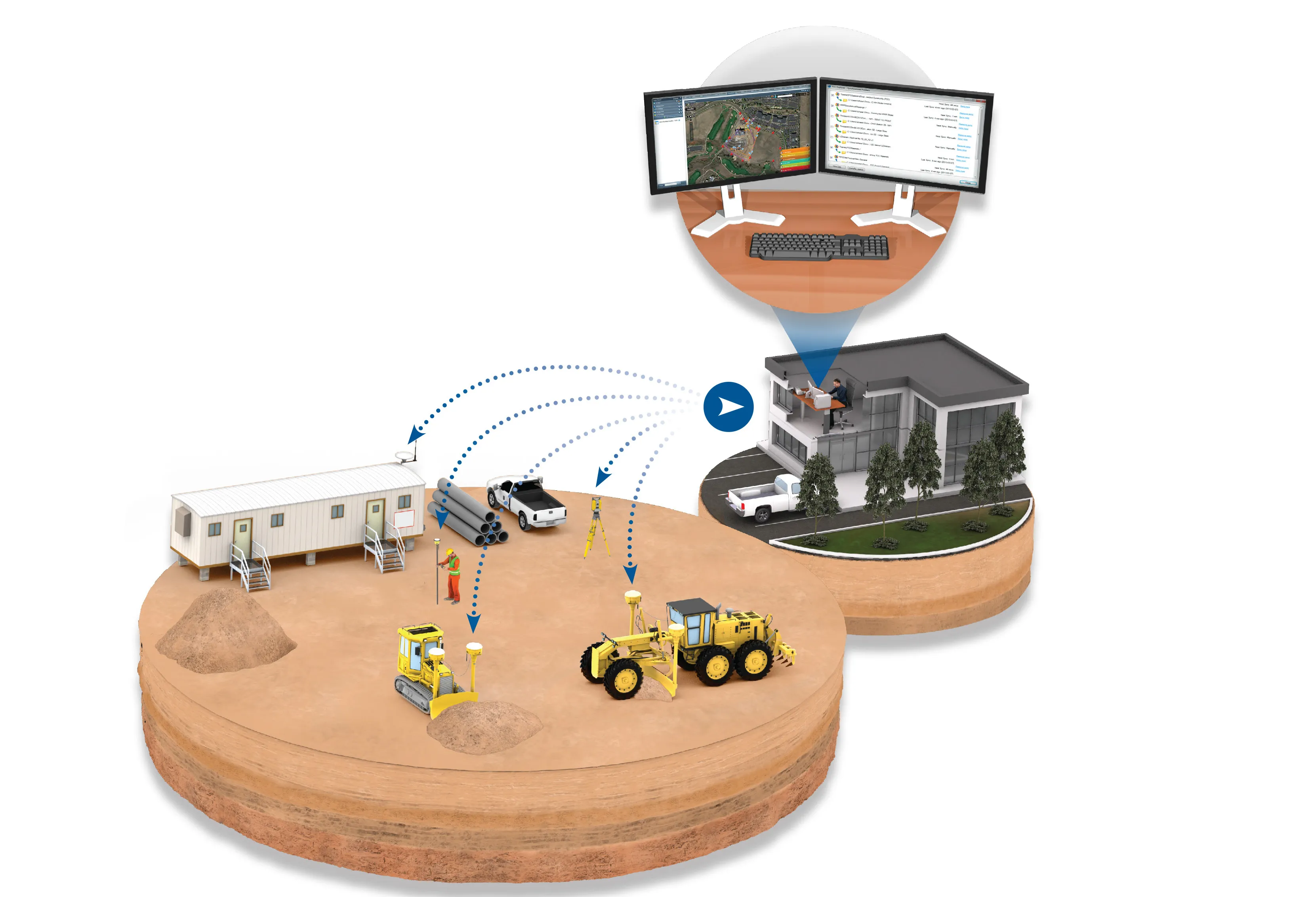
Leica Geosystems says that its Leica MobileMatriX v3.0 package can be used to synchronise survey data with an enterprise geodatabase, transfer digital images taken from a mobile phone via Bluetooth and link it with a feature, in addition to many other improvements. The firms says that its MobileMatriX v3.0 package offers a flexible and powerful mobile GIS application and can be used in both large projects and small projects involving only a few field crews. Survey data can be replicated within the editing p
August 2, 2012 Read time: 2 mins
265 Leica Geosystems says that its Leica MobileMatriX v3.0 package can be used to synchronise survey data with an enterprise geodatabase, transfer digital images taken from a mobile phone via Bluetooth and link it with a feature, in addition to many other improvements. The firms says that its MobileMatriX v3.0 package offers a flexible and powerful mobile GIS application and can be used in both large projects and small projects involving only a few field crews.

Survey data can be replicated within the editing process for customers using ArcGIS to manage spatial data. This allows users to extend their geospatial applications to their colleagues in the field, creating unprecedented data management capabilities. By implementing Leica MobileMatriX 3.0 survey data synchronization in the project workflow, a client can now connect to an enterprise database and modify or re-compute the survey measurements. This improves the workflow between field and office and can provide time and cost savings up to 50%. With Leica MobileMatriX 3.0, the subcontractor can provide a finished geodatabase to the client, without resorting to a conversion process and current analysis has shown a potential time/cost savings of up to and beyond 30-50%.

For more information on companies in this article

Related Content

  • Rapid adoption of GPS machine control
    February 10, 2012
    The high sophistication of GPS machine control systems has resulted in a fast pace of technological advancement. The three major players in the machine control sector, Leica Geosystems, Topcon and Trimble have all made major gains in recent years. The sophistication of the latest systems can combine satellite position data from the GPS and GLONASS networks with information from total stations to provide precise, high speed machine operation. Further more the firms have also prepared themselves for the intro
  • Rapid adoption of GPS machine control
    April 5, 2012
    The high sophistication of GPS machine control systems has resulted in a fast pace of technological advancement. The three major players in the machine control sector, Leica Geosystems, Topcon and Trimble have all made major gains in recent years. The sophistication of the latest systems can combine satellite position data from the GPS and GLONASS networks with information from total stations to provide precise, high speed machine operation. Further more the firms have also prepared themselves for the intro
  • Trimble offering sophisticated package of solutions
    February 2, 2015
    Trimble says that its latest Connected Site solutions offer improved efficiency for connecting workers, machines and projects across the planning, design and construction lifecycle. These technologies suit use by heavy civil contactors and site preparation contractors. Trimble’s mix of hardware, software and mobility technologies streamlines communication and collaboration throughout the construction lifecycle, from planning, design and site preparation through to the finished project. Connecting people
  • Trimble offering sophisticated package of solutions
    January 6, 2017
    Trimble says that its latest Connected Site solutions offer improved efficiency for connecting workers, machines and projects across the planning, design and construction lifecycle. These technologies suit use by heavy civil contactors and site preparation contractors. Trimble’s mix of hardware, software and mobility technologies streamlines communication and collaboration throughout the construction lifecycle, from planning, design and site preparation through to the finished project. Connecting people