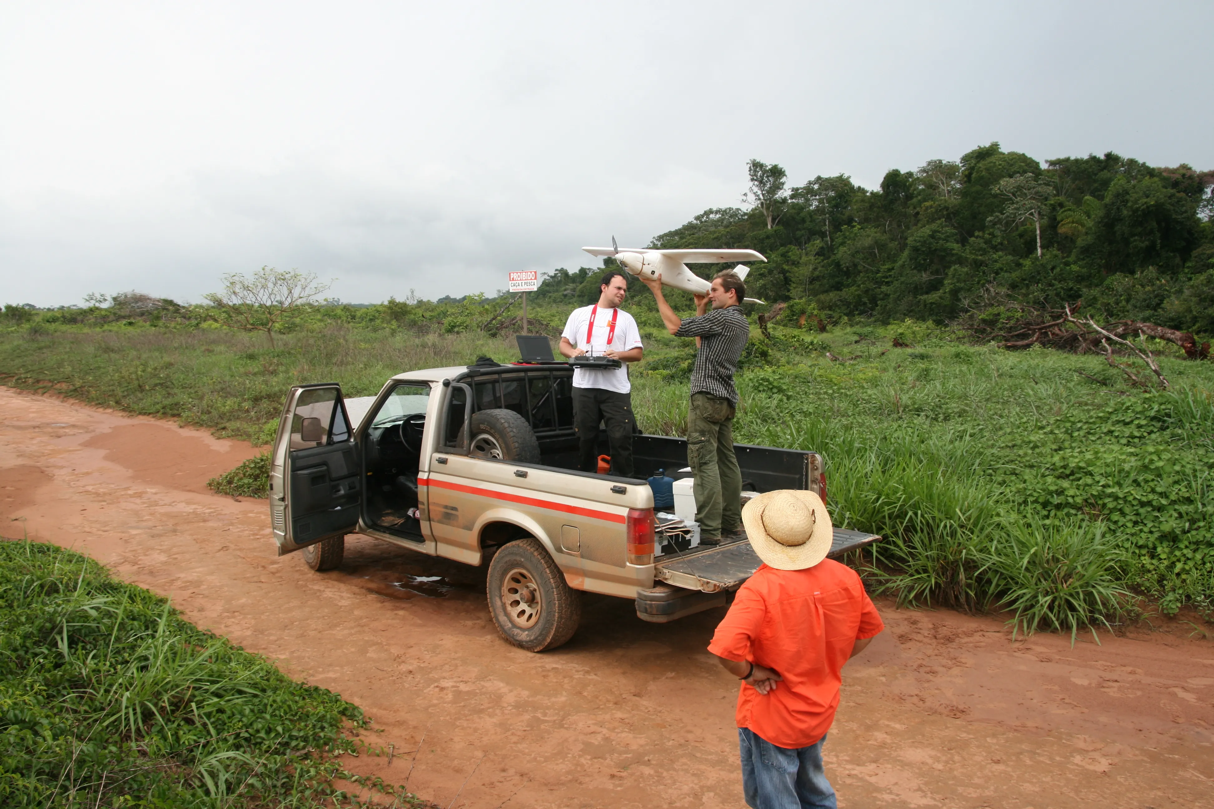
US-based engineering firm Michael Baker International has received certification from the Federal Aviation Administration to operate several types of fixed-wing and vertical take-off and landing unmanned aircraft systems.
The company said its UAS can capture robust, real-time aerial photographs and video as well as conduct aerial mapping for surveys or site inspections.
"Integrating our FAA-certified unmanned aircraft program with our other advanced data collection capabilities allows us to take data
US-based engineering firm Michael Baker International has received certification from the 2423 Federal Aviation Administration to operate several types of fixed-wing and vertical take-off and landing unmanned aircraft systems.
The company said its UAS can capture robust, real-time aerial photographs and video as well as conduct aerial mapping for surveys or site inspections.
"Integrating our FAA-certified unmanned aircraft program with our other advanced data collection capabilities allows us to take data collection to an entirely new level for our clients,” said Robert Hanson, senior vice president and the firm's Geospatial Practice leader.
"Our UAS capability builds upon the company's full continuum of innovative solutions that immediately enhance timeframes for planning and executing projects in surface transportation, utilities infrastructure, land development, pipelines and many other markets."
Vehicle operators can adjust still and video cameras on the aircraft to capture images at almost any angle. This enhances the quality of data captured from the same geographic location at different points in time.
According to the company, clients need fewer additional studies or surveys of a project because the UAS data provides a much fuller picture of a site or a building.