Surveying software

A new CAD-based package is available for surveying and job site information editing and plotting from Topcon Europe Positioning. Called SurveyMaster Lite, this software is a cost-efficient surveying office package suited to cadastral surveying and construction stakeout duties. The product has been developed from Topcon's SurveyMaster software program, SurveyMaster Lite and features survey specific
February 6, 2012 Read time: 1 min
A new CAD-based package is available for surveying and job site information editing and plotting from 342 Topcon Europe Positioning. Called SurveyMaster Lite, this software is a cost-efficient surveying office package suited to cadastral surveying and construction stakeout duties. The product has been developed from Topcon's SurveyMaster software program, SurveyMaster Lite and features survey specific functions as well as surface modelling and contouring tools. According to Topcon this new package offers tools required to produce survey calculations for property surveys, topographic maps and ALTA surveys. The package is designed so users can manage data from raw format all the way through to a finished plot. Survey calculations can be completed and uploaded to the field collector for stakeout and field verification. Its features include a field-to-finish solution with automatic line connectivity, synchronisation with TopSURV & Pocket 3D, uncomplicated plotting, an interactive raw data editor, customisable data entry/editors, traverse adjustments and contouring and surface file editing.

For more information on companies in this article

Related Content

  • Wirtgen now offers a sophisticated 3D paver control system
    January 30, 2013
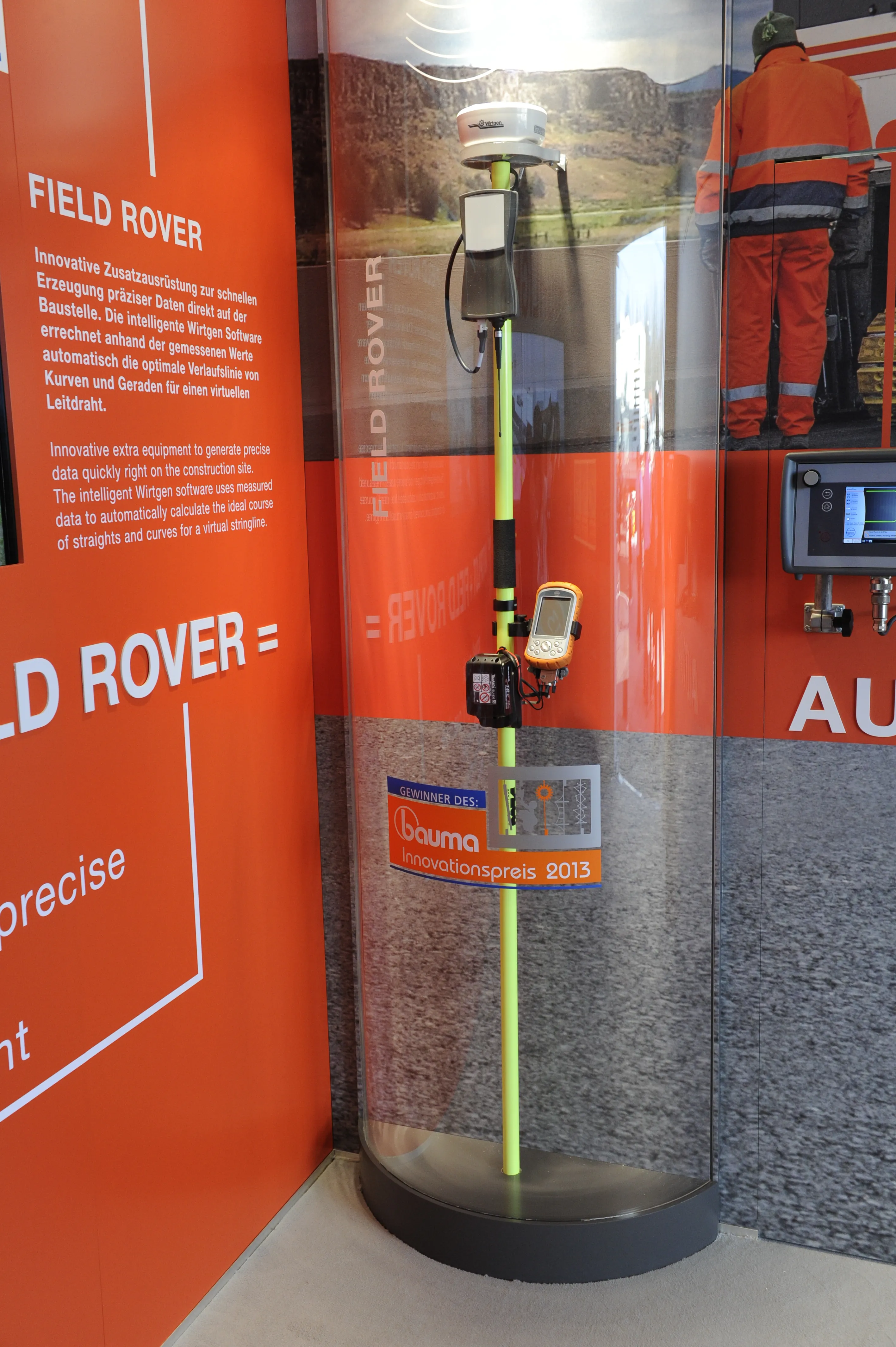
    Wirtgen is introducing its latest AutoPilot Field Rover system which allows fully automatic, stringline-free concrete paving and allows jobs to be carried out more easily, quickly and economically. The system is more efficient than using conventional stringlines and is faster also and its 3D control system comprises a computer integrated into the machine and a control panel. Two GPS receivers mounted on the machine communicate with a GPS reference station on the job site. A digital terrain model is not requ
  • Keysoft Solutions buys LANDCADD rights from Eagle Point
    August 17, 2015
    Landscape and traffic software developer Keysoft Solutions has acquired the rights to LANDCADD software from US-based Eagle Point Software. Jeremy Ellis, managing director of Keysoft Solutions, said both the KeySCAPE and LANDCADD suite of landscape and civil design software will continue as separate products for time being. During a three-month plan, LANDCADD customers will continue to receive technical support from Eagle Point, while Keysoft Solutions builds up a sales and support team in Boston.
  • Compaction review: cutting edge updates
    June 21, 2024
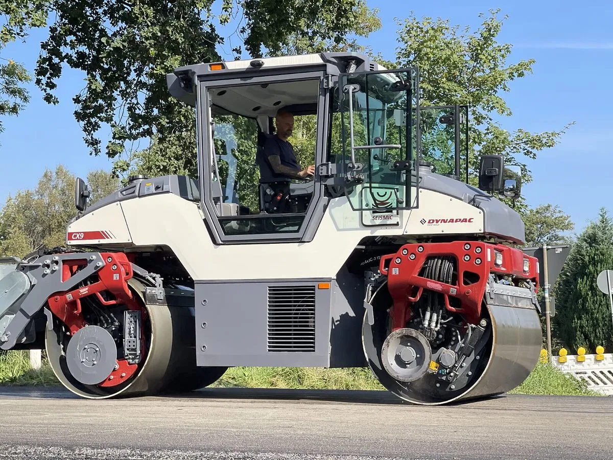
    An array of innovative asphalt compaction machines are now coming to market from several of the major manufacturers.
  • Construction collaboration with Trimble
    August 3, 2020
    Trimble is introducing a new version of its Quadri cloud-based BIM server and collaboration platform. The firm says that this solution offers an innovative common data environment platform for infrastructure projects to the European market.