Surveying software

A new CAD-based package is available for surveying and job site information editing and plotting from Topcon Europe Positioning. Called SurveyMaster Lite, this software is a cost-efficient surveying office package suited to cadastral surveying and construction stakeout duties. The product has been developed from Topcon's SurveyMaster software program, SurveyMaster Lite and features survey specific
February 6, 2012 Read time: 1 min
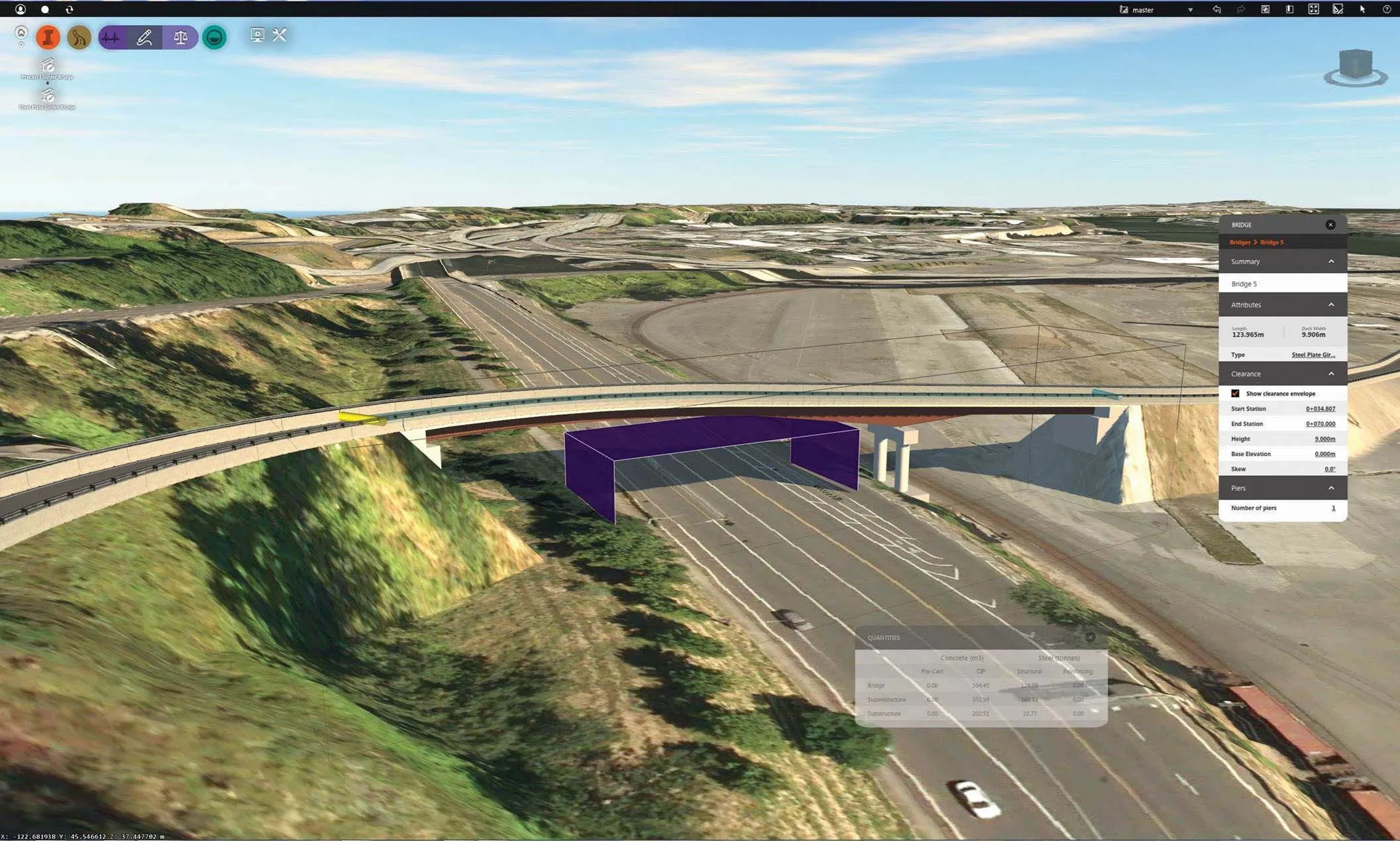
A new CAD-based package is available for surveying and job site information editing and plotting from 342 Topcon Europe Positioning. Called SurveyMaster Lite, this software is a cost-efficient surveying office package suited to cadastral surveying and construction stakeout duties. The product has been developed from Topcon's SurveyMaster software program, SurveyMaster Lite and features survey specific functions as well as surface modelling and contouring tools. According to Topcon this new package offers tools required to produce survey calculations for property surveys, topographic maps and ALTA surveys. The package is designed so users can manage data from raw format all the way through to a finished plot. Survey calculations can be completed and uploaded to the field collector for stakeout and field verification. Its features include a field-to-finish solution with automatic line connectivity, synchronisation with TopSURV & Pocket 3D, uncomplicated plotting, an interactive raw data editor, customisable data entry/editors, traverse adjustments and contouring and surface file editing.

For more information on companies in this article

Related Content

  • 3D Repo develop virtual reality safety app for Balfour Beatty
    April 18, 2017
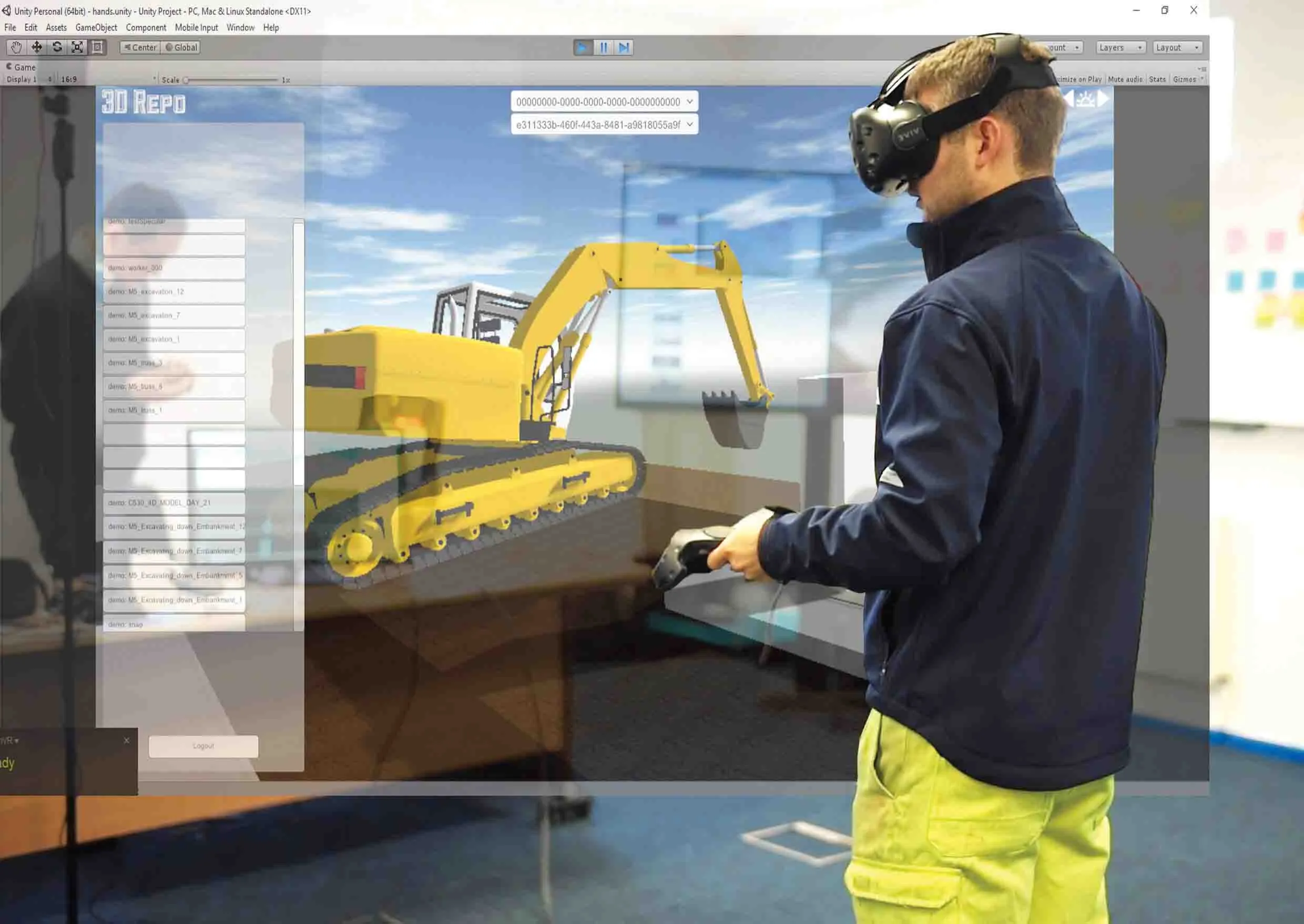
    3D Repo is working with contractors Balfour Beatty and Vinci and the UK roads agency Highways England to deploy a virtual reality simulation program for safety training. 3D Repo, a spin-off from University College London, develops open-source software for building information modelling in the cloud. More than 40 different 3D file formats are decomposed and federated in the company’s big data repository.
  • Volz makes headway in Hesse
    November 22, 2018
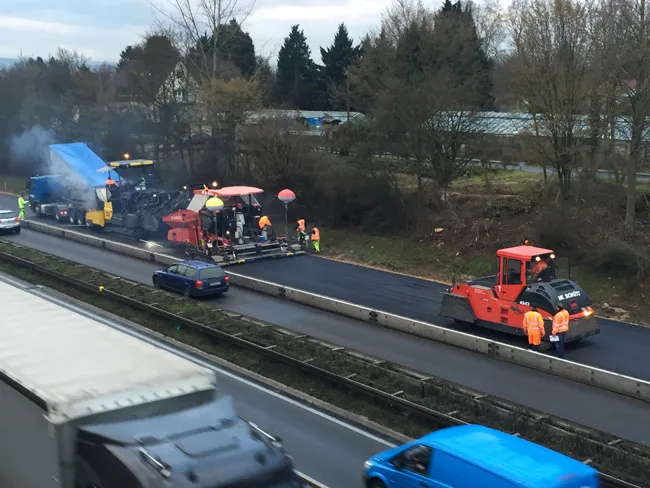
    A road contractor in Germany is making use of a sophisticated logistics tool to run its operations more efficiently. The contractor, Wilhelm Schütz, is a medium-sized company with a long history in road construction and civil engineering. Based in Hesse, the firm has its own mixing plant to supply material to its road construction crews.
  • Construction software giant Autodesk continues to acquire new capabilities and products
    May 16, 2014
    Even before its annual spring upgrade announcements, covering all the major software from AutoCAD to Civil 3D, the giant Autodesk has been releasing a stream of changes. Some of these cover recent acquisitions such as the French Graitec software for detailing and design of concrete and steel structures, now through its legal processes, and the Bestech acquisition. In both cases the software is re-released under an Autodesk brand to ensure continuity for users "and with a price reduction," said Autodesk c
  • Telematics agreement for construction machines
    December 8, 2015
    Major progress has been made with regard to construction machine manufacturers agreeing on a standard for telematics communications. This is of key importance to contractors running mixed fleets, as data transfer from equipment will now be much easier. This progress has come with a new construction equipment telematics standard from the Association of Equipment Manufacturers (AEM) and Association of Equipment Management Professionals (AEMP). This has added key features to allow data gathering, and a test da