Surveying accurately

Spectra Precision says that its EPOCH 35 system benefits from the latest GPS and GLONASS technology to provide accurate cadastral, topographic, control and stakeout survey applications. Said to be reliable and cost-effective, the EPOCH 35 GNSS system includes a base, rover, field software, data collector, and radio. The rover features integrated Bluetooth capability, an internal radio modem and battery. For North America, the system operates with the proven TDS Survey Pro field software while for other mark
July 18, 2012 Read time: 1 min
Riegl's sophisticated V-Line range includes interfaces for GPS, networking and mobile operation together with high precision time stamping
2373 Spectra Precision says that its EPOCH 35 system benefits from the latest GPS and GLONASS technology to provide accurate cadastral, topographic, control and stakeout survey applications. Said to be reliable and cost-effective, the EPOCH 35 GNSS system includes a base, rover, field software, data collector, and radio. The rover features integrated Bluetooth capability, an internal radio modem and battery. For North America, the system operates with the proven TDS Survey Pro field software while for other markets, the system runs the Spectra Precision Field Surveyor package. For RTK surveying, the base system can include a choice of radio modems with either a long or short range data link from the base to the rover. In addition, Network RTK is also supported by simply connecting to an external data-capable cellular modem. Back at the office, surveyors can use the Spectra Precision Office Software for post-processing and quality control.

For more information on companies in this article

Related Content

  • Monitoring software update from Trimble
    November 15, 2019
    Trimble is offering an updated version of its real-time monitoring software, the 4D Control package. This Version 5.0 upgrade offers new features that allow users to streamline real-time structural monitoring system deployment as well as simplify the connection to geotechnical sensors. Trimble 4D Control software allows project stakeholders to monitor critical infrastructure such as dams and bridges along with buildings surrounding construction sites and tunnels.
  • Yotta develops new tools for sophisticated GIS package
    April 25, 2013
    Highway technology and services company Yotta DCL has announced new features for Horizons. The web-based platform integrates GIS, pavement and asset management for highways authorities and agencies to use in a visualised asset management system. The new version 2.3 adds features and functionality across three modules: Explorer, Analysis and Management. Explorer allows users to view, load and visualise a range of datasets, including base network data, their condition in fine detail, plus relevant asset or co
  • Real time site monitoring technology
    July 19, 2012
    Leica Geosystems is broadening its site monitoring technology with the introduction of the GeoMoS package. This can be linked to the firm's existing GNSS Spider software to offer an array of TPS and GNSS monitoring tools. Combined, these tools provide a web-based service for visualisation and analysis of monitoring. Authorised users can access a monitoring project using a web browser, pocket PC or mobile phone. Using the GeoMoS Web service, graphs and views can be customised and be tailored to the needs of
  • High performance from Topcon’s HiPer XR
    April 11, 2025

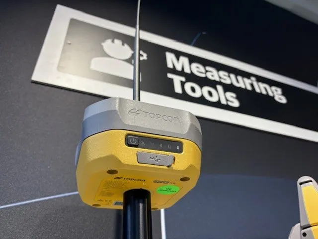
    The HiPer XR, from Topcon Positioning Systems, is a robust high-precision GNSS receiver for surveying, construction and geospatial work. It delivers precision and efficiency, tackling all challenges with RTK accuracy and Dynamic TILT Compensation technology for effortless measurements, even in difficult conditions.

    Its anti-jamming capabilities ensure reliable performance, while the lightweight, rugged design withstands harsh environments. The HiPer XR is about versatile connectivity with long battery life at an affordable price.