It’s a level playing field with Leica’s iCON gps 70 Series

Efficiency is the name of the game from the iCON gps 70 Series, a GNSS rover from Leica Geosystems. With the iCON gps 70 T you can measure and stakeout points faster and without the need to keep the pole vertical and level the bubble. The combination of the latest GNSS technology and inertial measurement unit (IMU) equips the iCON gps 70 T with permanent tilt compensation and makes it resistant to any magnetic interference. Because the iCON gps 70 T is calibration-free, it can be ready instantly and any
April 27, 2018 Read time: 2 mins
Leica’s iCON gps 70: no need to keep the pole vertical and level the bubble

Efficiency is the name of the game from the iCON gps 70 Series, a GNSS rover from Leica Geosystems.

With the iCON gps 70 T you can measure and stakeout points faster and without the need to keep the pole vertical and level the bubble.

The combination of the latest GNSS technology and inertial measurement unit (IMU) equips the iCON gps 70 T with permanent tilt compensation and makes it resistant to any magnetic interference.

Because the iCON gps 70 T is calibration-free, it can be ready instantly and anywhere that it is needed.

The on-site operator can collect as-built field data and stake out designs faster while increasing accuracy and reduced errors. This also allows the operative to focus more on his or her safety in a hazardous environment.

The iCON gps 70 series is seamlessly integrated into the Leica iCON field software. By keeping the core central interface, following the unrivalled Leica iCON concept, the onsite operative can benefit from the simple-to-use workflows which require less training and avoid costly downtime.

The GNNSS technology allows 555 channels for more signals, faster acquisition
and improved sensitivity.

To ensure accuracy and continued use, the unit is IP66 / IP68 protected. It is also built for extreme temperatures of -40°C to +65°C.

Related Content

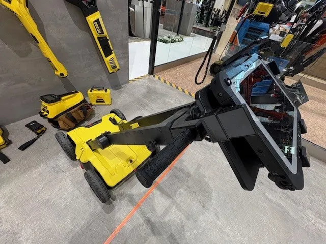
  • Know what lies below with Leica’s DSX 3D utility detection system
    April 11, 2025

    Emergency road repair work needn’t create yet another emergency by hitting unknow utility pipes and other systems.  

    Leica Geosystems says its DSX utility detection solution can quickly be walked over the area where work is about to start and immediately show an excavator operator any dangers that lie below.

    It locates, visualises and map utilities. Unlike any other ground penetrating radar system, the Leica DSX maximises productivity with cutting-edge software that automates data analysis and creates a 3D utility map of the field.

  • Free modeling: Improving efficiency in construction- site management
    July 24, 2025
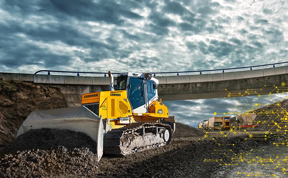
    Liebherr’s innovative Free Modeling technology enables road-construction operators to create and modify simple 3D site models directly from their machinery, enhancing real-time decision-making.
  • Customer Comes Full Circle with Komatsu iMC 2.0
    April 4, 2022
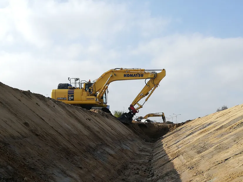
    In 2017, the Budorealizacja company from Myślenice, Poland started using the first ever Komatsu intelligent Machine Control (iMC) excavator to be delivered in the country. Over four years on, the company now owns 10 Komatsu iMC machines across both excavators and dozers, and significantly, its fleet was further expanded when they recently became the first Polish customer to take delivery of an iMC 2.0 version of the PC210LCi-11
  • Topcon introduces sophisticated GIS technology
    November 20, 2014
    Topcon Positioning Group is broadening its range of GIS solutions with the introduction of the new FC-500 data controller and MAGNET Relay package. The FC-500 unit features a large, bright sunlight-readable display and is compatible with either the Topcon eGIS or MAGNET Field GIS software.