Topcon introduces sophisticated GIS technology

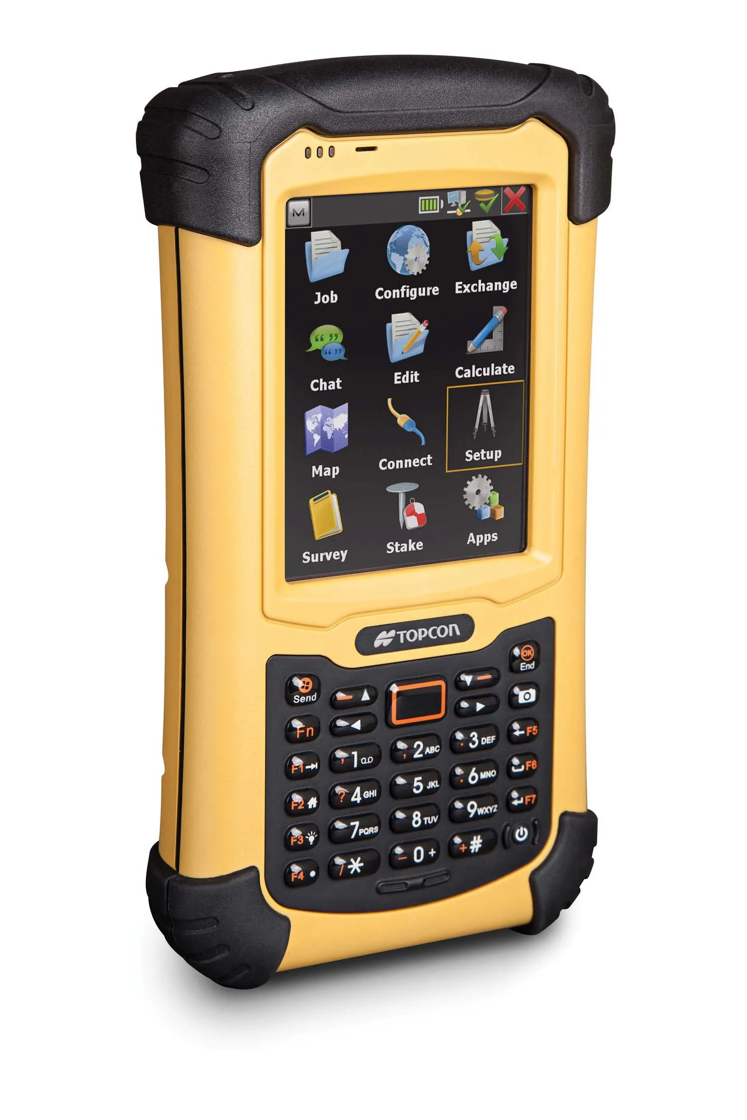
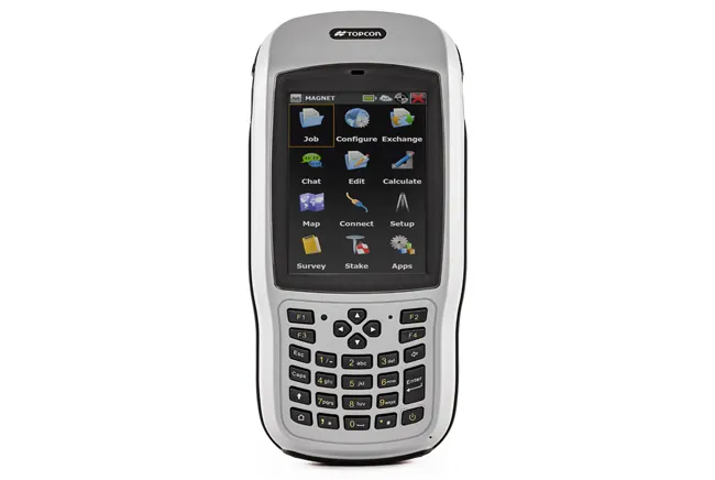
Topcon Positioning Group is broadening its range of GIS solutions with the introduction of the new FC-500 data controller and MAGNET Relay package. The FC-500 unit features a large, bright sunlight-readable display and is compatible with either the Topcon eGIS or MAGNET Field GIS software.
November 20, 2014 Read time: 2 mins
RSS

342 Topcon Positioning Group is broadening its range of GIS solutions with the introduction of the new FC-500 data controller and MAGNET Relay package. The FC-500 unit features a large, bright sunlight-readable display and is compatible with either the Topcon eGIS or MAGNET Field GIS software.

 The FC-500 is designed to deliver speedy dataflow between the field and office and has built-in wireless Bluetooth and WiFi connectivity, and an optional 3.5G cellular modem. This allows communications in the field, to the office, and additionally to the cloud when used with MAGNET Enterprise.

The firm says the package increases productivity as information can be stored and accessed immediately in the cloud, speeding data transfer and retrieval. Additional features of the FC-500 include a 1GHz processor and 8GB flash storage. When used with MAGNET Field, users can imprint file information, including GPS location, directly on photos that are taken with the internal 5MP camera.

The FC-500 can also be used as a stand-alone device for 2-5m accuracy or as part of a complete high-accuracy GIS solution. Meanwhile the MAGNET Relay is a mobile base station RTK (Real Time Kinematic) broadcasting service. The system is designed to allow subscribers to connect a GNSS base receiver to MAGNET Relay via a cellular connection for high-accuracy RTK corrections. The RTK base station can be used by up to 10 rovers according to the firm, making MAGNET Relay a useful solution for large scale and highly precise GIS projects.

For more information on companies in this article

Related Content

  • Topcon unveils FC-336 date controller
    March 27, 2014
    Topcon has unveiled its new FC-336 data controller designed specifically for the construction industry. In addition to providing field crews with access to MAGNET Enterprise to send and receive data files, the new controller operates with Topcon MAGNET Field, Site and Layout software, as well as Topcon Pocket 3D. A compact and lightweight handheld controller, the FC-336 works with all Topcon GNSS receivers and total stations.
  • Sophisticated geopositioning tool from Topcon
    October 9, 2018
    Topcon says that its new T-18 handheld controller offers accuracy for geopositioning, construction, mapping and vertical construction applications. The controller includes a sunlight-readable display with a 1GHz processor, 1GB of internal storage, and up to 10 hours of battery life. “For MAGNET Field data collection, the T-18 controller offers a durable ergonomic solution with faster processing, a larger screen, better connectivity and longer battery life than previously available comparable systems,” said
  • Topcon’s new survey solution
    October 27, 2016
    Topcon Positioning Group’s new surveying suite features four integrated solutions, comprising three hardware products and a single software system. The firm says that this package provides users with a powerful survey system. The Topcon Elite Survey Suite includes the new GT series of robotic total stations, HiPer HR hybrid GNSS receiver, FC-5000 field computer and MAGNET 4.0 software system. According to Topcon, users can benefit from advanced geo-positioning products and technology in one system.
  • Latest GIS and software tools improve operations
    February 24, 2012
    Innovative GIS and software solutions are coming to market from the three key market players - Mike Woof reports Competition is strong in the field for GIS and surveying systems as well as the associated software. The three major players in the sector, Leica Geosystems, Topcon and Trimble, all invest heavily in research and development and continue to roll out new solutions for construction customers that will boost the efficiency of surveying as well as overall project implementation.