Faster surveying with Leica Geosystems

Leica Geosystems says that the new LS15 tool can be used to complete all the key stages for levelling. The system has a high accuracy of 0.2mm, which can be achieved by aiming at the target via the colour touch display and pressing the measuring button. Key working features include an electronic bubble and tilt checks prior to each measurement and autofocus. These are said to help to reduce fatigue over a shift and help minimise the risk of working errors, ensuring consistently high accuracy of measureme
June 16, 2016 Read time: 2 mins
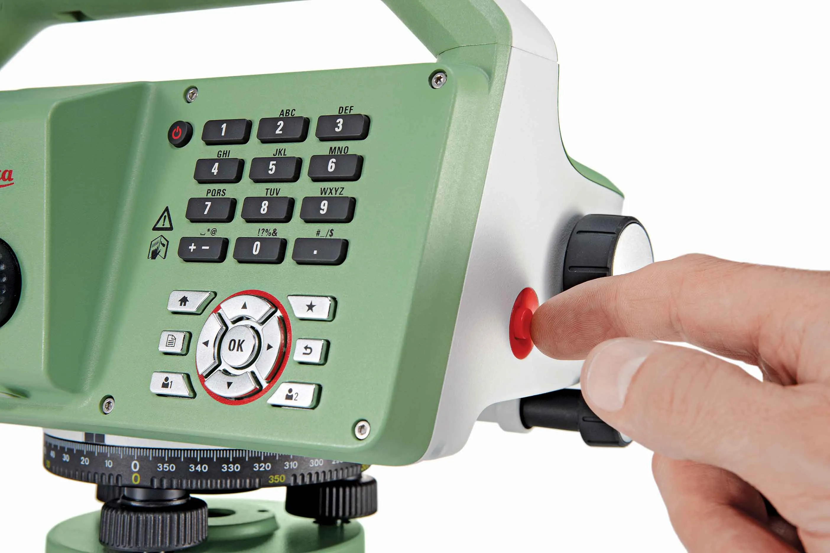
The new tool from Leica Geosystems helps boost surveying efficiency
265 Leica Geosystems says that the new LS15 tool can be used to complete all the key stages for levelling. The system has a high accuracy of 0.2mm, which can be achieved by aiming at the target via the colour touch display and pressing the measuring button.

Key working features include an electronic bubble and tilt checks prior to each measurement and autofocus. These are said to help to reduce fatigue over a shift and help minimise the risk of working errors, ensuring consistently high accuracy of measurement.

The firm says that the LS15 is the only level on the market equipped with a camera and this allows target staffs to be sighted faster. Users locate the staff on the camera touch display and then press the measuring button to record the staff reading and measurement values.

The unit’s USB and Bluetooth interface allow enable fast data transfer, while the Leica Infinity software package can process complex levelling data in the office. Users can combine tables with graphics or cross check key project information in one program window, providing access to all data, results and deliverables.

For more information on companies in this article

Related Content

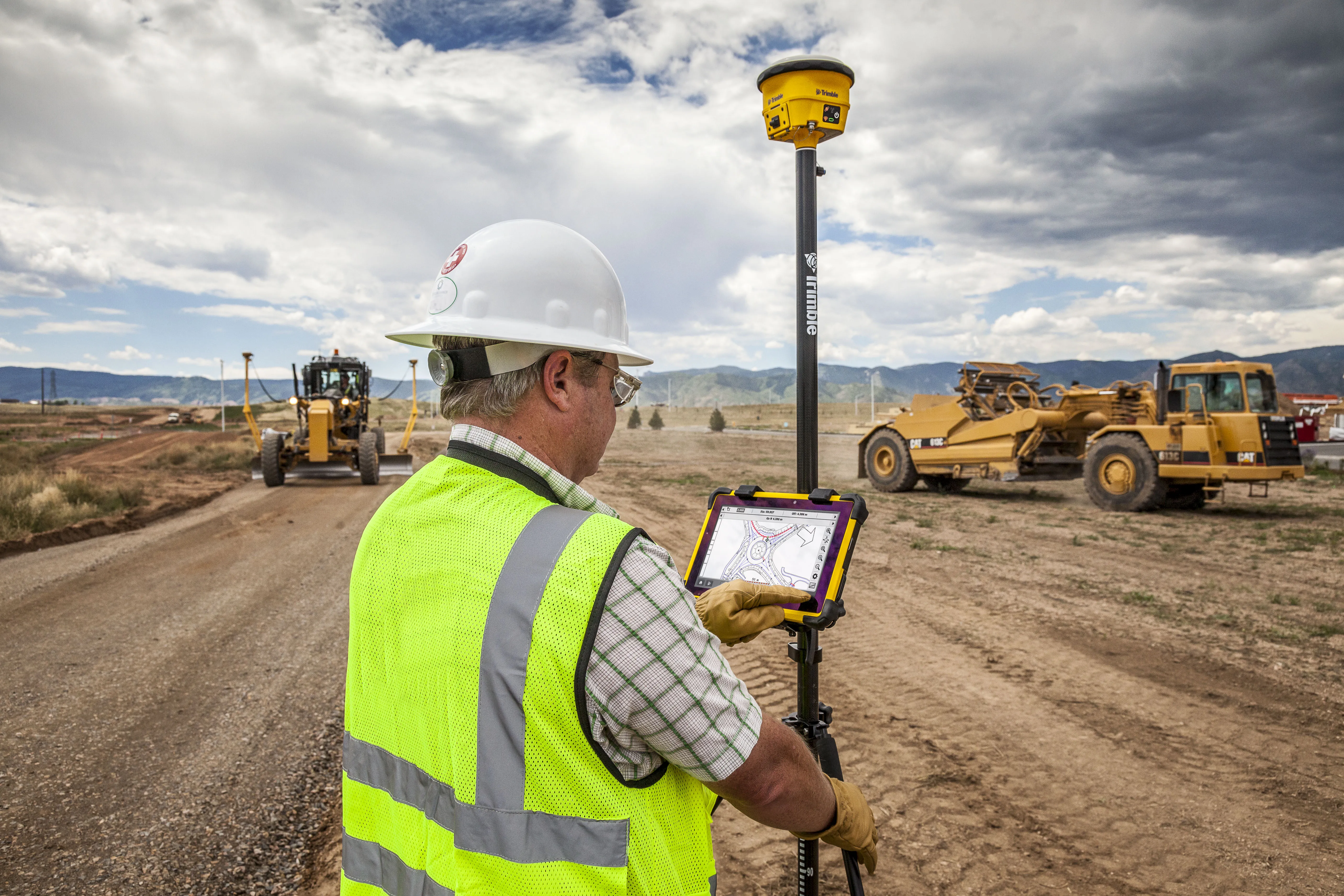
  • Trimble’s tablet offers data processing on-site
    March 12, 2018
    Trimble has developed its T10 Tablet, which the firm claims is a rugged and high-performance data processing platform for use onsite. The unit offers fast computing power and a large screen and is now available through the SITECH dealer channel for use in civil engineering and construction applications. Its key features include a military-grade ruggedness to cope with tough construction site conditions, a sunlight readable display for reading text, graphics and complex maps under field conditions and a
  • Road milling advances from key players
    January 30, 2020
    Major manufacturers have introduced key innovations in milling, recycling and stabilisation
  • Topcon introduces sophisticated GIS technology
    November 20, 2014
    Topcon Positioning Group is broadening its range of GIS solutions with the introduction of the new FC-500 data controller and MAGNET Relay package. The FC-500 unit features a large, bright sunlight-readable display and is compatible with either the Topcon eGIS or MAGNET Field GIS software.
  • Technology makes materials testing quicker and easier
    February 14, 2012
    Sophisticated technology is now being used to make the testing of a wide variety of materials quicker and easier as Patrick Smith reports. Ever since the CE mark became mandatory for asphalt mixes, it also became necessary and important to update the testing equipment and systems used for testing such materials.