Get the real picture with Image Logger

RoadBotics has placed time-stamped geo-spatial images on GIS-enabled maps.
By David Arminas July 31, 2020 Read time: 2 mins
Image Logger, the first product in the company’s cloud-based RoadWay Operating System online platform

RoadBotics is announcing the addition of Image Logger to its growing suite of products to help communities digitise assets such as roads, sidewalks and trails.

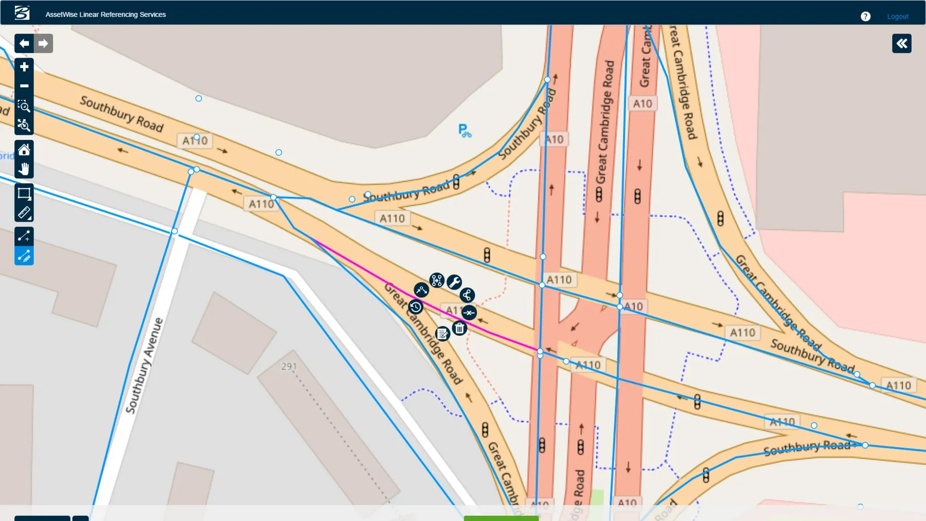
The company, based in Pittsburgh in the US state of Pennsylvania, said the technology places time-stamped geo-spatial image data on a GIS-enabled map. The result allows local authorities to view all public assets on one platform - from a desk or out in the field.

“The Image Logger is a great addition to our existing products and tools for road and infrastructure management,” said Matt Lucas, head of product at Roadbotics. “It helps our clients to better administer their assets while saving valuable resources.”

RoadBotics - known for automated pavement assessments using a smartphone for data collection –users can collect data on roads and adjacent assets such as signage and public right of ways including sidewalks, bike trails and walking paths. Whether collected monthly, seasonally or before and after maintenance projects, up-to-date data is invaluable for asset management.

The Image Logger  was released in early June as the first product for the company’s new RoadWay Operating System, a cloud-based online platform. RoadWay OS helps governments manage and administer their public infrastructure asset data in one central location. “Image Logger accomplishes that objective by the ease of use and breadth of data available,” said Benjamin Schmidt, president and co-founder of RoadBotics.

Roadway OS is also available to outside consultants and professionals who help governments maintain infrastructure, whether this is managing tactical day-to-day operations or enhancing strategic planning.

Related Content

  • InspectTech is right on time
    February 6, 2017
    All 15 US states using Bentley’s AssetWise InspectTech software achieved reporting compliance with annual Federal Highway Administration’s MAP-21 National Bridge Inventory and National Bridge Element schemes. Taylor Gilmore, product manager for AssetWise InspectTech, said the software was used to inspect over 175,000 bridges for their clients’ 2016 Federal Highway NBI and NBE data reports. Faced with ageing bridge infrastructure nationwide, FHWA’s MAP-21 performance-based programme is designed to maximis
  • AssetWise Completes Bentley’s CONNECT Edition
    November 15, 2016
    Connected Data Environment Spans both Comprehensive Project Delivery and Comprehensive Asset Performance: TOTEX! LONDON – The Year in Infrastructure 2016 Conference – 1 November 2016 – Bentley Systems, Incorporated, a leading global provider of software solutions for advancing infrastructure, today announced AssetWise CONNECT Edition.
  • Nuphalt is well-prepared to meet the growing challenge for road repairs
    November 21, 2023

    2023 is proving to be a great year for the Nuphalt Group. Beginning in January with a move into their brand-new, purpose-built facility in Rugby, UK, utilising new mezzanine floors (increased manufacturing space by 50%), adding state-of-the-art laser cutting equipment and, of course, bringing everything under one roof. And with 100 kW of PV solar power up there, that’s no ordinary roof! The move to a more self-sufficient premises is all part of Nuphalt’s vision for a greener future.

  • Geveko Markings: committed to safety
    February 28, 2025
    Achieving Europe’s Vision Zero - eliminating road fatalities - requires a united effort from everyone in the road marking sector, both public and private. Collaboration and innovation are key to creating safer, more sustainable, and more efficient roads, from highways to bike lanes. Global company Geveko Markings is dedicated to this mission and shares its commitment to Vision Zero and beyond.*