Get the real picture with Image Logger

RoadBotics has placed time-stamped geo-spatial images on GIS-enabled maps.
By David Arminas July 31, 2020 Read time: 2 mins
Image Logger, the first product in the company’s cloud-based RoadWay Operating System online platform

RoadBotics is announcing the addition of Image Logger to its growing suite of products to help communities digitise assets such as roads, sidewalks and trails.

The company, based in Pittsburgh in the US state of Pennsylvania, said the technology places time-stamped geo-spatial image data on a GIS-enabled map. The result allows local authorities to view all public assets on one platform - from a desk or out in the field.

“The Image Logger is a great addition to our existing products and tools for road and infrastructure management,” said Matt Lucas, head of product at Roadbotics. “It helps our clients to better administer their assets while saving valuable resources.”

RoadBotics - known for automated pavement assessments using a smartphone for data collection –users can collect data on roads and adjacent assets such as signage and public right of ways including sidewalks, bike trails and walking paths. Whether collected monthly, seasonally or before and after maintenance projects, up-to-date data is invaluable for asset management.

The Image Logger  was released in early June as the first product for the company’s new RoadWay Operating System, a cloud-based online platform. RoadWay OS helps governments manage and administer their public infrastructure asset data in one central location. “Image Logger accomplishes that objective by the ease of use and breadth of data available,” said Benjamin Schmidt, president and co-founder of RoadBotics.

Roadway OS is also available to outside consultants and professionals who help governments maintain infrastructure, whether this is managing tactical day-to-day operations or enhancing strategic planning.

Related Content

  • Accurate asphalt compaction
    July 21, 2022
    The latest compaction package from Trimble helps to deliver a quality surface more quickly and efficiently. According to the firm, the system allows operators to accurately control the compaction process, while reducing unnecessary passes that can result in over compaction.
  • Highway 407 Revisited – smart tollroad extension
    June 7, 2016
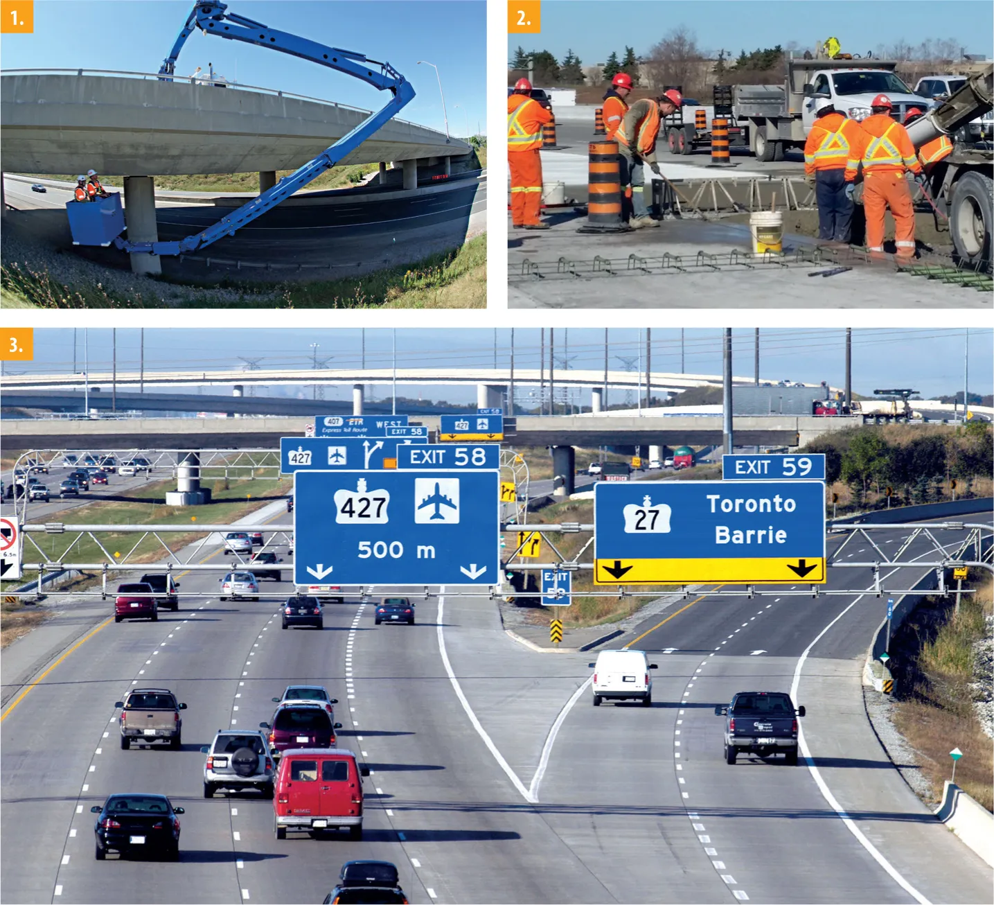
    In the late 1990s, World Highways published a supplement on construction of Canada’s Highway 407, the world’s first all-electronic toll road. But how successful has it been? David Arminas reports from Toronto The head office for 407 ETR Concession Company is a low-rise building next to exit 59, just north of Toronto, Canada’s economic powerhouse. The building may be non-descript but inside is the advanced technical heart of Highway 407 ETR – Express Toll Route. It houses the latest toll monitoring techno
  • Graphene-enhanced pavements join UK Live Labs programme
    September 1, 2020
    While some parts of the world are on pause, road construction and new technology trials are still underway, as these stories demonstrate - Kristina Smith reports
  • It's all about profit, people and the planet
    February 18, 2025
    Sit in on our latest roundtable discussion on sustainability in the construction and aggregates industries, brought to you by Global Highways and Aggregates Business. AB editor Guy Woodford has been talking to two world-class experts: Jeremy Harsin from Cummins and Michael Gomes from Topcon. Make your planning, your workflows, your contract tenders, and your sites as sustainable as possible. “Sustainability is really about profit, people and the planet,” say our experts. “Being able to drive that is the work that matters.”