Get the real picture with Image Logger

RoadBotics has placed time-stamped geo-spatial images on GIS-enabled maps.
By David Arminas July 31, 2020 Read time: 2 mins
Image Logger, the first product in the company’s cloud-based RoadWay Operating System online platform

RoadBotics is announcing the addition of Image Logger to its growing suite of products to help communities digitise assets such as roads, sidewalks and trails.

The company, based in Pittsburgh in the US state of Pennsylvania, said the technology places time-stamped geo-spatial image data on a GIS-enabled map. The result allows local authorities to view all public assets on one platform - from a desk or out in the field.

“The Image Logger is a great addition to our existing products and tools for road and infrastructure management,” said Matt Lucas, head of product at Roadbotics. “It helps our clients to better administer their assets while saving valuable resources.”

RoadBotics - known for automated pavement assessments using a smartphone for data collection –users can collect data on roads and adjacent assets such as signage and public right of ways including sidewalks, bike trails and walking paths. Whether collected monthly, seasonally or before and after maintenance projects, up-to-date data is invaluable for asset management.

The Image Logger  was released in early June as the first product for the company’s new RoadWay Operating System, a cloud-based online platform. RoadWay OS helps governments manage and administer their public infrastructure asset data in one central location. “Image Logger accomplishes that objective by the ease of use and breadth of data available,” said Benjamin Schmidt, president and co-founder of RoadBotics.

Roadway OS is also available to outside consultants and professionals who help governments maintain infrastructure, whether this is managing tactical day-to-day operations or enhancing strategic planning.

Related Content

  • HxGN Live 2014: Leica CEO highlights IT-led road construction and mining gains
    June 4, 2014
    Leica Geosystems’ CEO and president Jürgen Dold has highlighted to HxGN 2014 Live delegates how dynamic geospatial systems are creating more effective and safer workflows on road construction sites and in mining.
  • McBains Cooper wins PPP consultancy contract in Medellin, Colombia
    May 18, 2016
    Construction consultants McBains Cooper has won a contract to help improve public-private partnership skill for the Colombian city of Medellin. McBains will train Medellin PPP Agency to help implement PPP procured projects in the city, Colombia’s second largest. Apart from road works that will include a new urban highway, projects will be across the transportation sector as well as in education such as school construction. Santiago Klein, international director at McBains Cooper, said the objective of
  • Road Markings to reduce fatal wrong-way driving
    October 31, 2012
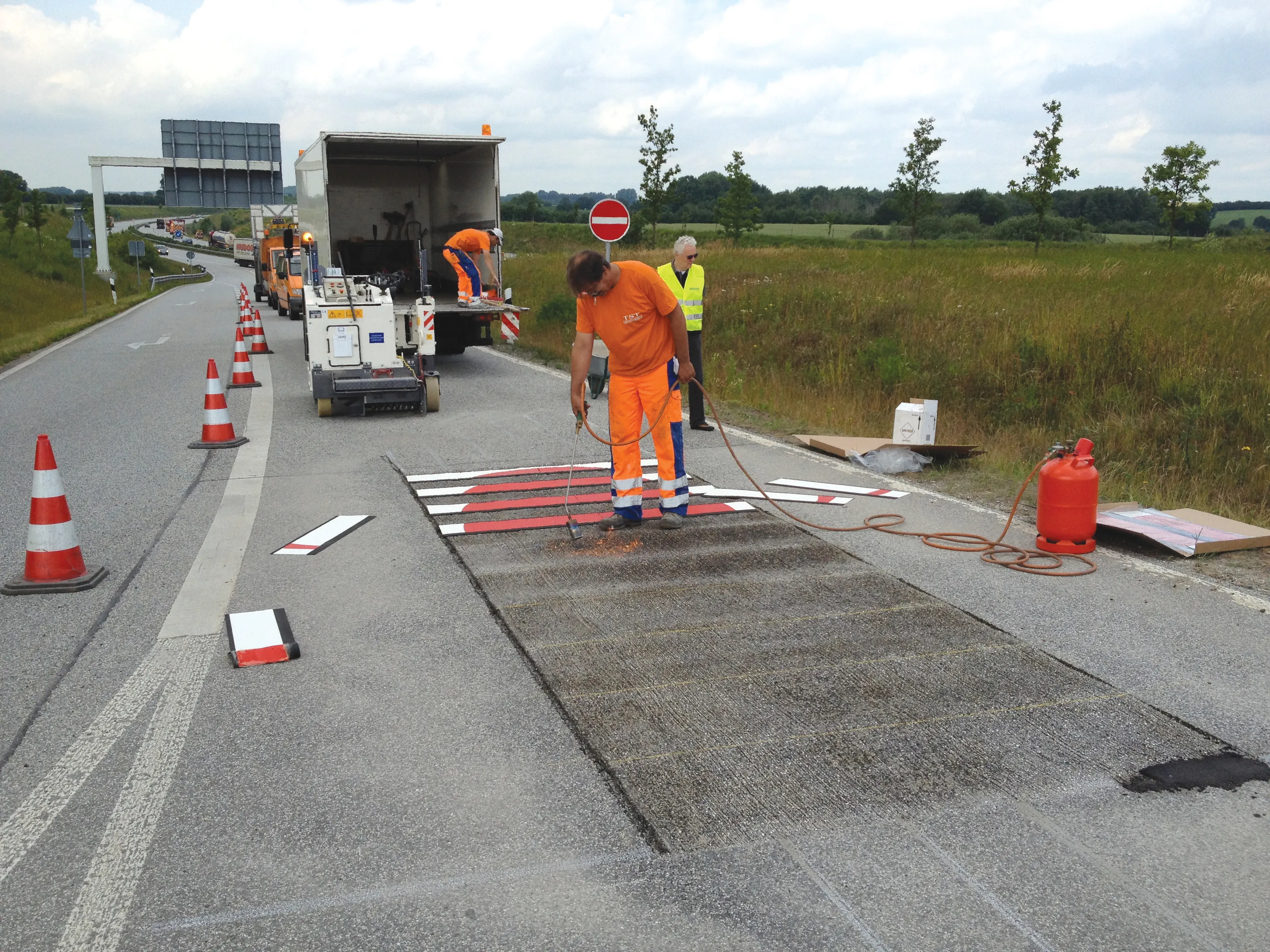
    The latest road marking systems have been used to reduce potentially fatal wrong-way driving and promote the recent EURO 2012 football tournament in Poland and Ukraine. Guy Woodford reports According to statistics quoted by leading road marking firm Geveko, a total of 1,753 people were killed in the United States in wrong-way driving accidents from1996-2000. Wrong-way driving is also a significant issue across Europe and other parts of the world. Work to combat the potentially lethal activity took place re
  • IRF World Congress 2024: Christian U. Haas of Umovity interview ahead of the Congress
    October 1, 2024
    With its combination of software, hardware and services, Umovity accelerates end-to-end traffic planning and management globally. Christian U. Haas, chief executive of Umovity, recently spoke to the IRF ahead of the IRF World Congress to be held this month in Istanbul, on the challenges and opportunities facing the mobility sector.