Northscan and Bridgology form Nordic alliance

The two companies will together offer their road and bridge scanning and data analysis services in Sweden, Finland and Norway.
By David Arminas April 29, 2024 Read time: 2 mins
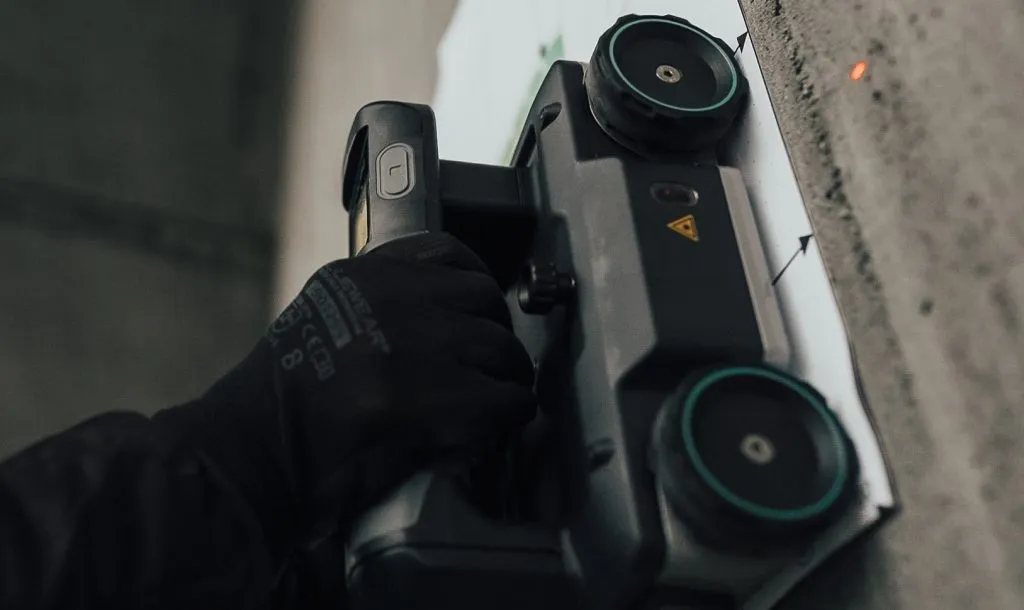
Northscan, based in Stockholm and Gothenburg, focuses on non-destructive concrete testing using ground-penetrating radar, ultrasonic pulse velocity and magnetic induction (image courtesy Northscan)

Northscan and Bridgology Sweden say they have formed an “alliance” to offer more accurate non-destructive scanning solutions for bridge inspections and renovations.

Together they will work to provide new opportunities for customers in the Nordic countries of Sweden, Finland and Norway with their expanded analysis process.

Bridgology Sweden’s parent company Bridgology, based in Épalinges, Switzerland, develops software for the analysis and presentation of ground penetrating radar (GPR) data for concrete repair planning and more accurate cost estimates. Particularly prominent is the software for analysis of data from concrete scanning of roadways on road bridges, where it can present data in the form of detailed, graphic and self-explanatory maps adapted for each specific bridge.

Meanwhile, Northscan, based in Stockholm and Gothenburg, focuses on non-destructive concrete testing using three types of scanning techniques – GPR, UPV (ultrasonic pulse velocity) and magnetic induction (Eddy current technology).

The Swedish Transport Administration alone is responsible for the management of approximately 17,000 bridges in Sweden, with annual operating and maintenance costs exceeding €861.4 million. The companies said that in order to meet this challenge and streamline the use of resources, careful investigation and preparation, repair efforts on bridge decks can be calculated in detail. This will  create the conditions for significant cost savings and better planned repair efforts.

"This partnership truly marks a new era for bridge renovation in the Nordics,” said Jamshid Lodhi, chief marketing officer at Northscan. “By combining our expertise with Bridgology's advanced technology and analysis process, we will be able to offer cutting-edge solutions that benefit both society and the infrastructure sector."

For more information on companies in this article

Related Content

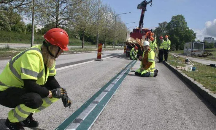
  • Almi Invest Greentech invests in Elonroad
    May 20, 2021
    Other investors in Swedish electric road developer Elonroad include transport and logistics company Bring and EU venture capital fund EIT Urban Mobility.
  • Trimble technology could slice a third off the new highway costs in Indonesia’s US$400 billion infrastructure plan
    February 21, 2014
    Cutting-edge Sandvik Construction equipment is said to be giving ambitious Argentinian quarry firm Canteras Amadeo a commercial advantage .Starting life as a one-quarry enterprise in Córdoba, Argentina, in 1999, Canteras Amadeo is a flourishing business with additional operations in Cordoba and Santiago del Estero. Key to its success is said to be its owners’ embrace of technological improvement, and their choice of Sandvik equipment to improve their processes.
  • Workszone design and planning software
    March 6, 2012
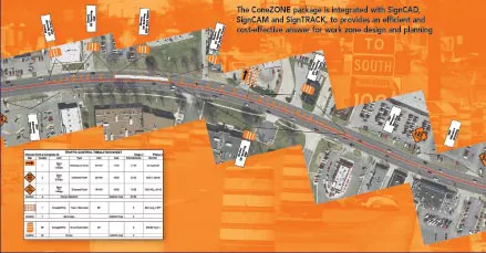
    Managing utility works effectively is important, given that digging up roads and then patching them can dramatically cut the life of a road surface. New software tools make this process easier to manage effectively and Bentley Systems is extending its Expert Designer V8i package to include water, gas, and communications infrastructure, in addition to electric utilities. This allows utility firms and engineering contractors using Expert Designer V8i to boost the efficiency of utility network design projects.
  • VIDEO: Telstra drone LIDAR maps Melbourne’s EastLink Mullum Tunnel
    April 13, 2018
    One of the applications for LIDAR is to make high resolution 3-D maps. Self-driving cars are pre-loaded with a LIDAR map of the trials area in which they are permitted to fully self-drive themselves. The cars also have their own LIDAR scanner which captures a real-time LIDAR view of the vehicle’s surroundings. The fully autonomous driving system within these prototype cars compares the real-time LIDAR view against the pre-loaded LIDAR map to significantly increase the accuracy of their self-positioning