Engineering and public services provider Amey is installing state-of-the-art sensors into gullies on UK highways in a trial aimed at preventing the flooding of roads.
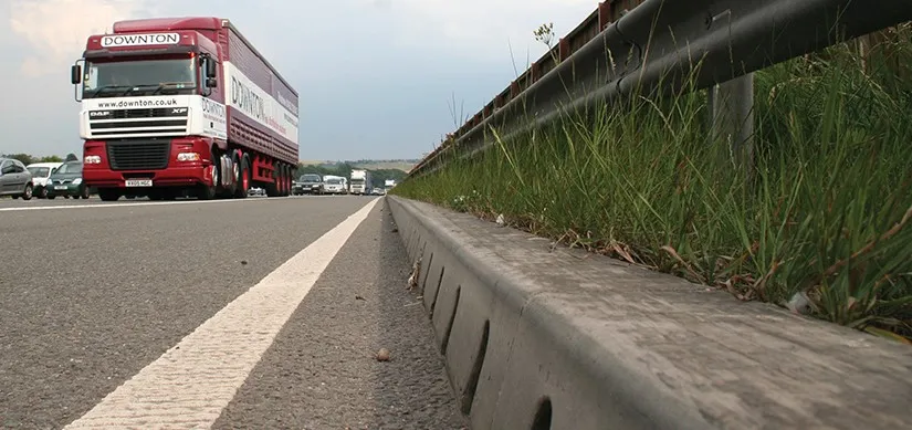
Excessive rainfall can lead to highways becoming flooded, especially if drains are blocked with silt and waste, increasing road surface damage.
Most local councils and road authorities inspect gullies - drainage pits covered by an open metal grating often located on the road edge - on a cyclical or risk-based basis. Efforts might be focused on gullies that are prone to flooding. However, there has not been a method that allows councils and their contractors to understand in real time when a gully is getting blocked.
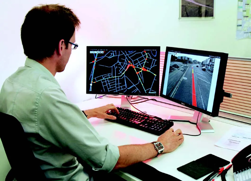
In the southern English county of Hampshire, Amey is installing what they describe as “live sensors” into gullies. The sensors measure the level of silt and water inside the drainage pit, feeding this information instantly back to a control centre managed by Amey via web-based, mapped, visualisation software.
This software couples weather forecasting with silt levels to advise administration the possibility of a gully flooding over the following days. Workers can then clean the gully in question, thereby avoiding the need for subsequent emergency – and expensive - attendances.
Amey director Paul Anderson said the technology allows for proactive rather than reactive maintenance. “We have installed 25 sensors in known high-risk gullies and are currently collecting information at these sites. If these sensors works as well as we hope they will, then it could lead to a radically different approach in Hampshire and elsewhere.”
Rob Humby, a member of the council’s environment and transport group, said the sensors should help establish an inventory of each gully which will show when and where maintenance resources are best directed.
Amey trials gully sensors in UK to help prevent road flooding
Engineering and public services provider Amey is installing state-of-the-art sensors into gullies on UK highways in a trial aimed at preventing the flooding of roads.