SICK’s LMS 1000 and RMS 1000 sensors deliver the goods

SICK says that it’s recently launched LMS1000 and MRS1000 infrared LiDAR sensors deliver more accurate and reliable distance sensing and measurement, especially in difficult conditions. The robust, compact sensors weigh just 1.2kg and come with rotatable connectors for easy mounting on gantries. Heavy rain, mist, dust or snow can lead to false signals, explained Neil Sandhu, SICK’s national product manager for imaging, measurement, ranging and systems. The addition of SICK’s triple-echo HDDM+ - High Defini
January 7, 2019 Read time: 3 mins
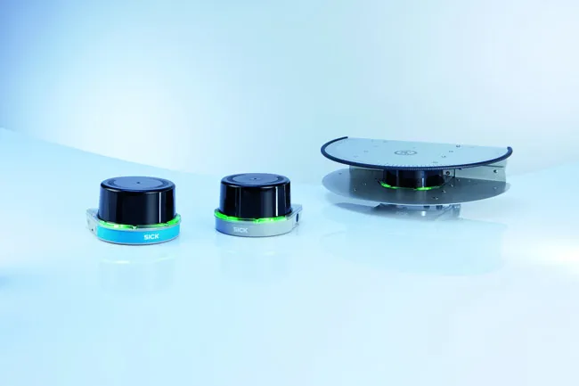
SICK’s MRS1000 scans in four planes at different heights
SICK says that it’s recently launched LMS1000 and MRS1000 infrared LiDAR sensors deliver more accurate and reliable distance sensing and measurement, especially in difficult conditions.


The robust, compact sensors weigh just 1.2kg and come with rotatable connectors for easy mounting on gantries. Heavy rain, mist, dust or snow can lead to false signals, explained Neil Sandhu, 3316 SICK’s national product manager for imaging, measurement, ranging and systems. The addition of SICK’s triple-echo HDDM+ - High Definition Distance Measurement - scanning to the SICK LMS and MRS allows much greater consistency in performance even when the sensors face adverse environmental conditions.

“MRS1000’s four plane detection capability enables it to be used for more complex tasks as diverse as buildings, transport park and boundary management, and security for large or sensitive areas,” said Sandhu.

The SICK LMS1000 scans in a single plane, with a 275o angle of view, up to 64m for a general range of distance detection and ranging applications, with 10 fields allowing several different preprogrammed applications. With the same angle of view and distance, the MRS1000 scans in four planes at different heights, allowing either the height of objects to be scanned in, such as overhanging obstructions or in-depth mapping using the sensor from an elevated position. The 64 fields allow a very wide range of applications.

With exceptionally high scanning frequency, the amount of data collected by the LMS and MRS1000 units ensures very high accuracy for the user. The triple echo evaluation technology means the masking effects of snowfall, mist, rain or dust are eliminated from the signal, giving greater accuracy for the detection and location of rapidly moving objects. A rugged, compact housing resisting shock, impact and vibration also allows an operating temperature range of -30oC to +50oC. Integrated heating ensures that the sensor is fit for duty even in extremes of weather – and keeps maintenance costs low.

Configuration is very easy with SICK’s highly intuitive free SOPAS programming tool. Teaching in the fields takes little time and adds versatility and application-specific performance to the sensor.

The Ethernet interface delivers the measurement data output in real time for immediate operator action where required, and with switching outputs allowing wide availability of the data across an organisation’s local area network.

For more information on companies in this article

Related Content

  • Smarter compaction technology in use in Missouri
    October 2, 2018
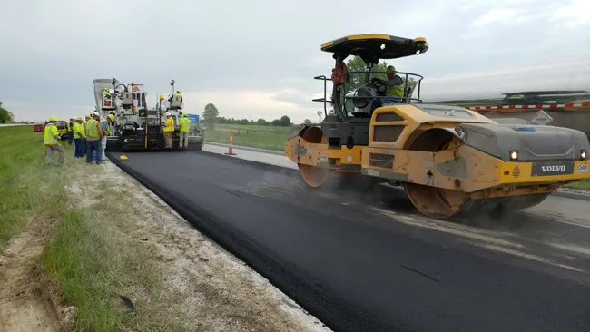
    Intelligent compaction and infrared scanning technologies have been used to improve construction quality The Missouri Department of Transportation (MoDOT) carried out a year-long project throughout 2017 to demonstrate the use of intelligent compaction (IC), infrared scanning (IR), and Veta software to improve pavement construction operations. “We were looking for ways to assess quality in asphalt projects,” said Bill Stone, research administrator at MoDOT. “We are working towards better pavements that l
  • LiDAR surveying is making inroads into asset management
    December 18, 2017
    In the coming age of the autonomous vehicle, fast and accurate LiDAR surveying will be increasingly important, explains Valdis Vanags. The game-changing introduction of autonomous vehicles relies not only on intelligent traffic systems but well maintained roads to help computer-guided systems navigate using road markings. Laser scanning technology, too, is a game changer when it comes to planning and executing many civil engineering projects, including transport network upgrades and smart city initiatives.
  • New non-destructive testing technologies for roads and bridges
    July 11, 2018
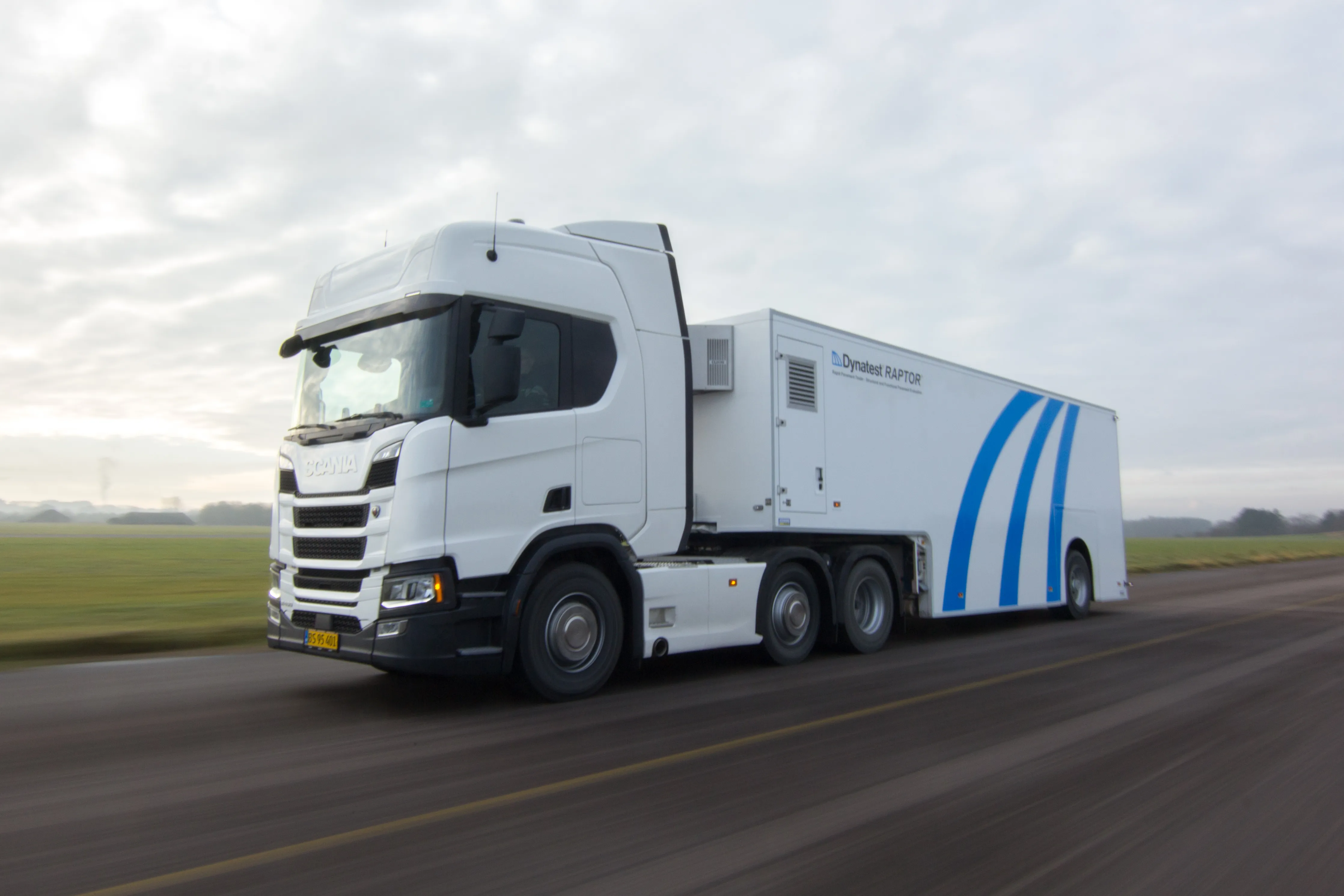
    Two new technologies for non-destructive testing offer key benefits, one suiting road surfaces, the other suiting concrete structures - Kristina Smith reports Dynatest has developed a new way to measure and record the state of pavements, using a machine that travels at the same speed as traffic. The Rapid Pavement Tester (Raptor) has been seven years in the making and offers road owners the chance to have comprehensive surveys without the need to disrupt traffic. “People have been wanting to do this for
  • VIDEO: Telstra drone LIDAR maps Melbourne’s EastLink Mullum Tunnel
    April 13, 2018
    One of the applications for LIDAR is to make high resolution 3-D maps. Self-driving cars are pre-loaded with a LIDAR map of the trials area in which they are permitted to fully self-drive themselves. The cars also have their own LIDAR scanner which captures a real-time LIDAR view of the vehicle’s surroundings. The fully autonomous driving system within these prototype cars compares the real-time LIDAR view against the pre-loaded LIDAR map to significantly increase the accuracy of their self-positioning