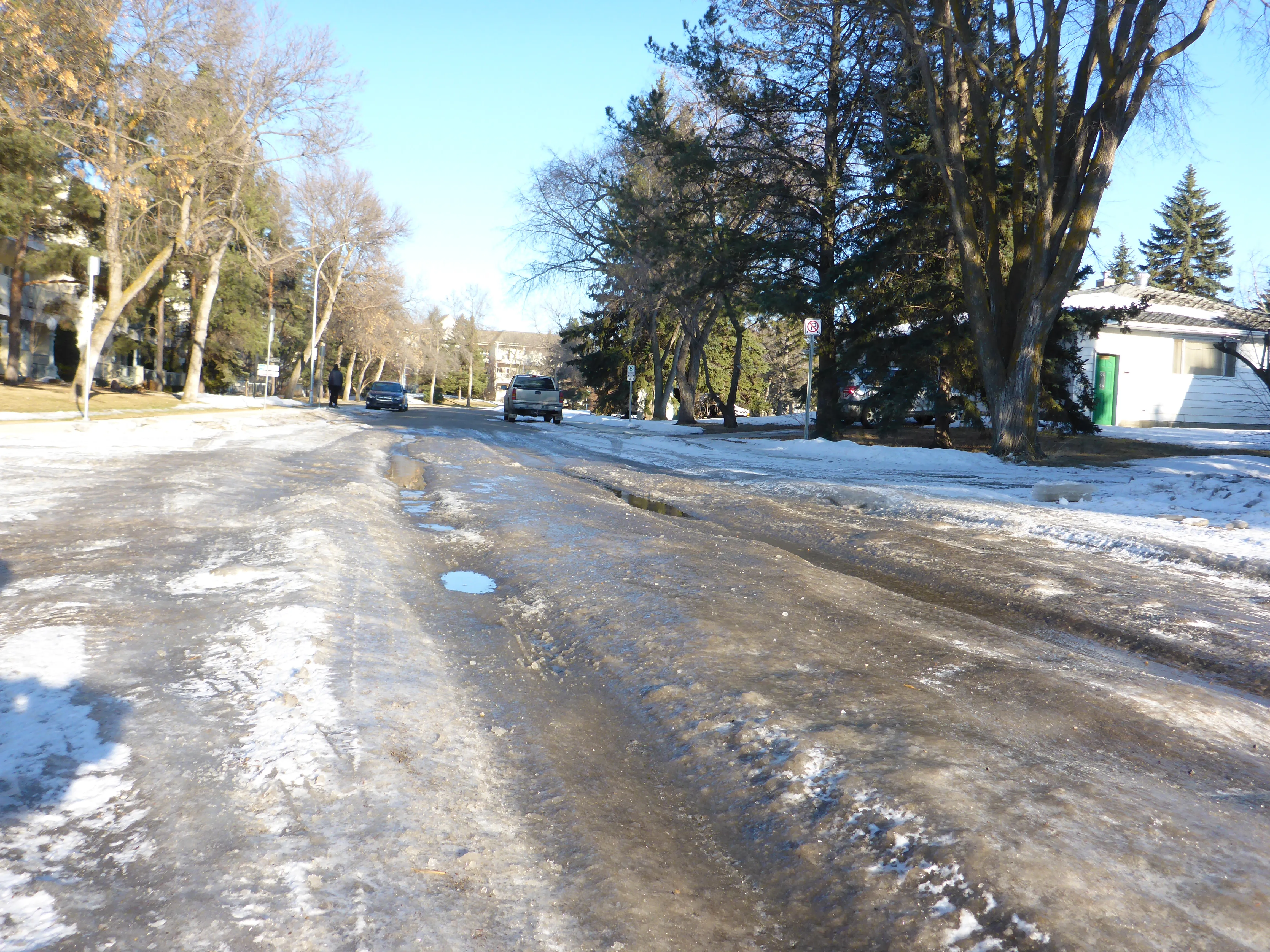
TrafficLand, the largest authorised aggregator of live traffic video in the United States, and global aerospace and defense firm Exelis, have teamed up to deliver “game-changing” real-time information to motorists about hyperlocal weather conditions.
The Helios environmental intelligence platform uses proprietary algorithms that give users the ability to monitor current conditions and detect changes in visibility, precipitation and road surface conditions at a hyperlocal, or street scale. Helios can then i
The Helios environmental intelligence platform uses proprietary algorithms that give users the ability to monitor current conditions and detect changes in visibility, precipitation and road surface conditions at a hyperlocal, or street scale. Helios can then inform users of threatening conditions. Content from the Helios platform is available via API or Web interface for integration across platforms.
Exelis brings 45 years of weather intelligence and image science expertise to TrafficLand’s network of more than 15,000 Department of Transportation traffic cameras in over 200 cities across the United States.
“Demand for TrafficLand content historically spikes during severe weather events, demonstrating that people want accurate, timely information about weather conditions at roadside cameras on the roads they are traveling,” said Lawrence Nelson, CEO of TrafficLand. “This partnership creates a game-changing weather information platform that will help individuals using in-car and other connected devices, as well as public agencies, media and others make better weather-related decisions.”
“Exelis is applying similar science used for Earth imaging and environmental satellites, which produce weather data for forecasters, to the TrafficLand network of cameras,” said Eric Webster, Exelis Geospatial Systems vice president of weather systems. “Our proprietary algorithms can also provide ground truth to regional predictions.”