
Hexagon buys SCCS, a supplier of Leica Geosystems in the UK

Hexagon has acquired Paul MacArthur Limited, SCCS – a UK supplier of surveying equipment to the engineering and infrastructure market and a Leica Geosystems distributor for over 20 years. SCCS, based in Cambridge, England, provides surveying solutions across the country, offering customers rent, purchase and service options in the road, rail and construction projects. “As the UK continues to fund major infrastructure projects with more stringent processes related to Building Information Modelling (BIM
January 13, 2016 Read time: 2 mins
7121 Hexagon has acquired Paul MacArthur Limited, SCCS – a UK supplier of surveying equipment to the engineering and infrastructure market and a 265 Leica Geosystems distributor for over 20 years.

SCCS, based in Cambridge, England, provides surveying solutions across the country, offering customers rent, purchase and service options in the road, rail and construction projects.

“As the UK continues to fund major infrastructure projects with more stringent processes related to Building Information Modelling (BIM), collaboration between the construction and software sectors becomes increasingly vital,” a statement from Hexagon said. “SCCS’s local market expertise and relationships coupled with Hexagon’s digital technologies that enable new, data-enabled ways of working will strengthen adoption of Hexagon’s solutions in this area.”

“Adding SCCS to our direct sales footprint enables us to better capitalise on the growing opportunities in the UK, as well as offers SCCS customers opportunities to adopt new technologies from Hexagon’s extensive portfolio,” said Ola Rollén, Hexagon’s president and chief executive

“Additionally, not only does this acquisition…provides a wealth of knowledge and expertise in the area of equipment rental, accelerating our ability to serve the evolving needs of our global customer base.”

SCCS will be fully consolidated immediately. Excluding intercompany revenue, the company’s turnover for 2015 amounted to around €12 million.

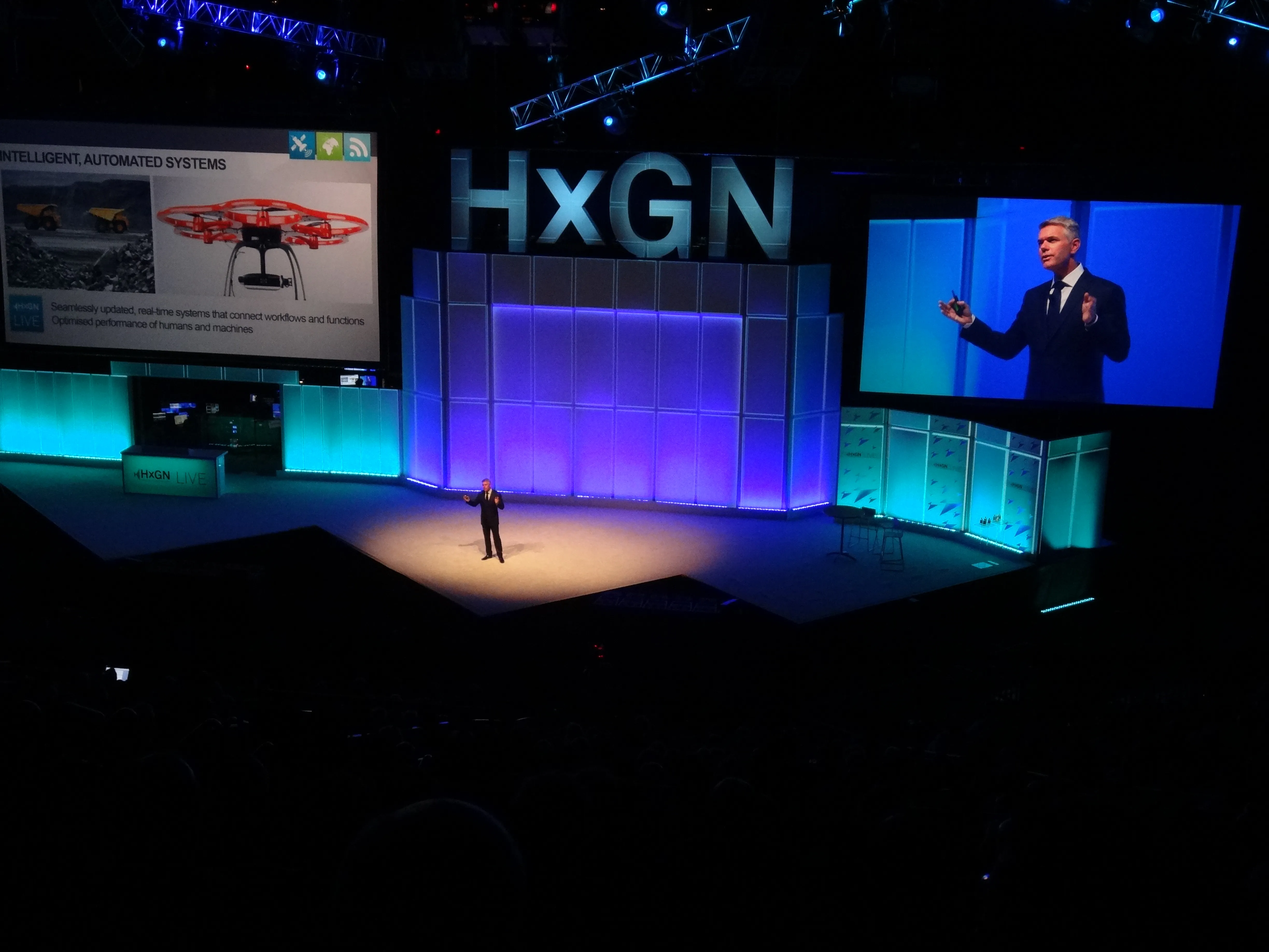
Hexagon is a global provider of information technologies for geospatial and industrial applications. The company integrates sensors, software, domain knowledge and customer workflows. Hexagon, listed on the Stockholm stock exchange, has more than 16,000 employees in 46 countries and net sales of around €2.6 billion.

For more information on companies in this article

Related Content

  • HxGN Live 2014: Hexagon CEO highlights individual need to grasp IT innovation
    June 4, 2014
    Hexagon president and CEO Ola Rollén stressed how individual users of exciting information technology innovation held the key to successfully confronting growing global challenges during his keynote speech titled ‘The Disruptive Power of Transformation’ which officially opened HxGN Live 2014.
  • Dana strikes deal with Brevini
    November 21, 2016
    Transmission specialist Dana Incorporated has struck an agreement to purchase the power-transmission and fluid power businesses of Brevini Group. Under terms of the agreement, Dana plans to initially purchase an 80% share in the Brevini businesses, with an option to purchase the remaining 20% by 2020. Dana has valued the Brevini businesses at €325 million, including the assumption of approximately €100 million of net debt. The acquisition will expand Dana's product portfolio with adjacent technologies. I
  • The Hexagon Group continues to add to its portfolio with further acquisitions
    July 17, 2014
    Hexagon Geosystems, a division of Hexagon AB, is acquiring French company Geodata Diffusion SAS. This deal further develops the portfolio of Hexagon Geosystems in design, measurement and visualisation technologies. With this move the company becomes a wholly owned subsidiary of Hexagon. Headquartered in Arpajon, near Paris (France), Geodata Diffusion is a major provider of network RTK correction services to the surveying segment through its Orphéon network of GNSS permanent stations. The Orphéon network cov
  • Leica Cyclone teams up with NCTech’s iSTAR camera database
    January 19, 2016
    Users of Leica Cyclone, a 3D point cloud processing software, can now automatically import and align high-dynamic range (HDR) data from NCTech’s iSTAR camera database. The result is enhanced images delivered faster and easier, according to both companies. “It is also the accuracy to which these images fit the 3D point cloud data that is paramount. NCTech’s iSTAR camera produces high-quality HDR imaging at the accuracy everyone expects,” said Faheem Khan, vice president, business development for Leica Geosys