Google selects Inrix Traffic for eight European countries

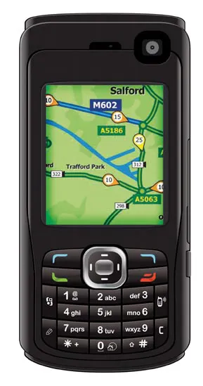
Google has selected Inrix's real-time traffic data to help power its navigation and mapping applications in eight European countries, including the UK and Germany.
April 30, 2012 Read time: 1 min
1224 Google has selected 5367 INRIX’s real-time traffic data to help power its navigation and mapping applications in eight European countries, including the UK and Germany. The traffic data will now appear on Google Maps as well s Google’s mobile navigation applications and it is likely that the Inrix service, which is available in 30 countries, will be rolled out into additional markets by the end of the year.

Inrix has also been selected to provide its real-time traffic information and connected driving services to Fullpower-MotionX for its best-selling MotionX-GPS Drive navigation app for iPhone and iPad – said to be used by more than 10 million people worldwide

For more information on companies in this article

Related Content

  • Traffic management software tools
    March 5, 2012
    A joint development project between Delcan Corporation and Intelligent Devices Incorporated (IDI) has resulted in the sophisticated Intelligent NETworks product. This is an integrated product that combines the IDI Intelligent Control NTCIP system with the Delcan advanced transportation applications of NETworks. The system can be linked to dynamic message signs (DMS), CCTV and vehicle detector stations (VDS), traffic intersections, as well as environment road weather sensor stations.
  • Efficient road traffic management for large-scale sporting events
    October 25, 2022
    Modern road networks require a significant amount of infrastructure to function, from the roads themselves to signage, as well as other assets that are needed to keep things running. Throw in the digitisation of road networks and infrastructure requirements will significantly increase, especially when it comes to the introduction of connected (“internet-of-things”) devices and an array of sensor systems required for road monitoring.
  • Free flight planner app for HCSS Aerial
    April 9, 2021
    The HCSS Aerial: Drone Mission app works with most drones to capture high-resolution images.
  • Data collection key to software developments
    February 13, 2012
    The collection and handling of data are key technology drivers in the software sector. New methods of data collection and manipulation are driving significant developments in software at present. The latest technology allows designers and engineers to collect, store and manipulate ever larger amounts of data. Growing use of mobile field equipment for both data collection and field management is driving interactive systems. And in an interview this month Autodesk senior vice-president for the construction an