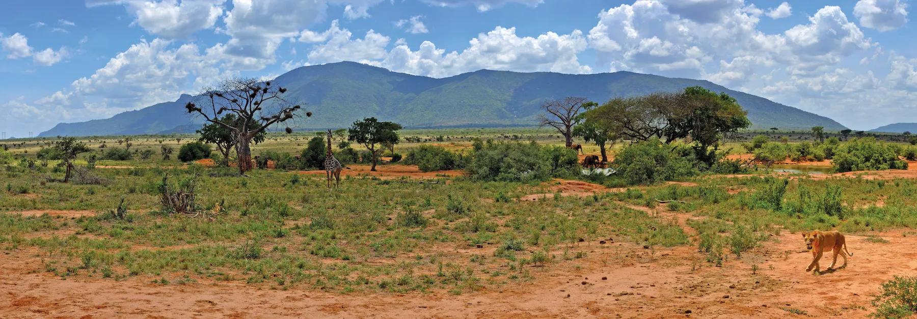
With increased traffic comes an increasing number of wildlife vehicle collisions - WVC. It is estimated that there are billions of WVC globally each year and 10 million WVC in Australia alone, with four million mammal deaths as a result.
A one-day symposium in Sydney, Australia, this month will focus on how technologies, from LiDAR and artificial intelligence to automation, smart phones and smart signs, are helping save mammal – as well as human – lives.
The event on May 21 – in person and also streamed live on-line – is being organised by the Australasian Network for Ecology and Transportation and the Environment Institute of Australia and New Zealand, with sponsorship from Transport for New South Wales state. Technologies to be discussed includes animal detection and identification systems, animal deterrent systems such as virtual fences, in-car and roadside warning systems for motorists and vehicle automation.
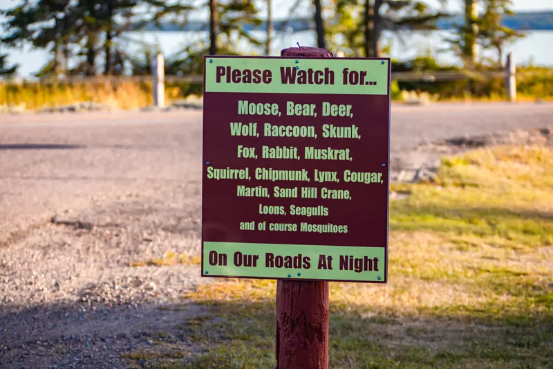
Transport agencies around the world are building fences to prevent wildlife from accessing roads and railways and installing underpasses and overpasses to allow safe crossing. There are many situations where fences and crossing structures are not feasible, and technological approaches, such as animal detection and deterrent systems, are being considered.
Presenters from Australia and New Zealand, as well as Canada, Sweden, Portugal and Austria will explore the evidence and the ecological and technological considerations that underpin different options for reducing wildlife-vehicle collisions. Based on current understandings, opportunities for future research and trials will be discussed. The event will bring together ecologists, transport agencies, technology experts, all levels of government, non-government organisations, industry and the community.
It is one thing to design highways and warning systems that alert humans to potential collisions. It is another thing to design a warning system that animals will understand as a signal that danger approaches. Understanding animal behaviour is essential, according to co-presenters Douglas Kerlin and Dr Rob Appleby.
Kerlin, a population and spatial ecologist at Griffith University, has been investigating the impact of environmental and conservation policy on ecosystems and wildlife. He has over 20 years’ experience working with koalas, with time spent as an environmental consultant, and as chief ecologist at the Australian Koala Foundation.
Appleby is a wildlife ecologist and behaviourist specialising in human-wildlife conflict. In 2010 Appleby co-formed a wildlife and conservation technology company called Wild Spy that develops wildlife monitoring and management devices. At Griffith University, he currently is examining the use of smart signage in reducing koala, ways to improve wildlife warning systems for drivers and developing roadside repellents to discourage wildlife from entering roads at the wrong time.
Click here to view the programme and to register, for either in person or on-line participation.
The Environment Institute of Australia and New Zealand is a not for profit, professional association for environmental practitioners from across Australia and Aotearoa New Zealand. Its members come from all areas of environmental practice and are at the forefront of challenging and complex issues such as climate change, sustainability and preserving biodiversity. To visit the institute’s website, click here.