A study of McCain’s QuicTrac adaptive control software, deployed over a year ago by the Californian city of Temecula, has highlighted the array of benefits achievable through an adaptive system. The survey calculated the arterials’ level of service, measured in delay per vehicle, both pre- and post-deployment, evaluating the systems’ benefit-to-cost ratio and environmental impact.
April 30, 2012
Read time: 2 mins
RSSA study of 5198 McCain’s QuicTrac adaptive control software, deployed over a year ago by the Californian city of Temecula, has highlighted the array of benefits achievable through an adaptive system. The survey calculated the arterials’ level of service, measured in delay per vehicle, both pre- and post-deployment, evaluating the systems’ benefit-to-cost ratio and environmental impact.
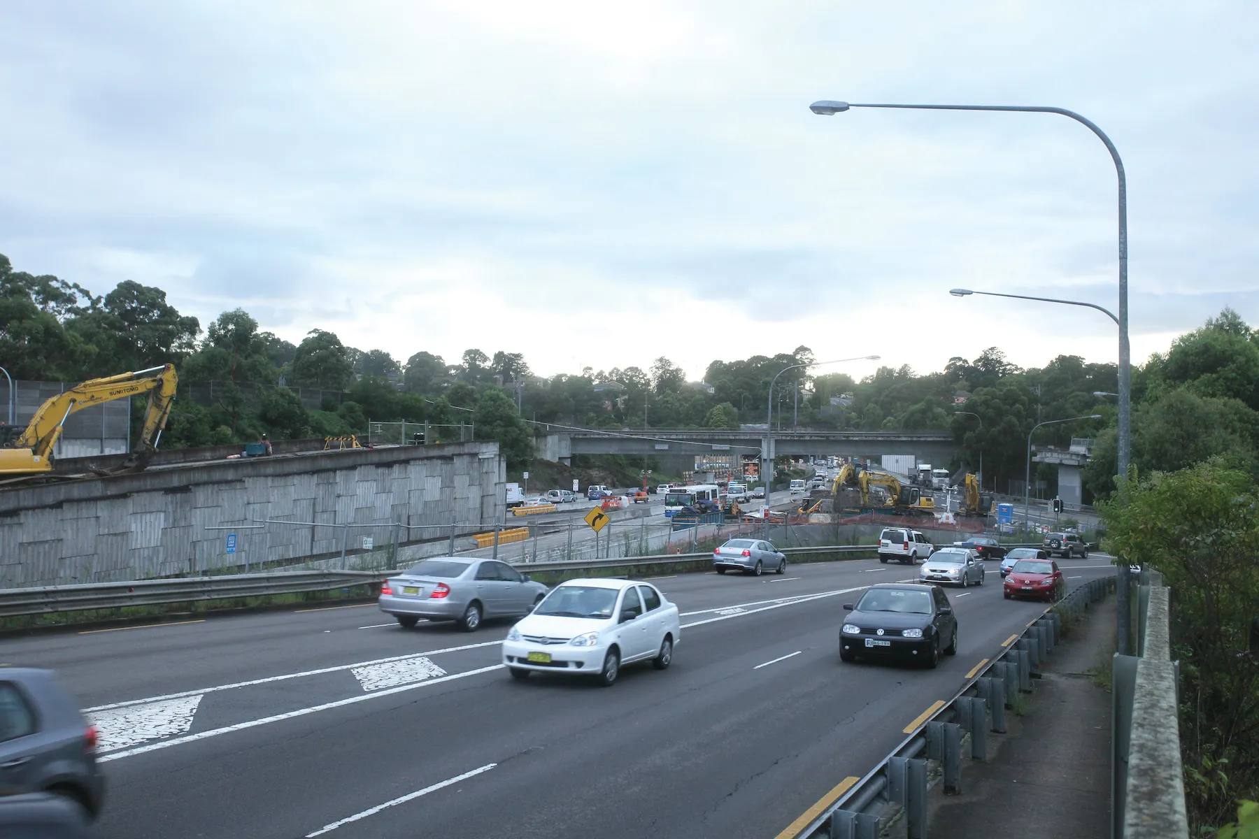
Considerable congestion levels and queuing on off-ramps during rush hours led the city of Temecula to seek out a solution that would lower congestion and maximise thoroughfare at minimal expense to the city. McCain’s adaptive signal control system was used to optimise signal timing along 83 intersections spanning 29kms of the city’s busiest corridors, including seven traffic signals located at the I-15 freeway interchange.
QuicTrac adaptive signal control reduced delays at 81.3 per cent of the study intersections, yielding a 14 per cent citywide improvement in travel time, 17 per cent increase in corridor speeds, as well as 29 per cent less stops. In addition, the solution delivered a 30:1 benefit-to-cost ratio to the city and is projected to save commuters US$2.6 million in first year travel time and $437,000 in first year fuel costs.
QuicTrac adaptive control software operates through the collection and analysis of real-time data from field detectors, loops or video, establishing traffic flow and demand. The software then runs a series of advanced algorithms to determine and coordinate optimum signal timing for the entire corridor. By coordinating traffic signals based on current conditions, the technology provides a series of green lights, expediting groups of vehicles through arterials.


