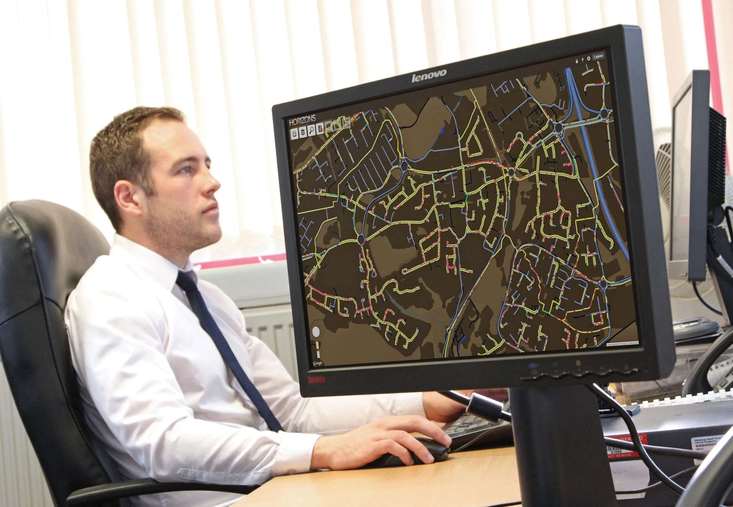
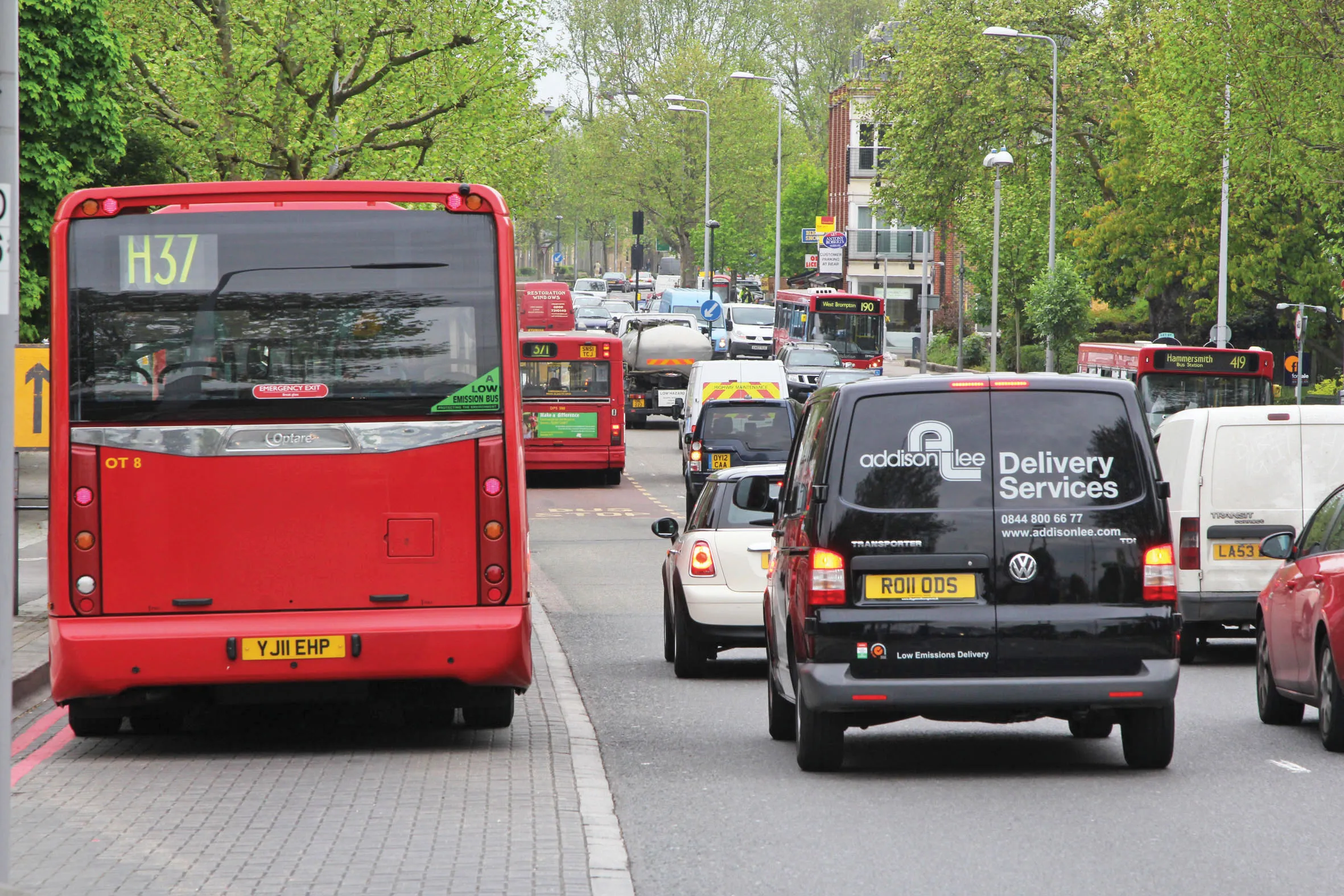
Maximising the economic benefit of infrastructure assets can be achieved through delivering better quality maintenance. Increasing utilisation of infrastructure follows on from those assets being in better condition. Clearly by tracking infrastructure condition closely, huge gains can be made in addressing technical issues before they become more serious and more costly, as well as minimising disruption. In UK city Birmingham, high resolution aerial photography from Bluesky is helping the city council under
Ensuring effective asset management is crucial to delivering reliable infrastructure - Mike Woof reports
Maximising the economic benefit of infrastructure assets can be achieved through delivering better quality maintenance. Increasing utilisation of infrastructure follows on from those assets being in better condition. Clearly by tracking infrastructure condition closely, huge gains can be made in addressing technical issues before they become more serious and more costly, as well as minimising disruption.In UK city Birmingham, high resolution aerial photography from
“We needed to update our aerial photography as our previous dataset, also from Bluesky, was now five years old,” commented Michael McGuinness, property information manager at Birmingham City Council. Covering the 267km2 of the metropolitan area, the data is being used across the organisation, which is also the largest local authority in Europe. This reduces the time spent on site which in turn allows for cost savings and efficiency gains. “As an example the use of aerial photography within the Highways arena,” he continued, “including identification and mapping of highways assets, planning and delivery of traffic surveys and design and layout of new junctions.”
Further specific applications of the Bluesky aerial photography include identification and mapping of bus and cycle lanes, verification of vegetation along the highway, checking for possible mistakes in road markings and identification of off street car parks. The images supplied by Bluesky form part of their off the shelf archive of high resolution, georeferenced aerial imagery and derived datasets. With nationwide coverage this is one of the most up to date, comprehensive and widely used ortho-rectified Image databases available in the UK today. New aerial photographs and datasets are continually added through a five-year rolling programme.
Meanwhile in France, FIT ESIC and FIT CONSEIL purchased StreetMapper mobile mapping technology. Developed by UK based
“We have tested a number of mobile mapping systems over the past two years and conducted a detailed technical analysis of each one,” said Marc Daeffler, director of the Engineering Division at FIT ESIC. “Due to the size of our companies and our leading position, offering our clients this technology was a necessity not an option. StreetMapper will fill the gap between the other technologies and instruments we already use, for example airborne laser scanners and digital cameras, terrestrial laser scanners, GPS systems and total stations.”
The StreetMapper technology will be used in urban mapping projects, with its data collection allowing extensive survey projects to be completed in short time frames. Daeffler added, “In addition to our own market research we liaised with other users of mobile mapping systems. This has emphasised not only the technical expertise of the 3D Laser Mapping team but also their willingness to get involved, supporting clients when undertaking original or challenging survey projects. As new users of StreetMapper this gives operational advantages and peace of mind.”
In the Netherlands, surveying company
Geomaat is also exploring the use of StreetMapper data to identify and record the locations of the detection wires located along the highway. Used to record traffic volumes, speeds and temperatures, these provide essential intelligence for highways managers. In a similar development Geomaat is using the same point cloud data to calculate clearances and free heights along the highway prior to extensive resurfacing projects. “The fundamental difference of using StreetMapper versus traditional surveying techniques for highways surveys, is that we can, and do, measure everything; quickly and with minimal disruption to other road users,” commented Jolle Jelle de Vries, managing director of Geomaat. “That means that when additional questions arise during the course of the project we already have the answers. “In addition to the highly accurate point cloud measurements StreetMapper also allows us to capture 360° georeferenced images. These allow us to visualise the DTM, design, barriers in the real world context.”
Working on behalf of many of the civil construction companies awarded highways maintenance projects by the Dutch Road Administration Geomaat has surveyed more than 400km of road. Using StreetMapper Geomaat was able to complete the data capture element of the project within just four days, and within four weeks they had produced a DTM and complete pavement design with milling and asphalt figures. This compares to a project length in excess of three months for more traditional data capture and processing methodologies.
StreetMapper has been specifically designed for the rapid 3D mapping of highways, runways, railways, infrastructure and buildings. Using vehicle-mounted lasers offering a 360° field of view, StreetMapper enables high precision mapping to a range of 300m, a capacity of 550,000 measurements/second per sensor and recorded accuracies in independent real world projects of better than 10mm.
And the London Borough of Richmond upon Thames has appointed