Advanced vehicle monitoring technology

PIPS Technology has commissioned two Journey Time Measurement Systems (JTMS) in Gravesend and Tunbridge Wells for Kent Highway Services (KHS) in the UK. The JTMS locations consist of 34 Automatic Number Plate Recognition (ANPR) cameras and JTMS software all provided by PIPS Technology.
February 15, 2012 Read time: 2 mins
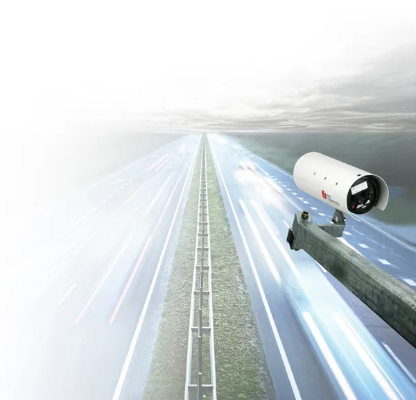
Roads in the english county of Kent now feature vehicle monitoring systems from PIPS technology

202 Pips Technology has commissioned two Journey Time Measurement Systems (JTMS) in Gravesend and Tunbridge Wells for Kent Highway Services (KHS) in the UK. The JTMS locations consist of 34 Automatic Number Plate Recognition (ANPR) cameras and JTMS software all provided by PIPS Technology.

The PIPS JTMS solutions installed in Kent both feature a network of award-winning P372 integrated Spike ANPR cameras, linked by wireless communications to the JTMS software. The Spike cameras are able to read the number plate of every vehicle that passes and sends time stamped and encrypted data back to the JTMS server.

The JTMS server calculates journey times from the data collected and forwards them to a common database which calculates journey times from systems all over Kent. To calculate the journey time the JTMS database uses the data transmitted from PIPS cameras and calculates how long it takes each vehicle to travel from one part of the network to another. From this an average time is calculated so that users know how well the traffic is flowing. Journey time data is useful as it can be transmitted to the roadside to communicate travel times to drivers by variable message signs (VMS) and allows planners to see areas of the road network which are not flowing as they should.

The system in Kent is being used to monitor journey times and alert operators in the KHS Traffic Management Centre of possible congestion and delays on the network. In total there are 21 different camera sites featuring PIPS Spike cameras spread across the two individual project locations, all of which are on single lane carriageways.

For more information on companies in this article

Related Content

  • ERIC 2016: What shape the ‘Smart Road’?
    February 7, 2017
    Optimism about the future of highways worldwide abounded at the inaugural European Road Infrastructure Conference (ERIC) in Leeds, UK Around 500 delegates passed through the varied sessions during the three-day event at the Royal Armouries Museum in the northern English city of Leeds. They came away with many visions of what a motorway and road could look like. But what speakers at the event - co-organised by the Brussels-based European Union Road Federation (ERF) and the UK’s Road Safety Markings Ass
  • ERIC 2016: What shape the ‘Smart Road’?
    February 7, 2017
    Optimism about the future of highways worldwide abounded at the inaugural European Road Infrastructure Conference (ERIC) in Leeds, UK. Around 500 delegates passed through the varied sessions during the three-day event at the Royal Armouries Museum in the northern English city of Leeds. They came away with many visions of what a motorway and road could look like. But what speakers at the event - co-organised by the Brussels-based European Union Road Federation (ERF) and the UK’s Road Safety Markings Associat
  • Wirtgen spreads the word about Streumaster
    August 8, 2023
    Streumaster sets the standard for filling, material conveying and spreading accuracy.
  • Cleaner urban streets through sensor use
    October 9, 2018
    Sophisticated new sensors from EarthSense are said to help improve urban air quality according to the firm. Air quality monitoring technology from EarthSense is providing real-time data for trials into the use of low emission vehicles to cut vehicle pollution in city centres. The data, collected by both mobile and static EarthSense Zephyr air quality monitoring sensors, is being used to automatically activate zero-emission