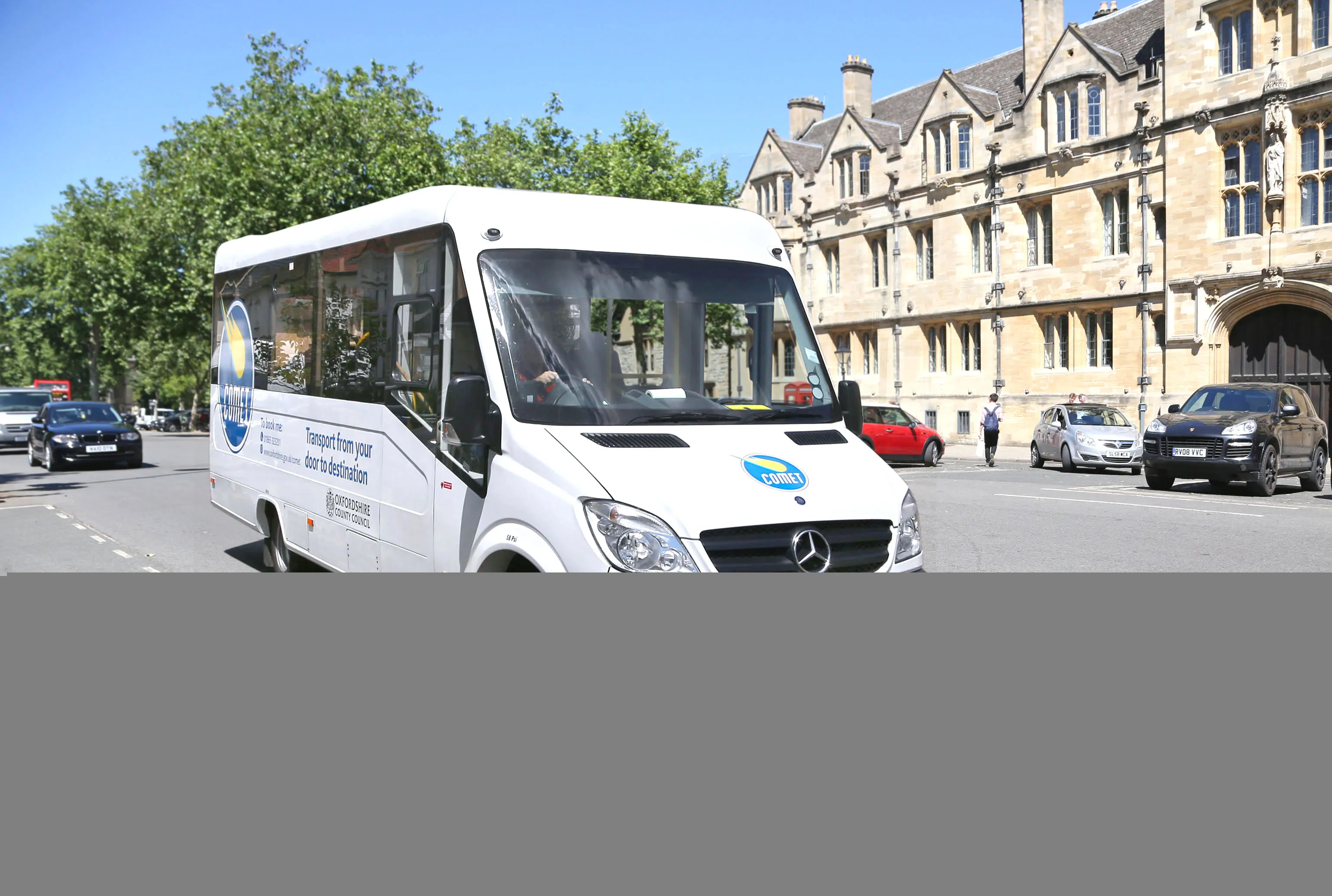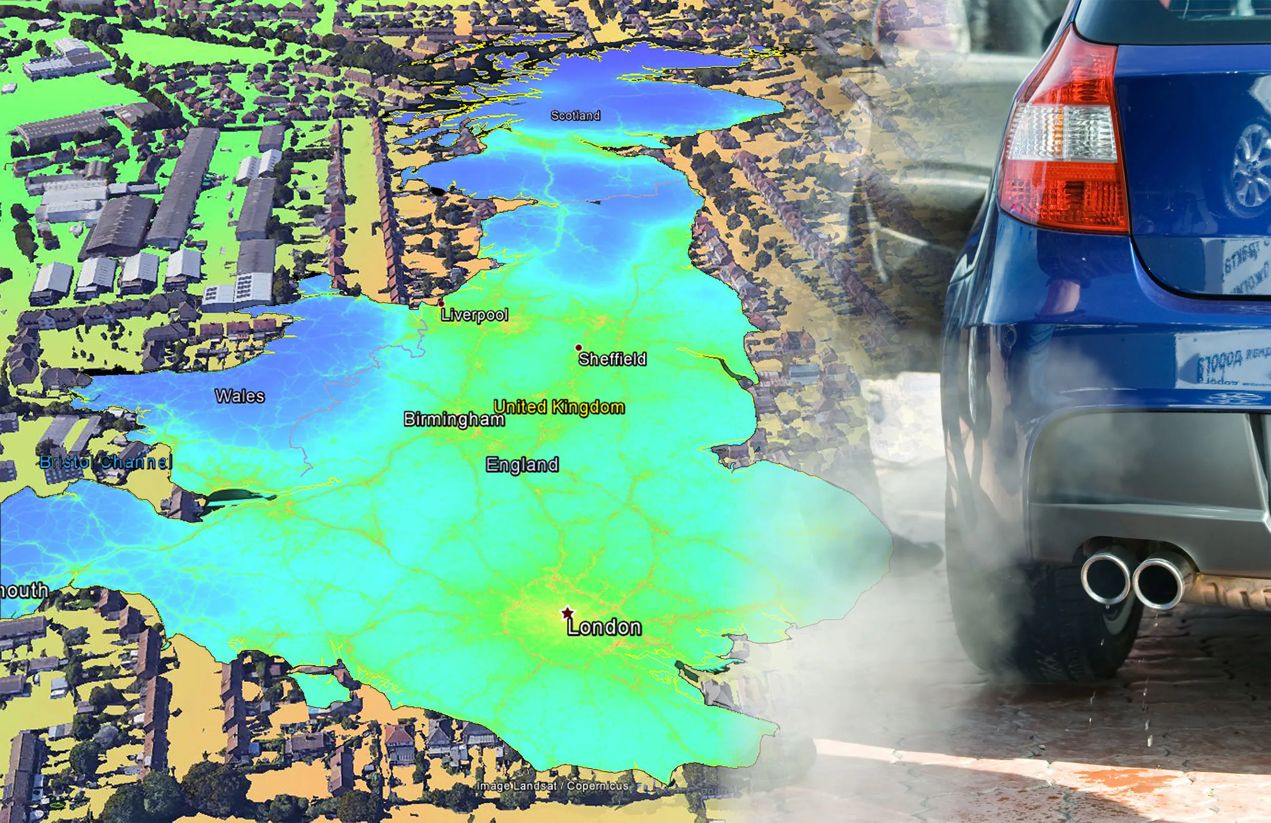
Air quality monitoring technology from EarthSense is providing real-time data for trials into the use of low emission vehicles to cut vehicle pollution in city centres. The data, collected by both mobile and static EarthSense Zephyr air quality monitoring sensors, is being used to automatically activate zero-emission running of hybrid vehicles as they pass through polluted city streets.
Data was presented at the Clean Smart City Conference; Improving Air Quality Through Vehicle Technology Innovation, held recently in Leeds as part of Project ACCRA (Autonomous and Connected vehicles for CleanerR Air).
ACCRA was a 12-month project, led by Cenex, the UK’s first Centre of Excellence for low carbon technology, in partnership with Leeds City Council and Transport Systems Catapult. Using parts of Leeds Clean Air Zone, ACCRA used real time air pollution measurements, captured by EarthSense, to trigger zero-emission running mode in a 7.5tonne range extended electric vehicle (REEV) when entering a designated control zone.
During the trials, EarthSense sensors were mounted in key locations in the city centre as well as on vehicles travelling through the area. Data from the sensors was used to update an air quality model, in real time, which was then used to regulate the vehicle’s emissions in the most polluted/traffic-dominated areas.
Project ACCRA has developed the products and communication protocols that enable the transfer of data between plug-in vehicles and air quality sensors. This data is then used by a Decision Making Engine to monitor, manage and control the location and duration of zero emission operation of plug-in hybrid and range-extended hybrid vehicles within a city centre or other designated zone. Other project partners include clean truck technology company Tevva and transportation network system developer