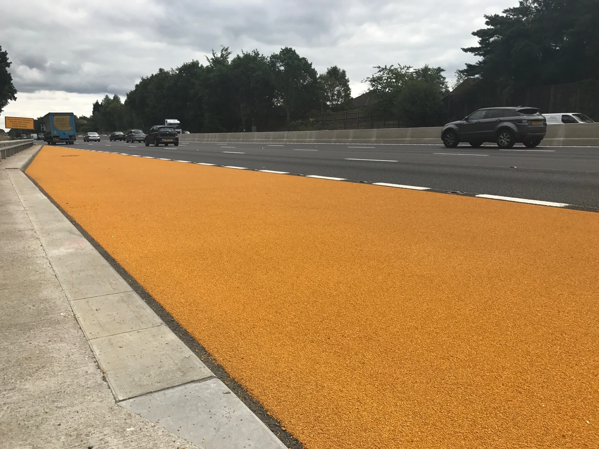
The first of a new-style smart motorway emergency stop area is being trialled on the M3 in England.
The redesigned emergency area has a highly visible orange road surface and better signs to improve its visibility, according to
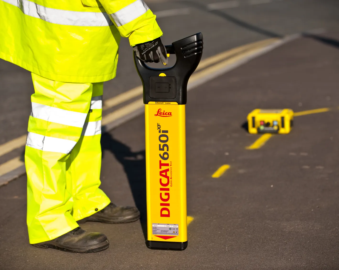
Work on the officially-called Emergency Refuge Areas is being done by
Smart motorways relieve congestion and improve journey times by making the hard shoulder available for use at busy periods. On some schemes, it is permanently converted into a traffic lane, known as All Lane Running.
Spaced emergency refuge areas - ERA - are provided roughly every 2.5km and are clearly marked with blue signs featuring an orange SOS telephone symbol.
This safety upgrade, using QMS Type 1 HyperGrip system, has been delivered on the 21.5km smart motorway scheme, which covers the M3 from junctions 2-4a in Hampshire and Surrey counties. Two emergency refuge areas were completed as z trial and now all ERA’s on the scheme will be afforded the same enhancement.
It is planned now to apply this coloured system on all ERA’s throughout the scheme with other smart motorway contracts expressing interest.
The change is part of an ongoing review into the design and spacing of emergency areas on smart motorways, said Jim O’Sullivan, Highways England chief executive.
Quality Marking Services
%$Linker: