Software collaboration between Autodesk and Leica Geosystems

Leica Geosystems has announced further cooperation with Autodesk to streamline construction documentation.
October 8, 2019 Read time: 1 min
A new collaboration between Autodesk and Leica Geosystems offers benefits for data sharing

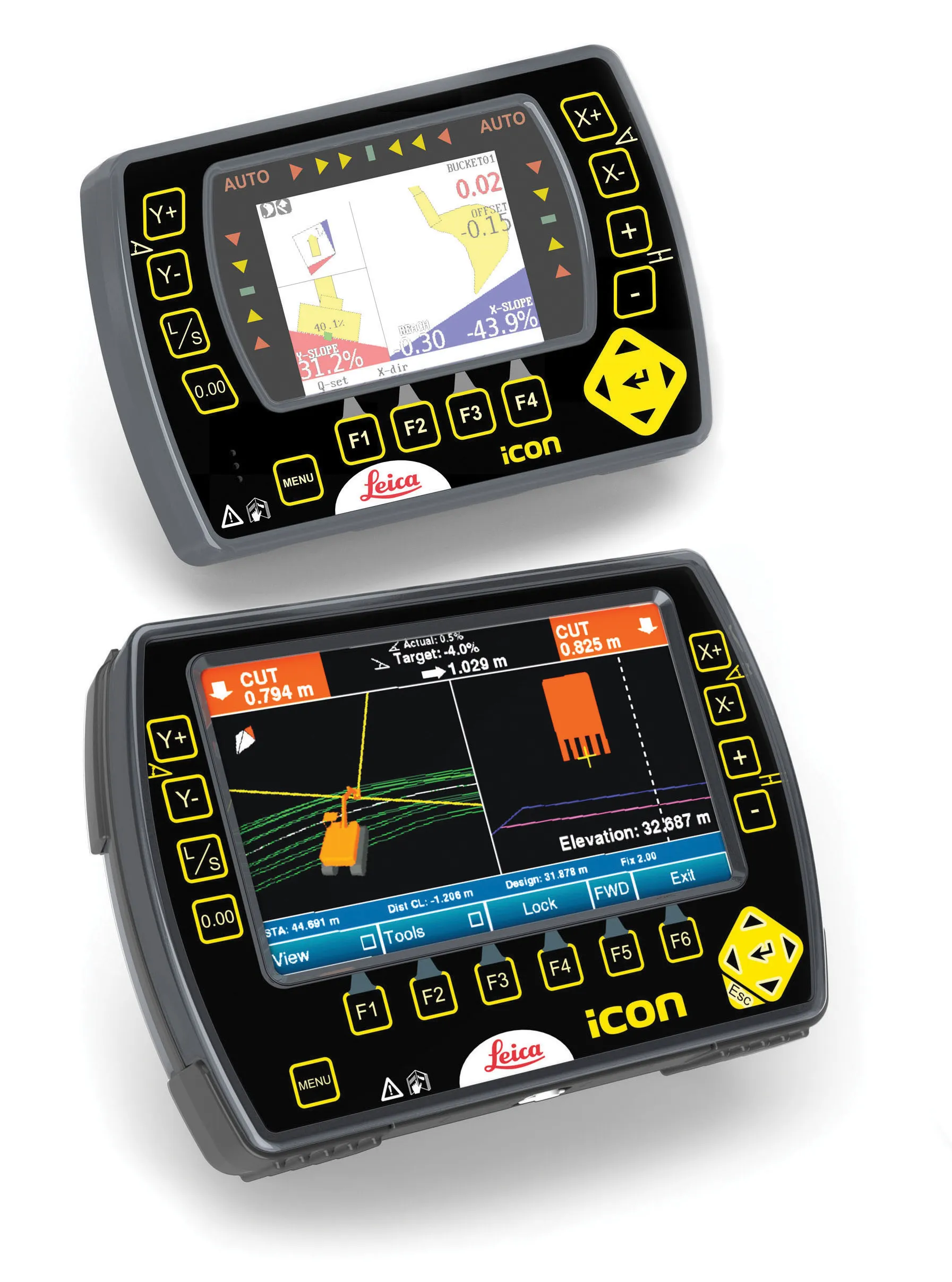
Leica Geosystems has announced further cooperation with Autodesk to streamline construction documentation. The move will offer streamlined communications and collaboration tools. This has been achieved by integrating the field software Leica Captivate and iCON with Autodesk BIM 360.

The development comes in response to the increasing complexity of construction projects and massive quantities of information generated. Interoperability with various information systems and industry standards is now a requirement for project success. The firms say that this move allows professionals to implement streamlined workflows based on reliable, high-accuracy data and workable 3D models.

Streamlining construction workflow helps to optimise efficiency and increase transparency on the jobsite and in the office.  By connecting Autodesk BIM 360, a leading construction management platform, with Captivate and iCON field software, customers will be able to create seamless workflows between office and field.  

This collaboration will allow connectivity to Autodesk BIM 360 for Captivate and iCON and will also allow data exchange via cloud-based services between office and field. In addition it allows straightforward data flow from point creation in the design to construction layout on site to validation back in the office and DWG support for Captivate and iCON.

For more information on companies in this article

Related Content

  • Software advances from around the globe
    April 24, 2013
    A quick look at various software development in highways – Adrian Greeman. Software for BIM processes, internet cloud based computing to link site and office, and the use of laser scan point-cloud data continue to be the central themes for major software suppliers in the road design area. Developments go hand in hand with the recent strategic agreements that firms like Autodesk and Bentley Systems have made with major survey companies, Topcon and Trimble respectively. The tie-ups, along with acquisitions, m
  • Bentley’s point cloud innovation for information modelling in road design
    August 22, 2013
    Latest software packages from Bentley Systems will help optimise project design and construction efficiency – Mike Woof reports Software systems have come a long way in helping optimise construction projects from design through construction to delivery. And the latest software from Bentley Systems offers additional capabilities for road design applications. Bentley Systems is offering the V8i (SELECTseries 3) versions of its InRoads, GEOPAK, and MXROAD products. All of the products now share the
  • Leica Geosystems develops machine control
    November 29, 2012
    An array of sophisticated machine control and surveying tools are coming to market from Leica Geosystems. One of the key developments is an addition to its iCON range in the form of its iCONtrol package. The firm says that this offers contractors a portfolio of powerful machine control solutions that can communicate with iCONstruct sensors on site and the iCON office software. This customisable and versatile solution suits use in grading and excavating segment and can be used as a control system for constru
  • Cloud-based solution from Leica Geosystems
    March 9, 2017
    Leica Geosystems has released the new Leica ConX at CONEXPO-CONN/AGG. ConX is a cloud solution and web interface to seamlessly integrate, manage and analyse surveying and machine control workflows for heavy construction projects.