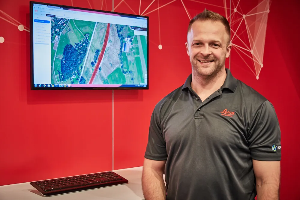
Cloud-based solution from Leica Geosystems

Leica Geosystems has released the new Leica ConX at CONEXPO-CONN/AGG. ConX is a cloud solution and web interface to seamlessly integrate, manage and analyse surveying and machine control workflows for heavy construction projects.
March 9, 2017 Read time: 2 mins
Doug Eggert Leica Geosystems product manager

265 Leica Geosystems has released the new Leica ConX at CONEXPO-CONN/AGG.

ConX is a cloud solution and web interface to seamlessly integrate, manage and analyse surveying and machine control workflows for heavy construction projects.

Personnel and machines on the jobsite need to share the same data and stay in sync with changes, so work can be carried out effectively, on time and budget. ConX allows users to share and visualise positioning, reference model and constructed data. Field and machine control solutions connected to ConX can remotely receive and share information, and the web interface for visualising the data is available anywhere with internet access.

ConX is designed to increase collaboration and simplify the data handling of machine control operations by integrating workflows, enabling remote control of connected machines and real-time data exchange from the office to the field and back. This cloud-enabled platform and web interface enables users to increase their efficiency on site and decrease their downtime while reducing the burden of data collection, aggregation and reporting.

“The digitisation of the construction industry is driving major improvements in productivity, data acquisition and job site safety,” said Doug Eggert, product manager at Leica Geosystems. “This can, however, bring practical issues of how to manage, share and analyse all of the data. We have developed ConX as a cloud solution to seamlessly manage 3D model, positioning, quality assurance and productivity data across the job site and bring it back to the office so field surveyors, machine operators, designers and project stakeholders can get the job done right with a little less stress.”

For more information on companies in this article

Related Content

  • Latest GIS and software tools improve operations
    February 24, 2012
    Innovative GIS and software solutions are coming to market from the three key market players - Mike Woof reports Competition is strong in the field for GIS and surveying systems as well as the associated software. The three major players in the sector, Leica Geosystems, Topcon and Trimble, all invest heavily in research and development and continue to roll out new solutions for construction customers that will boost the efficiency of surveying as well as overall project implementation.
  • A new construction ICON
    January 3, 2013
    More efficient construction operations should be the benefit of the new technology from Leica Geosystems. The firm is introducing its latest Leica iCON telematics package, which is said to offer increased efficiency for machine control operations on site and remote machinery fleet management. The Leica iCON telematics package is a web-based suite of tools that allows contractors to increase the efficiency of machine control operations on site and manage machinery fleets. This is a key component in iCONnect,
  • Accurate deformation monitoring from Leica Geosystems
    March 7, 2017
    Leica Geosystems is now offering a sophisticated tool that allows engineers to measure deformation accurately. The Leica GeoMoS Now! Survey Edition is a service for monitoring and managing 3D deformation of points of potentially unstable areas for surveying projects. It has a streamlined workflow and can deliver monitoring reports of man-made structures or natural dangers to smart devices. Surveyors can use this to upload coordinates, process and visualise deformations, allowing other users to access result