Revolutionary cable locator

Leica Geosystems says its new Leica Digicat 600i and 650i series, with Logicat software, is set to revolutionise underground cable location. The 600i and 650i, fitted with what Leica says is an innovative data capture and on-board memory function, is said to aid operations management moves to increase onsite safety by detecting cables and identifying operator training needs. Locating underground cables and pipes is said to be a simple and efficient task with the 600i and 650i series, boosting the operator’s
June 19, 2012 Read time: 2 mins
Leica Geosystems says its new Leica Digicat 600i and 650i series is set to ‘revolutionise’ underground cable location
265 Leica Geosystems says its new Leica Digicat 600i and 650i series, with Logicat software, is set to revolutionise underground cable location.

The 600i and 650i, fitted with what Leica says is an innovative data capture and on-board memory function, is said to aid operations management moves to increase onsite safety by detecting cables and identifying operator training needs. Locating underground cables and pipes is said to be a simple and efficient task with the 600i and 650i series, boosting the operator’s productivity and profitability.

The 650i is said to offer the user the same features and functionally of the 600i, with the extra benefit of service depth indication.

When using the Digicat in conjunction with the Digitex 100t or Sonde in 8 or 33 kHz modes, operators can determine the depth of the buried utility which, according to Leica, provides a clear advantage when conducting ground surveys.

The 600i and 650i locators have Bluetooth wireless connectivity, allowing the Digicat to integrate with mobile mapping technology to log survey data, in addition to enabling wireless Bluetooth data transfer. With Logicat software, calculation records can be retrieved and collated, helping to improve onsite safety and identify training needs.

For more information on companies in this article

Related Content

  • Innovative traffic information technology used in Vancouver
    February 23, 2012
    As the world descended on Vancouver for the 2010 Winter Olympics, visitors were able to travel around the city with confidence and intelligence thanks to a landmark project by IRF Member, Delcan
  • Arizona uses 1Spatial for inventory for the FHWA requirements
    February 6, 2017
    The US state of Arizona is using 1Spatial’s technology to send a yearly update of its entire road network to the Federal Highway Administration. As required by law, all state governments must do this and many have created a data set of their road network. But much of this is held at county level. The challenge, now that data has been collected, is how to keep this information up-to-date and accurate. 1Spatial software will automate the data validation process and also the change process. The technology w
  • Advances in tunneling technology offer efficiency
    October 18, 2017
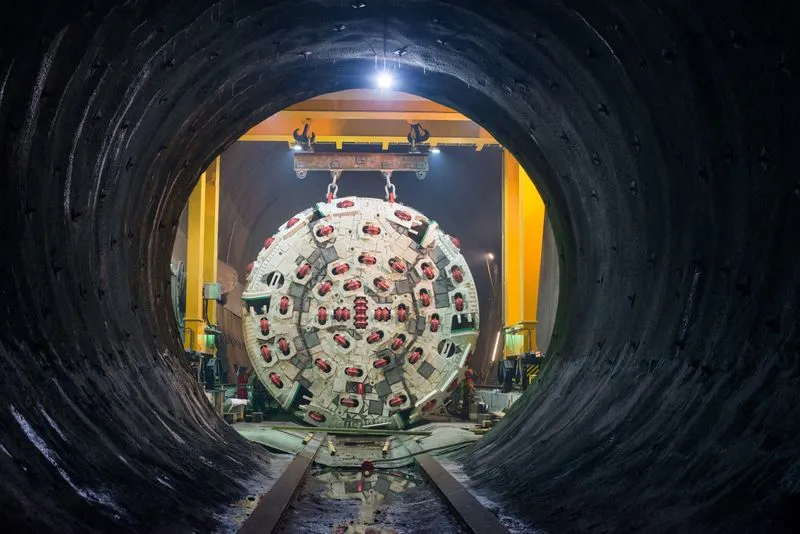
    New developments in tunnelling technologies offer contractors greater efficiencies when constructing new bores. Tunnel boring machines (TBMs) are widely being used in major projects such as the Brenner Base Tunnel in the Austrian Alps. Full face TBMs are highly sophisticated machines featuring a rotating drilling head, which removes the material, and, depending on the type of construction, secures the excavated tunnel with shotcrete, rock bolts and wire mesh or prefabricated segments of reinforced concrete.
  • Increased output, productive ADTs and excavators
    February 29, 2012
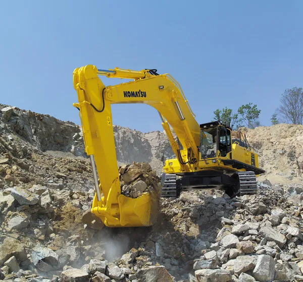
    Productive performers provide increased output for customers in the loading and hauling sector of the earthmoving market - Mike Woof writes. Loading and hauling machines play key roles in earthmoving operations, with the excavator and ADT combination proving both versatile and productive. While machines such as scrapers may be more efficient in specific earthmoving applications, these do not offer the versatility of the excavator and ADT combination, reducing utilisation.