Revolutionary cable locator

Leica Geosystems says its new Leica Digicat 600i and 650i series, with Logicat software, is set to revolutionise underground cable location. The 600i and 650i, fitted with what Leica says is an innovative data capture and on-board memory function, is said to aid operations management moves to increase onsite safety by detecting cables and identifying operator training needs. Locating underground cables and pipes is said to be a simple and efficient task with the 600i and 650i series, boosting the operator’s
June 19, 2012 Read time: 2 mins
Leica Geosystems says its new Leica Digicat 600i and 650i series is set to ‘revolutionise’ underground cable location
265 Leica Geosystems says its new Leica Digicat 600i and 650i series, with Logicat software, is set to revolutionise underground cable location.

The 600i and 650i, fitted with what Leica says is an innovative data capture and on-board memory function, is said to aid operations management moves to increase onsite safety by detecting cables and identifying operator training needs. Locating underground cables and pipes is said to be a simple and efficient task with the 600i and 650i series, boosting the operator’s productivity and profitability.

The 650i is said to offer the user the same features and functionally of the 600i, with the extra benefit of service depth indication.

When using the Digicat in conjunction with the Digitex 100t or Sonde in 8 or 33 kHz modes, operators can determine the depth of the buried utility which, according to Leica, provides a clear advantage when conducting ground surveys.

The 600i and 650i locators have Bluetooth wireless connectivity, allowing the Digicat to integrate with mobile mapping technology to log survey data, in addition to enabling wireless Bluetooth data transfer. With Logicat software, calculation records can be retrieved and collated, helping to improve onsite safety and identify training needs.

For more information on companies in this article

Related Content

  • Michael Baker receives authority to fly unmanned aerial systems
    August 17, 2015
    US-based engineering firm Michael Baker International has received certification from the Federal Aviation Administration to operate several types of fixed-wing and vertical take-off and landing unmanned aircraft systems. The company said its UAS can capture robust, real-time aerial photographs and video as well as conduct aerial mapping for surveys or site inspections. "Integrating our FAA-certified unmanned aircraft program with our other advanced data collection capabilities allows us to take data
  • Innovative new soil compactors
    January 18, 2023
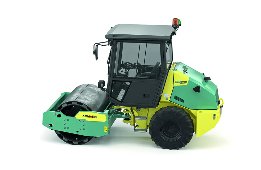
    Major manufacturers are introducing sophisticated new single drum rollers for the soil compaction sector
  • Leica offers technology warranty
    November 27, 2012
    Leica Geosystems, the leading Swiss manufacturer of surveying instruments and measurement tools, has launched a new warranty and service package for its range of construction-related products. Protect by Leica Geosystems offers a lifetime manufacturer’s warranty, no cost for product repairs and maintenance associated with normal conditions of use, and certified quality. Makers of products to tackle onsite positioning, measuring, levelling, aligning and plumbing tasks, Leica Geosystems’ Protect package is sa
  • Accurate scanning
    February 6, 2012
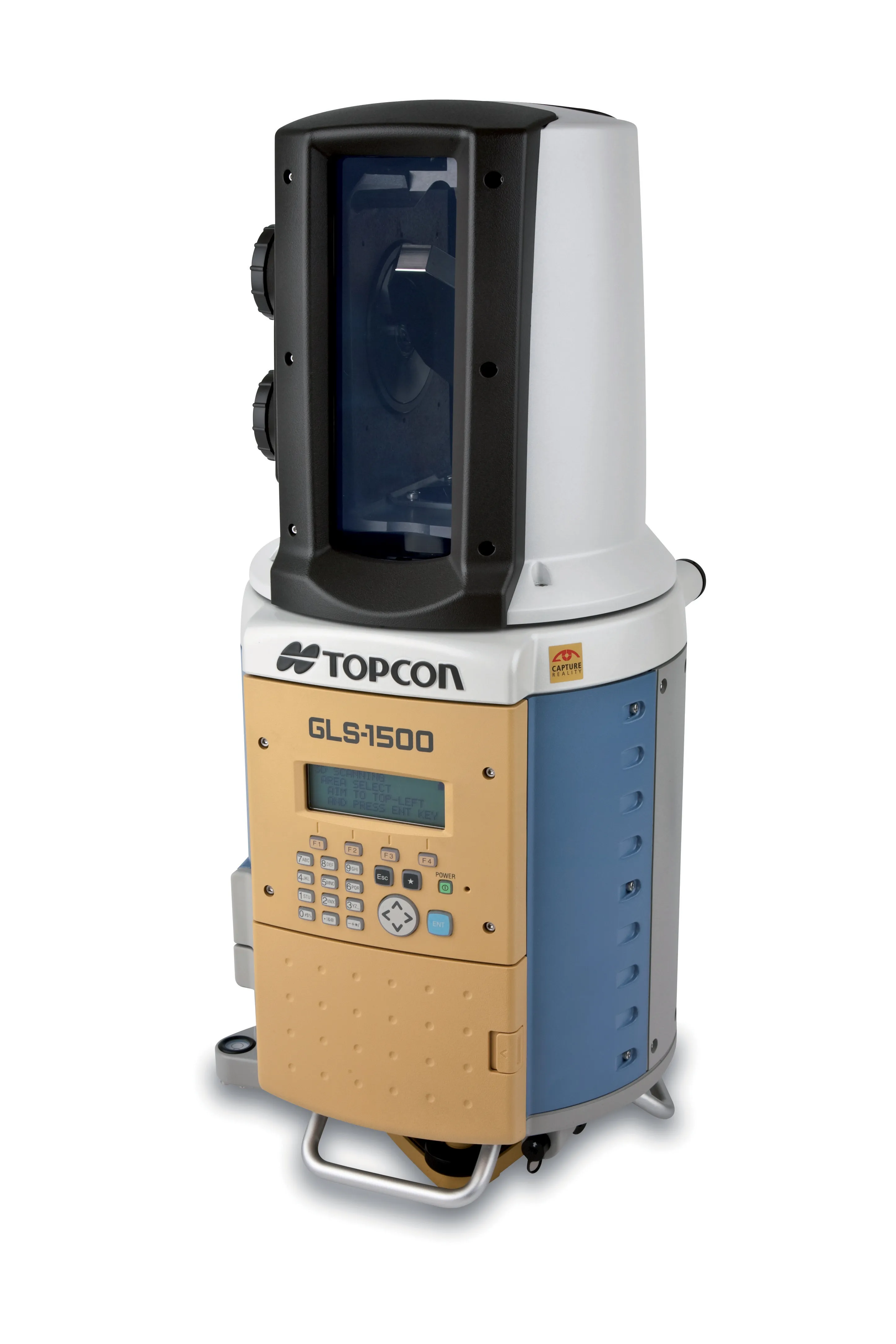
    TOPCON CLAIMS that its GLS- 1500 laser scanner speeds point cloud collection. This unit is 10 times faster than previous units and collects up to 30,000 points/second, reducing the amount of equipment needed in the field. The GLS-1500 offers a range of up to 330m and is designed for quick setup to save time and improve productivity.