GSSI offers bridge monitoring tool

GSSI is introducing the sophistictaed BridgeScan condition assessment system. This package is used for concrete inspection and utility mapping of bridges. Said to be both affordable and versatile, this ground penetrating radar (GPR) equipment can be used to assess concrete condition on bridge decks, as well as parking structures. Using this unit offers accurate assessments of concrete condition, which improves repair cost estimation and saves time and money. With BridgeScan, identification of rebar
May 19, 2015 Read time: 2 mins
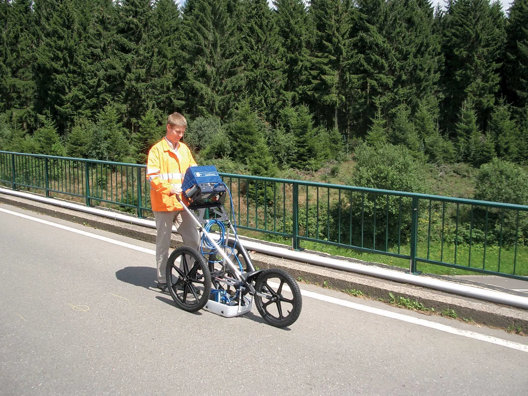
The BridgeScan monitoring system from GSSI comes with its own cart for versatility of use
8095 GSSI is introducing the sophistictaed BridgeScan condition assessment system. This package is used for concrete inspection and utility mapping of bridges.

Said to be both affordable and versatile, this ground penetrating radar (GPR) equipment can be used to assess concrete condition on bridge decks, as well as parking structures. Using this unit offers accurate assessments of concrete condition, which improves repair cost estimation and saves time and money.

With BridgeScan, identification of rebar location and depth is said to be easy and quick. It can handle bridge deck condition assessments, determining concrete cover depth on new structures, and concrete inspection, as well as measuring slab thickness, and void detection and location. Construction professionals, utility locators, and engineers can also use the unit as a basis for a utility locating GPR system to map and locate underground infrastructure – pinpointing the depth and position of metallic and non-metallic pipes in real time.

Unlike other units, the firm says that the BridgeScan system is aimed at bridge condition assessment. It can accurately represent bridge data by automatically accommodating for bridge skew angle. Using a non-destructive method of evaluating bridge deck thickness, the BridgeScan system is said to obtain reliable thickness measurements in minutes, eliminating the need to core.

The BridgeScan system includes the SIR 3000 control unit, a small, lightweight GPR system designed for single-user operation, which incorporates advanced signal processing and display capability for in-the-field 3D imaging. The same control unit can be used for multiple applications. Other BridgeScan components include a 1600MHz antenna, a three-wheeled survey cart with encoder wheel, and a 2m control cable. Also included is a transit case for the control unit, batteries and charger, as well as RADAN software and application-specific software for bridge deck condition assessments.

For more information on companies in this article

Related Content

  • IRF traffic management training on investing smartly, deploying effectively
    December 19, 2014
    IRF delivers advanced traffic management training in Riyadh For the second in a series of ITS courses specially tailored for the needs of fast-transitioning economies, the IRF assembled a multi-national cast of renowned instructors who delivered five modules focusing on major mobility applications. Held from October 19th–22nd, 2014, the course was attended by over 170 transportation and engineering professionals from a wide array of public agencies, including the municipalities of Riyadh, Jeddah, Dammam, t
  • Trimble DPS900 Drilling and Piling System
    August 27, 2013
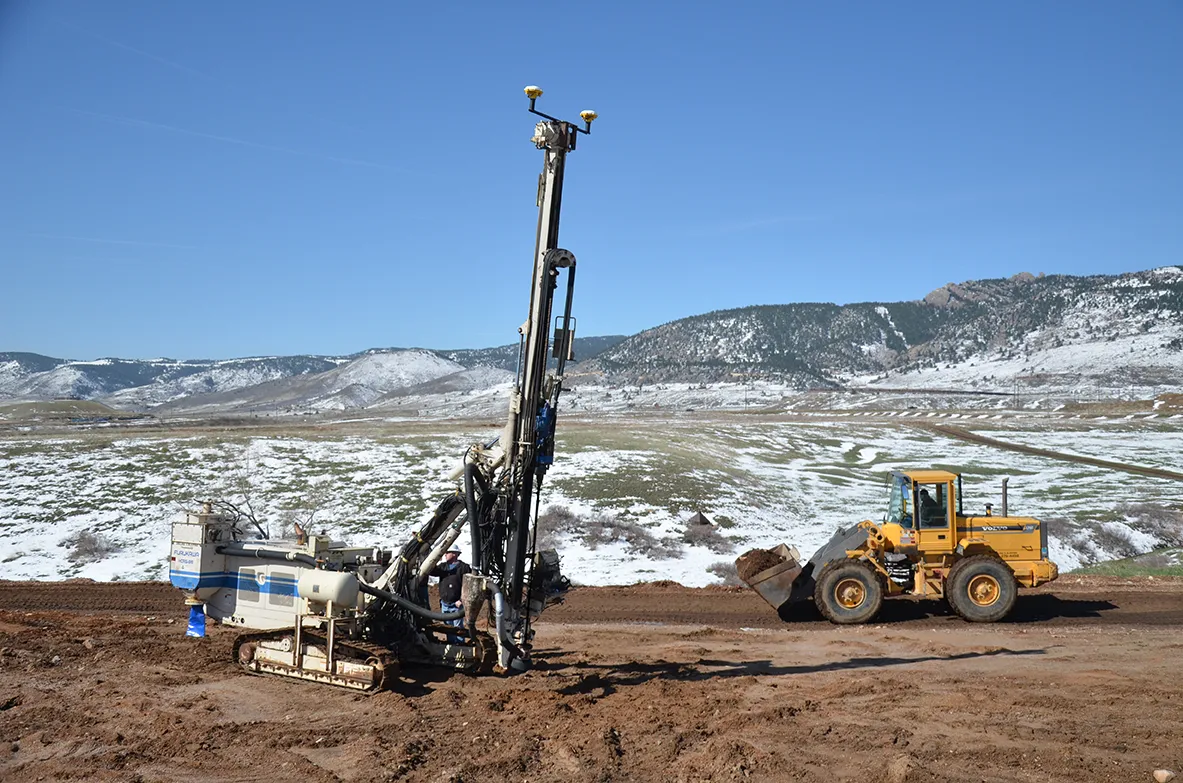
    Trimble has introduced the Trimble DPS900 Drilling and Piling System, a new machine control solution for drilling and piling contractors. Part of the Trimble Connected Site portfolio, the new DPS900 system enables contractors to perform drilling and piling operations quickly, safely and accurately. The new system can also help promote jobsite safety by minimising the need for stakes, construction surveying and personnel near the machine during drilling operations. The DPS900 system gives contractors
  • Transtec launches Command Center 2.0 for concrete monitoring
    February 27, 2017
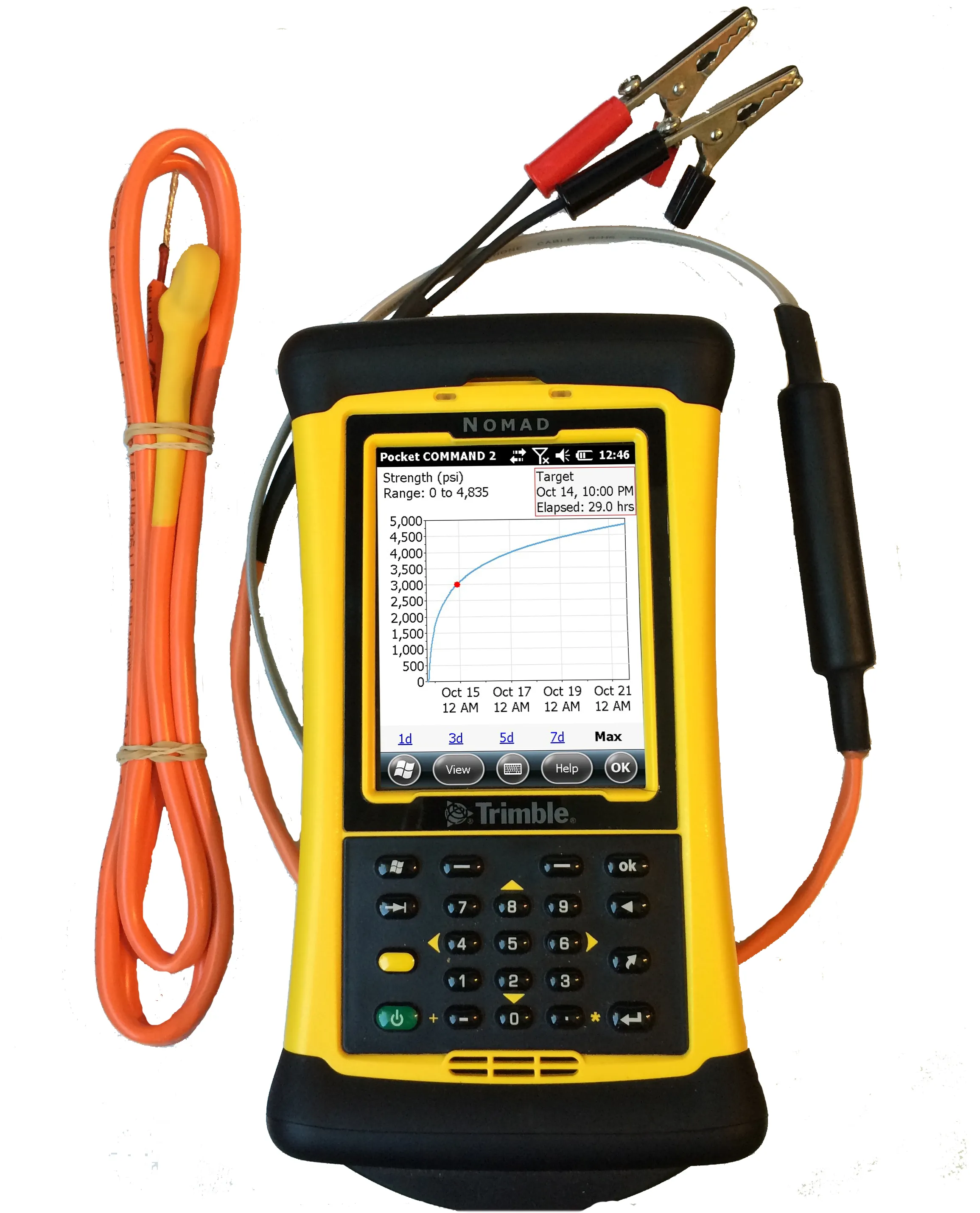
    Transtec Group has launched what it says is a powerful upgrade for concrete maturity and temperature monitoring. Command Center 2.0 (CC 2.0) includes updated desktop and mobile software, improved readers for data collection and a more durable, highly visible sensor cable.
  • Zhejiang Jiashao Bridge Investment & Development Co
    April 6, 2017
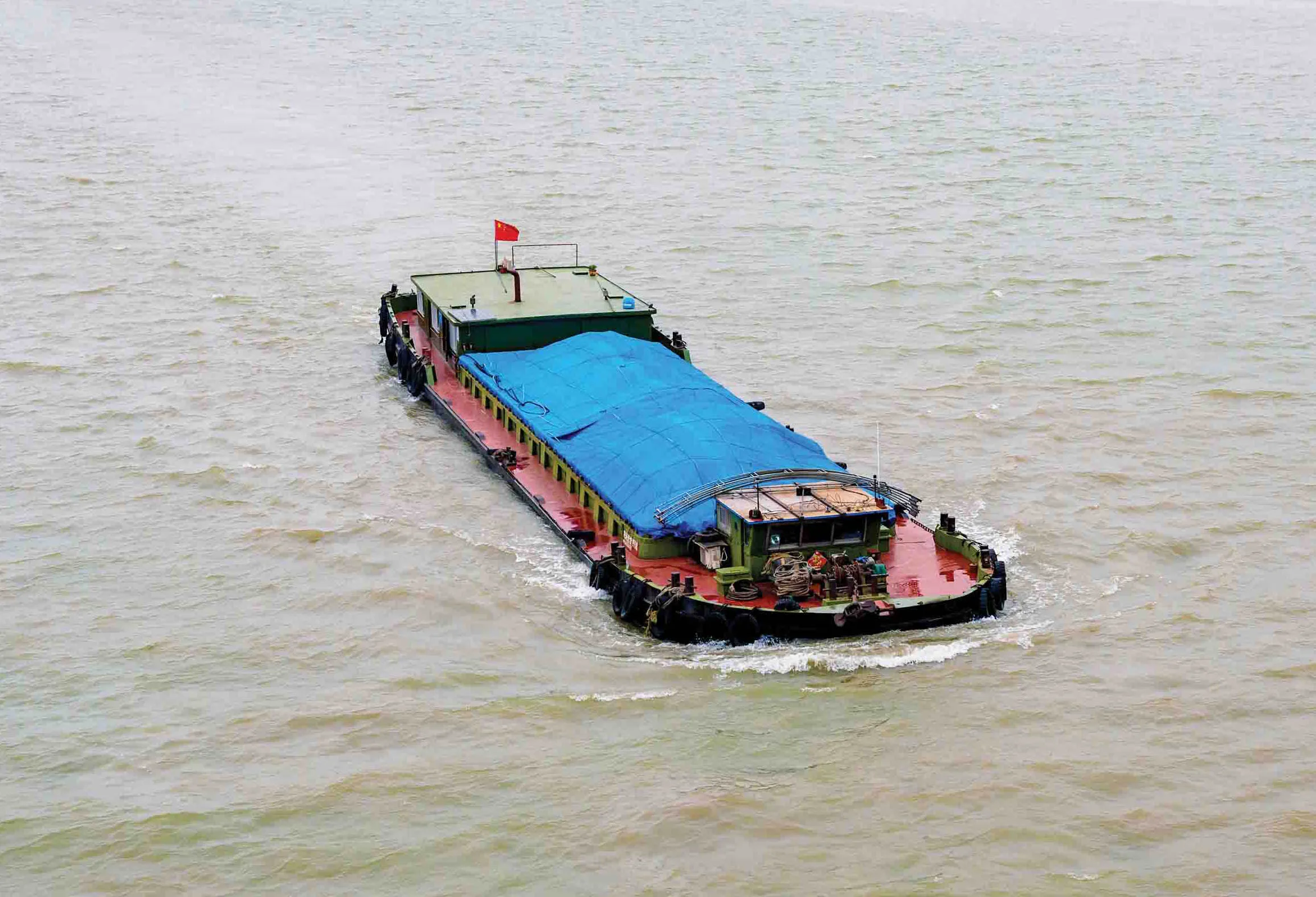
    Located in Zhejiang Province of China, Jiashao Bridge spans the Qiantang River and connects the cities of Jiaxing and Shaoxing. The total length of the bridge project is 10.14km and carries an eight-lane expressway The Qiantang River suffers from a high flow rate of up to 7.5m/s. As the tidal range is around 7-9m, the water depth is less than 2m in time of low level tide, so ships can only move at high tide and large scale ship-lifting equipment cannot be used downstream of Jiashao Bridge. However, to