Drone system from HCSS

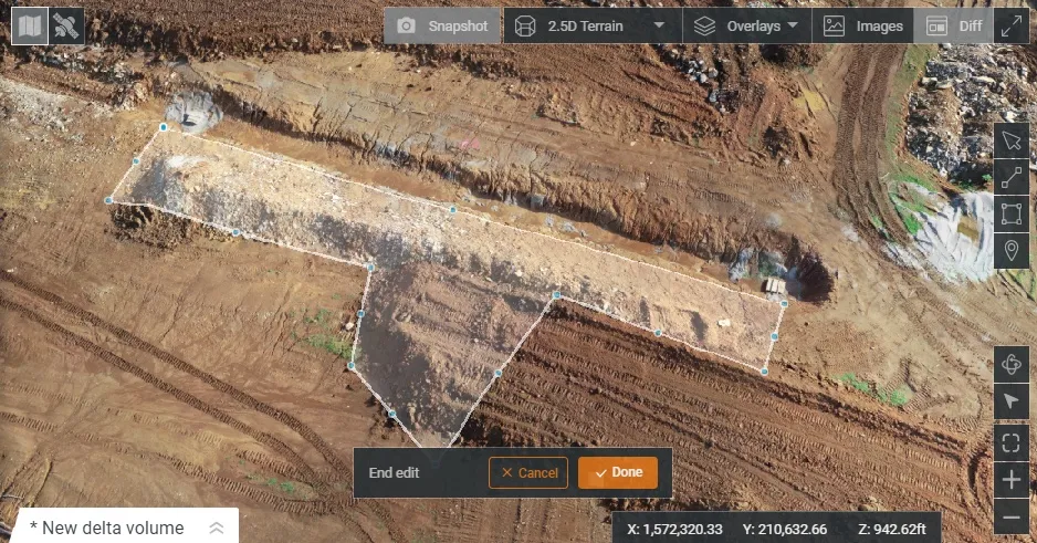
HCSS says it is offering powerful new features for its HCSS Aerial package, a drone-based data analytics platform. This includes improvements with calculations and measurements, annotation and designs, and navigation. New features are said to optimise tablet performance and improve user experience with the mobile device.
October 22, 2021 Read time: 2 mins
HCSS is now offering improved functionality for its drone package

“Customers have asked us to allow HCSS Aerial measurements and quantities data to be integrated with HCSS HeavyJob Project Management and Job Cost solution,” said JP Giometti, vice president, Global Strategy and Corporate Development, HCSS. “We are Beta testing this integration and gathering feedback from clients before introduction. By integrating with HeavyJob, clients will be able to keep their jobs and budget on track with less expensive yet more accurate drone mapping.”

Features in the new update include the ability to provide measurements and analytics from design items, saving time, whether users are running calculations to compare design to the as-built for quality assurance or checking bills from subcontractors. The package can also eliminate any errors that might occur from manual drawing areas or lines. It can import images into HCSS Aerial to create a new annotation. The platform pins the annotation automatically, depending on the GPS position. Users inspecting a site on a tablet can import the photographs on the go. It offers easier drawing of lines and polygons for measurements and analytics.

Users can now make edits and adjust points in lines and polygons without starting calculations. The package can upload design files and notes before the first flight or while the flight is still being processed. A “Go to Coordinates” navigation tool can change a map display to a specific point by entering coordinates.

Measurement details for tablets optimises the small screen and allows users to choose between side navigation and a top-mounted calculation detail box.

For more information on companies in this article

Related Content

  • Leica Cyclone teams up with NCTech’s iSTAR camera database
    January 19, 2016
    Users of Leica Cyclone, a 3D point cloud processing software, can now automatically import and align high-dynamic range (HDR) data from NCTech’s iSTAR camera database. The result is enhanced images delivered faster and easier, according to both companies. “It is also the accuracy to which these images fit the 3D point cloud data that is paramount. NCTech’s iSTAR camera produces high-quality HDR imaging at the accuracy everyone expects,” said Faheem Khan, vice president, business development for Leica Geosys
  • Complete control of machines using technology
    December 12, 2019
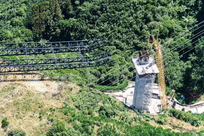
    Sophisticated machine control technology has been utilised on heavy equipment to help deliver a challenging project in New Zealand
  • Stepless spraying up to 7m with Dynapacs SD2500CS PROTAC Spray Paver
    April 11, 2024
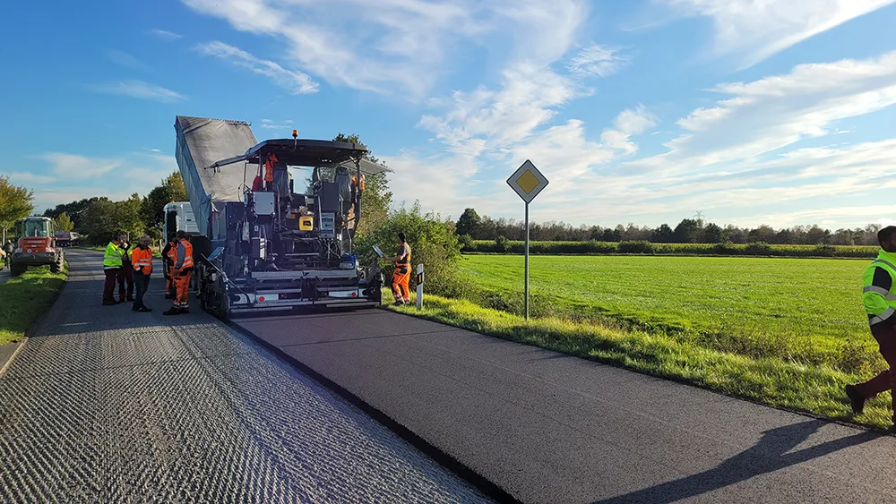
    Efficiency goes hand in hand with intelligence in the Dynapac SD2500CS PROTAC Spray Paver. The PROTAC brings two processes together in one machine and in a single operation: paving and spraying. It applies simultaneously a layer of tack coat emulsion and a layer of asphalt. This not only saves time and therefore costs, but also increases the pavement quality.
  • Patrik Ketti on the road again with Hyundai
    February 25, 2022
    After a life-changing accident, Swedish excavator operator Patrik Ketti worked with local Hyundai* dealer Orsa Maskin to find a solution for getting back into his cab.