Balfour’s float drone

West Sussex County Council in the UK, in partnership with Balfour Beatty Living Places, is trialling a drone with a slight difference for bridge inspections – it floats. The floatable drone is at work on two bridges - Swan Bridge in Pulborough and Adur Ferry Bridge in Shoreham-By-Sea - saving around €9,230 over the cost of traditional inspections, according to the council and Balfour Beatty.Routine inspections are carried out on all bridges every two years.
September 1, 2017 Read time: 2 mins

West Sussex County Council in the UK, in partnership with 1146 Balfour Beatty Living Places, is trialling a drone with a slight difference for bridge inspections – it floats.

The floatable drone is at work on two bridges - Swan Bridge in Pulborough and Adur Ferry Bridge in Shoreham-By-Sea - saving around €9,230 over the cost of traditional inspections, according to the council and Balfour Beatty.

Routine inspections are carried out on all bridges every two years. Traditionally, inspection work requires traffic management to allow inspectors to safely carry out works at height and over water, causing disruption to the public and road users. The use of drones to review the condition of a bridge reduces potential health and safety risks, as well as dramatically reducing costs, disruption and inconvenience to members of the public by removing the need for traffic management.

Operated by one of Balfour Beatty’s six Civil Aviation Authority licensed drone pilots, each drone is fitted with recording equipment to allow the workforce on the ground to review the condition of the bridge once filming is completed. To make sure the drone is operated safely, a second camera is used to film the drone in action, with an assistant reviewing the safety parameters around the drone in real time.

The drones are also fitted with protective floats to enable them to safely land on water if required, as well as a GPS system to prevent them illegally flying into ‘no fly zones’, such as airport space.

For more information on companies in this article

Related Content

  • Better maintenance is on the Horizon for UK’s Warrington Council
    May 15, 2018
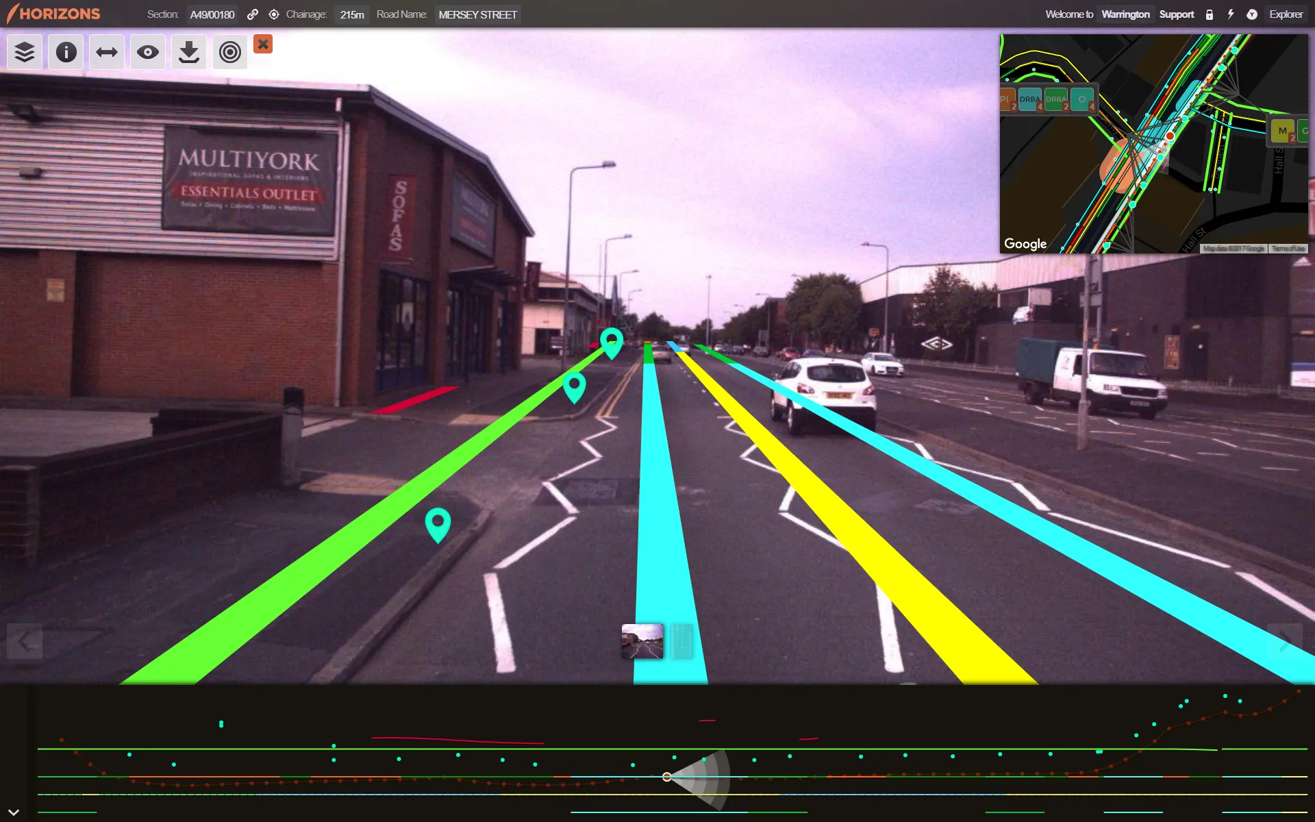
    Good, readable analysis of road surfaces to ensure sufficient maintenance funding is an essential part of asset management. The technical side of ensuring a good road surface is integral to maintaining safe, superior highway infrastructure. But securing sufficient government funding for such work – repairs and new-build – based on the current road surface is also essential. To evaluate road conditions and structure for such a business case, one UK local council turned to software provider Yotta.
  • VIDEO: Telstra drone LIDAR maps Melbourne’s EastLink Mullum Tunnel
    April 13, 2018
    One of the applications for LIDAR is to make high resolution 3-D maps. Self-driving cars are pre-loaded with a LIDAR map of the trials area in which they are permitted to fully self-drive themselves. The cars also have their own LIDAR scanner which captures a real-time LIDAR view of the vehicle’s surroundings. The fully autonomous driving system within these prototype cars compares the real-time LIDAR view against the pre-loaded LIDAR map to significantly increase the accuracy of their self-positioning
  • Workszone design and planning software
    March 6, 2012
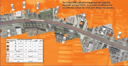
    Managing utility works effectively is important, given that digging up roads and then patching them can dramatically cut the life of a road surface. New software tools make this process easier to manage effectively and Bentley Systems is extending its Expert Designer V8i package to include water, gas, and communications infrastructure, in addition to electric utilities. This allows utility firms and engineering contractors using Expert Designer V8i to boost the efficiency of utility network design projects.
  • Safe construction amidst challenging times
    August 24, 2020
    Taking a steer on health and safety is crucial in these challenging times