Nuclear technology can provide structural assessments

Technology developed for the nuclear industry can provide structural assessments.
By MJ Woof March 7, 2024 Read time: 2 mins
An innovative technology from Estonian firm GScan can be used to assess the integrity of structures such as London’s troubled Hammersmith Bridge for example – image courtesy of © William Barton|Dreamstime.com


An innovative technology developed for the nuclear industry can be used to assess the structural conditions of tunnels and bridges. Deep-tech company GScan uses cosmic rays combined with AI/ML to provide precise assessments of the structural integrity and chemical composition of infrastructure, ensuring ongoing safety and longevity.  

Decay, cracks and corrosion can compromise the structural integrity of transport systems, risking public safety. A pilot project on a nuclear reactor scanning proved this innovative technology for use on a broad range of engineering applications.

The firm can deliver infrastructure assessments for assets like bridges and tunnels. The company will conclude a project with National Highways, scanning for steel components in a post-tensioned concrete bridge next month. 
The Estonian deep tech GScan uses  muon flux scanning and this technology has the capability to penetrate over 1m of concrete and imaging steel, allowing non-invasive assessments across various industries.

GScan uses naturally occurring cosmic rays known as muons to ‘reveal’ items that may be hidden within tens of metres of a structure. Around 10,000 muons/m2 pass harmlessly through individuals, buildings and structures every minute, changing direction and speed based on the chemical composition of the objects they encounter. GScan’s scanners detect changes to the flow of muons (muon flux); it then uses artificial intelligence (AI) to analyse this information, creating 3D models of the structure accurate to 1cm.

Muon flux scanning shows significant promise in industries where traditional assessment methods fall short due to extreme conditions or access limitations. “GScan’s technology isn’t just a tool for decommissioning plants; it can be used to optimise the ongoing maintenance of facilities in challenging or difficult-to-access environments. Our method allows for a detailed and non-invasive analysis of almost any structure, helping to identify degradation and structural weaknesses before they become critical,” added Andi Hektor.
 

Related Content

  • Fugro organising road maintenance event in UK
    May 16, 2013
    Survey specialist, Fugro Aperio is organising the one day Developments in Highways Assessment (DIHA 2013) conference. This event takes place on July 16th, 2013, at the Midlands Engineering Centre in the UK city of Birmingham. The use of survey data in predictive modelling for improved highways asset management will be a particular focus at the DIHA 2013 conference in July. Richard Barnes will highlight Stockport Council’s work to develop a model for strategic road maintenance investment integrating local co
  • Cultivate better on-site safety awareness by leveraging technology with Leica Geosystems
    August 10, 2023
    When a vital fiber-optic cable was cut during construction work in Germany, the impact was huge. There were telecom disruptions affecting the greater Frankfurt area, all departures and landings at Frankfurt Airport were suspended, and Lufthansa’s global IT system crashed. Leica Geosystems says it is vital to put in place “strategies to protect people, equipment, and assets… and to emphasise the crucial role digital solutions play in ensuring safety.”
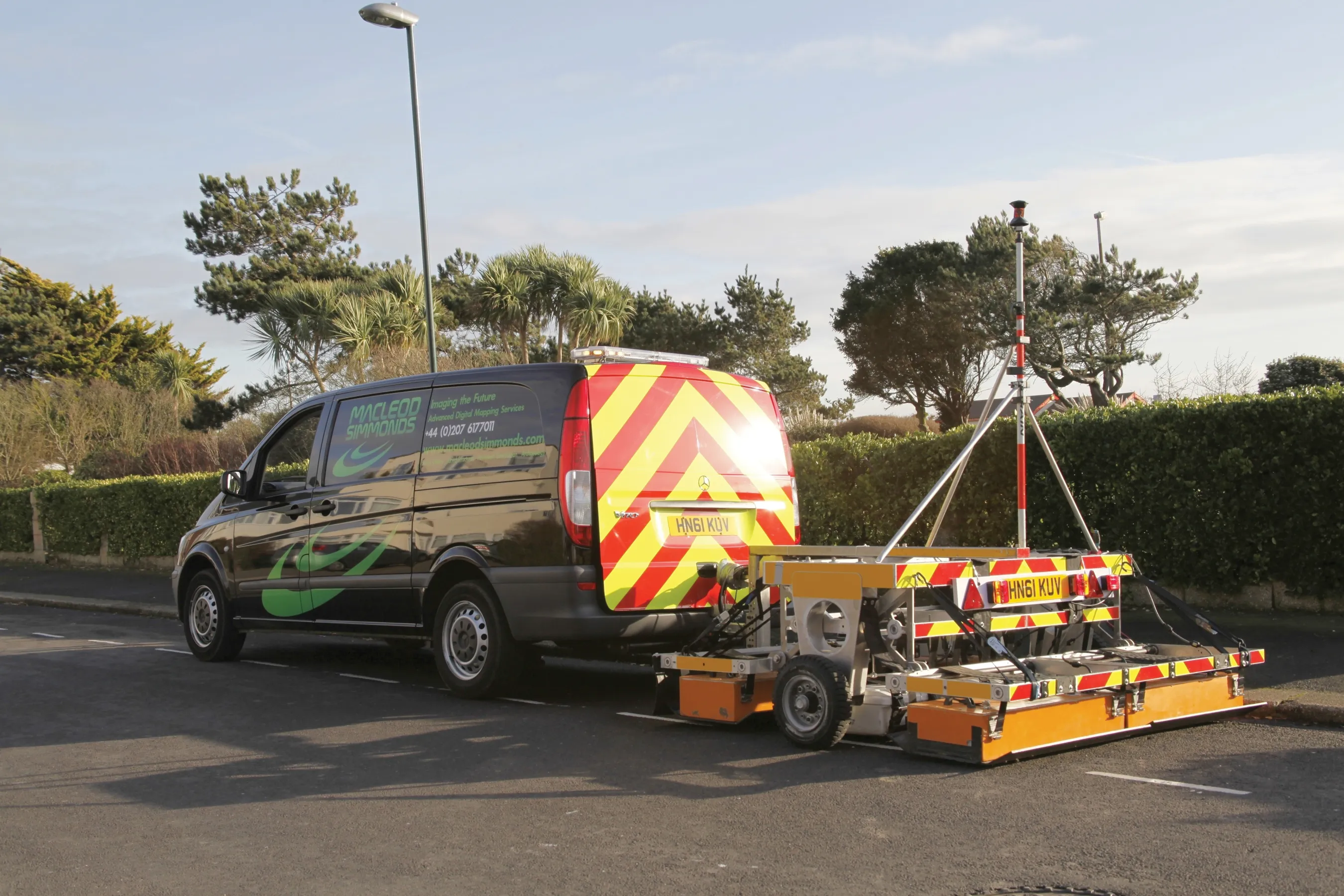
  • Macleod Simmonds introduces GPR offering
    October 17, 2012
    UK-based Macleod Simmonds Ltd (MSL) has launched a GPR (Ground Probing Radar) consultancy providing both a survey service and software package which, the firm says, takes the output from multi-antenna surveys to a “whole new dimension”. The firm says it can now provide survey capability for almost any type of terrain, application or location that end users might require. For the existing roadway or smooth surface terrain survey location, MSL has a Carriageway System based on a multi-antenna set up from Ital