UK-based Macleod Simmonds Ltd (MSL) has launched a GPR (Ground Probing Radar) consultancy providing both a survey service and software package which, the firm says, takes the output from multi-antenna surveys to a “whole new dimension”. The firm says it can now provide survey capability for almost any type of terrain, application or location that end users might require. For the existing roadway or smooth surface terrain survey location, MSL has a Carriageway System based on a multi-antenna set up from Ital
UK-based
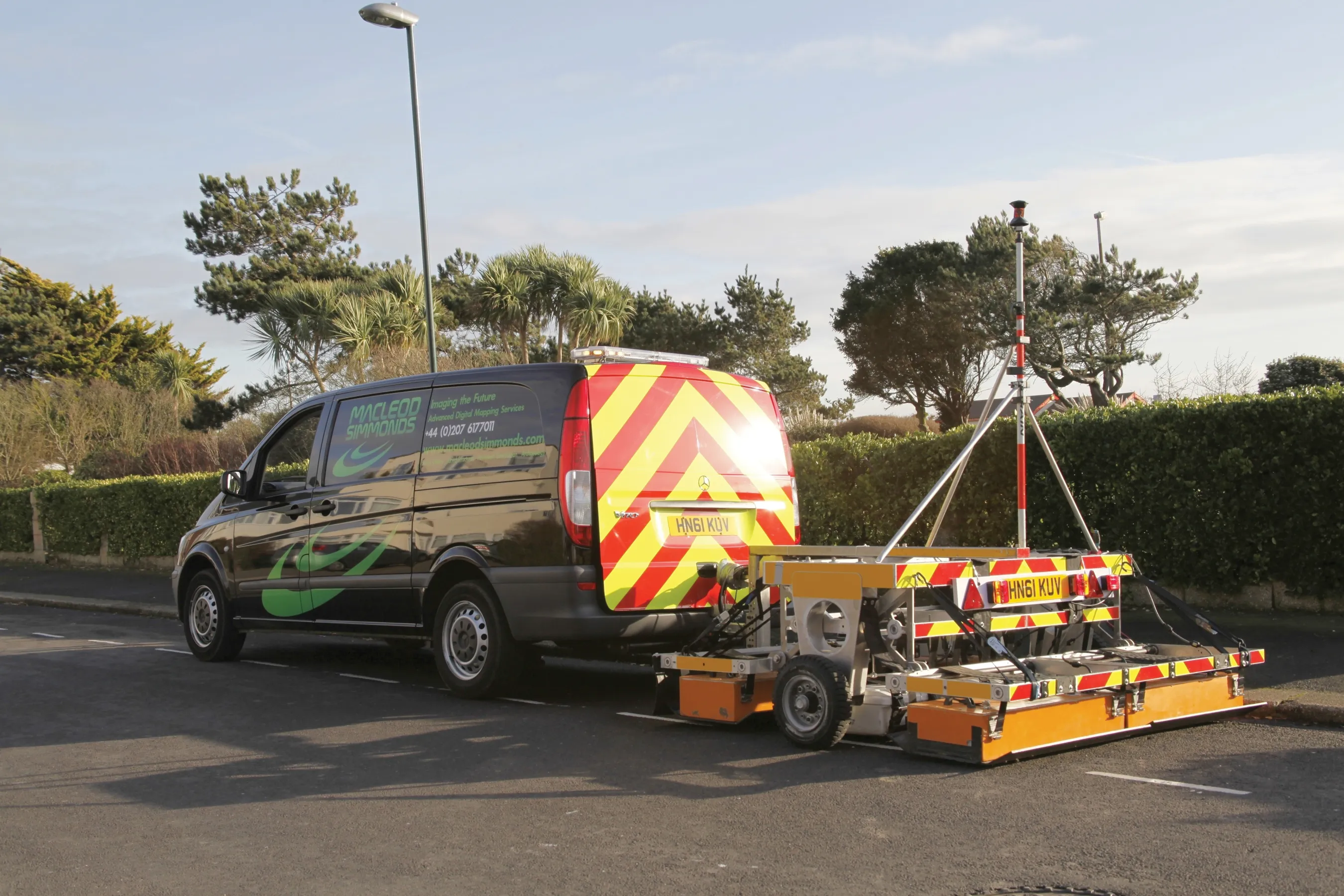
For the existing roadway or smooth surface terrain survey location, MSL has a Carriageway System based on a multi-antenna set up from Italian GPR manufacturer IDS. The unit has 40 individual GPR channels operating at 200Mhz and 600Mhz, which MSL says supplies a grid resolution down to 6cm x 6cm. The data is collected by traversing the array across the survey site at around 5mph with the GPR system towed by a suitable vehicle. MSL claims that up to 10,000m2 of coverage per site shift can be achieved using this system.
For more difficult terrain, MSL has its Rough Ground System. This unit can be pulled across the survey site using either a quad bike or a 4x4 vehicle. Working at 200Mhz the system is said to offer resolution to 12cm x 12cm at a vehicle ‘acquisition’ speed of 10mph. MSL says that up to 20,000m2 can be surveyed in one site shift.
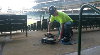
For narrower locations or where vehicle access is impossible, MSL also has its Footpath and “Fill in” System. The unit has two operating modes: the 200Mhz system has 8 channels and provides a 12cm GPR grid resolution; and the 600Mhz system has 24 channels and a 4cm GPR grid resolution.
MSL says that the system requires no grids to be marked on the ground and up to 2.5km x 3m coverage is possible per site shift. The Footpath and ‘Fill in’ System can be operated either manually using a push frame or for faster surveys by attaching it to a small vehicle or lifting unit that is small enough to manoeuvre along the footpath or narrow section being surveyed.
According to MSL, its new survey system has many advantages such as no need for traffic management during highway works; improved safety through the non-requirement of personnel to work on the highway; large areas surveyed in shorter time; and the compiling of orthogonal grid equivalent GPR measurements to high quality resolution while travelling in one direction.
The GPR systems not only detect buried services, but also have the capacity to detect voids, anomalies, structures and construction features. MSL says they can also be utilised for archaeological as well as construction surveys.
Once data has been collected by the survey equipment, it is transferred into a software system. The software generates a plan image of the survey site. This plan is said by MSL to be multi-layered, as plans of the site at different depths can be seen from the surface to the maximum depth of penetration. Panning through the layers on screen not only pinpoints where utilities structures or other buried items lay within the substructure of the ground and along what route they run, but also what depth range they cover.
At any point on the plan, a single section line or multiple section lines can be requested by the analyst, as can a series of section lines that run across the whole or part of the survey site at a preset interval. The software then automatically generates the depth cross section at these requested locations for display.