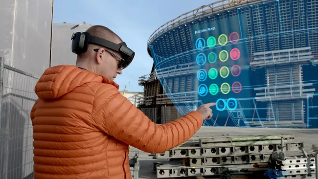
The SYNCHRO XR for HoloLens 2 system allows users to interact collaboratively with digital construction models using intuitive gestures to plan, visualise, and experience construction sequencing.
Project digital twin data is visualised with the HoloLens 2 through Bentley’s connected data environment, powered by Microsoft Azure. With the mixed reality solution, construction managers, project schedulers, owner operators, and other project stakeholders can gain insights through immersive visualisation into planned work, construction progress, potential site risks, and safety requirements.
Additionally, users can interact with the model together and collaboratively experience 4D objects in space and time, as opposed to traditional interaction with a 2D screen depicting 3D objects.
Noah Eckhouse, senior vice president, project delivery for