Visualisation technology from Bentley Systems

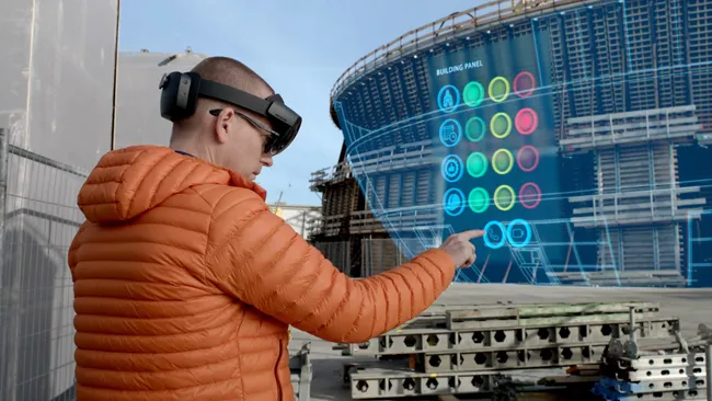
Bentley Systems has introduced its SYNCHRO XR, its app for immersively visualising 4D construction digital twins with the new Microsoft HoloLens 2. The SYNCHRO XR for HoloLens 2 system allows users to interact collaboratively with digital construction models using intuitive gestures to plan, visualise, and experience construction sequencing. Project digital twin data is visualised with the HoloLens 2 through Bentley’s connected data environment, powered by Microsoft Azure. With the mixed reality solutio
May 15, 2019 Read time: 2 mins
The new visualisation tool from Bentley Systems can boost understanding of a project using virtual reality
Bentley Systems has introduced its SYNCHRO XR, its app for immersively visualising 4D construction digital twins with the new Microsoft HoloLens 2.


The SYNCHRO XR for HoloLens 2 system allows users to interact collaboratively with digital construction models using intuitive gestures to plan, visualise, and experience construction sequencing.

Project digital twin data is visualised with the HoloLens 2 through Bentley’s connected data environment, powered by Microsoft Azure. With the mixed reality solution, construction managers, project schedulers, owner operators, and other project stakeholders can gain insights through immersive visualisation into planned work, construction progress, potential site risks, and safety requirements.

Additionally, users can interact with the model together and collaboratively experience 4D objects in space and time, as opposed to traditional interaction with a 2D screen depicting 3D objects.

Noah Eckhouse, senior vice president, project delivery for 4019 Bentley Systems, said, “Our SYNCHRO XR app for HoloLens 2 provides a new way to interact with digital twins for infrastructure projects. Users benefit from a new perspective on the design and a deeper, more immediate understanding of the work and project schedule. Instead of using a 2D screen with a mouse and keyboard, the user can now walk around the model with their body and reach out and grab digital objects that appear to co-occupy physical reality.”

Related Content

  • Safer construction sites with technology
    April 7, 2022
    Leica Geosystems, part of Hexagon, is now offering upgrades to its modular safety awareness solutions. The Leica iCON PA10 and PA80 are suited for use on construction sites and were designed initially to concentrate on identifying pedestrians.
  • Trimble is developing smart construction site solutions
    March 7, 2016
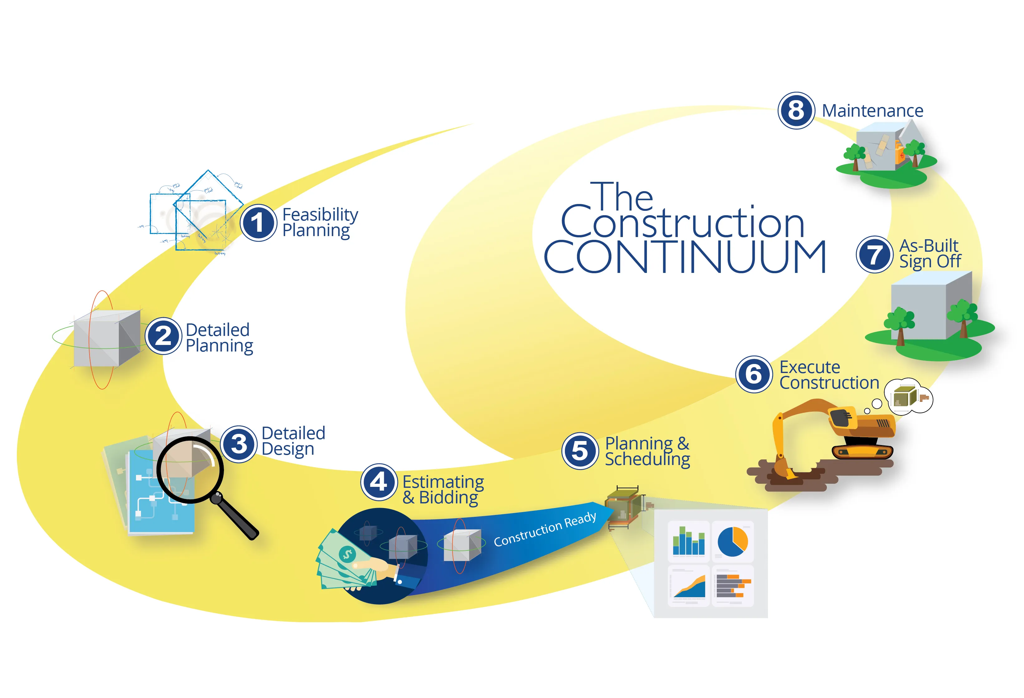
    Trimble is taking the concept of the building information model (BIM) one stage further with its development of its construction continuum concept. This is intended to show the process and benefits to building a construction-ready model embedded with intelligent data. Such a model can serve as the basis for how contractors plan and execute construction projects. With intelligent modeling, users can add and remove information in real time while simultaneously looking at multiple ways to perform construction
  • Trimble is developing smart construction site solutions
    January 6, 2017
    Trimble is taking the concept of the building information model (BIM) one stage further with its development of its construction continuum concept. This is intended to show the process and benefits to building a construction-ready model embedded with intelligent data. Such a model can serve as the basis for how contractors plan and execute construction projects. With intelligent modeling, users can add and remove information in real time while simultaneously looking at multiple ways to perform construction
  • SICK launches 3D TIC502 LiDAR sensor system for traffic management
    May 18, 2018
    Sick says that its latest TIC502 twin LiDAR sensor system has high all-weather capability between -40OC and +60OC. The TIC502 incorporates vehicle speed detection with 3D profiling and counting of fast-lane, free flowing and static traffic to facilitate toll charge assessment. It can also be integrated with additional 2D LiDAR sensors to count axles for complete traffic profiling and assessment in a single system, according to the company that was set up in 1946 by optical engineer Erwin Sick in Waldkir