Trimble has launched what it claims is an affordable and easy-to-use site positioning System for superintendents, foremen and field engineers on heavy civil construction sites.
Instead of using paper plans, the Trimble SitePulse System empowers field managers with the same 3D constructible model and digital information that is used by construction surveyors, grade checkers and machine operators.
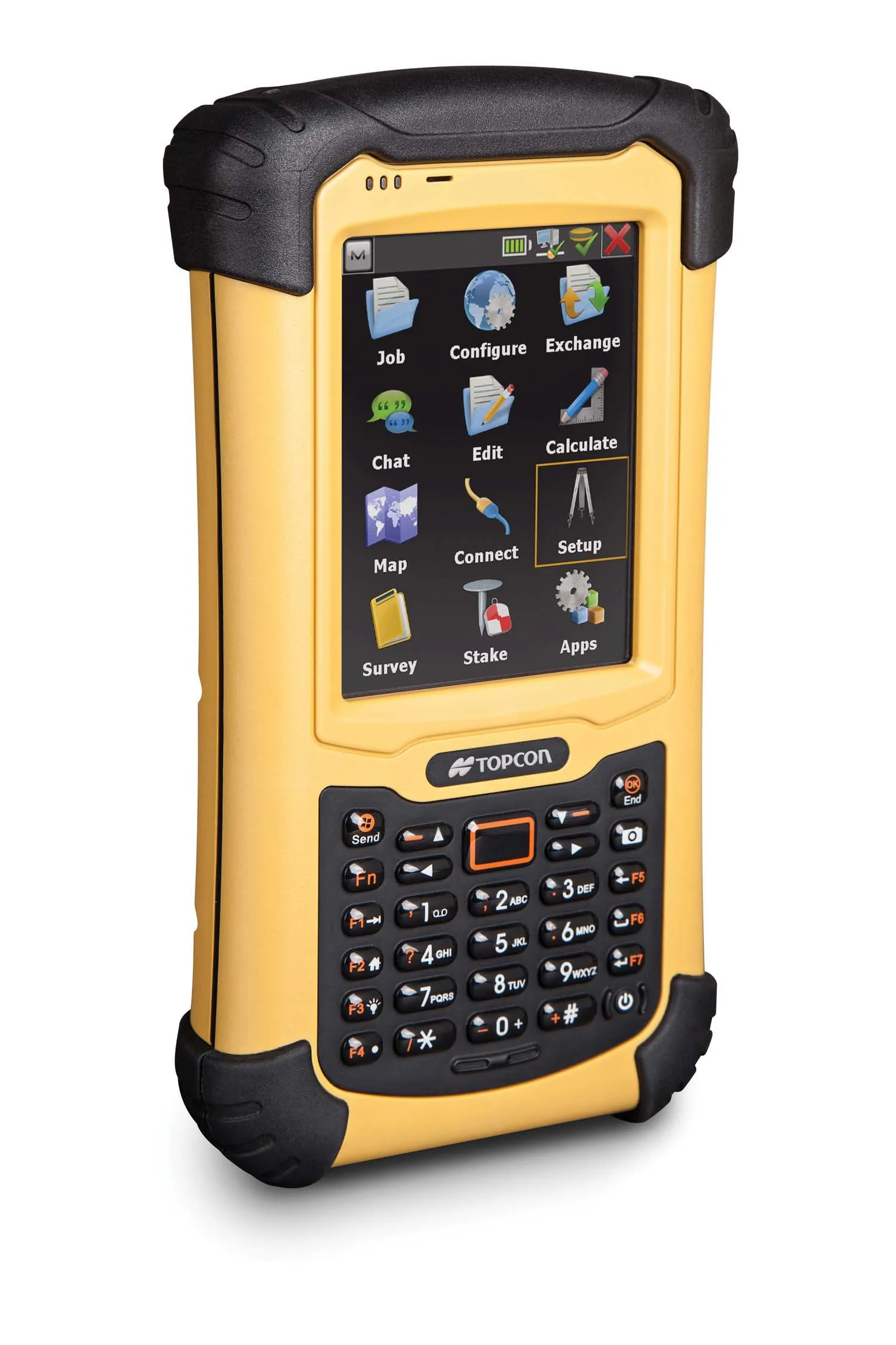
Trimble SitePulse field software is ideal for construction managers who do not have a surveying background. The

Instead of using paper plans, the Trimble SitePulse System empowers field managers with the same 3D constructible model and digital information that is used by construction surveyors, grade checkers and machine operators.
Trimble SitePulse field software is ideal for construction managers who do not have a surveying background. The software runs on either the Trimble Site Tablet or any third-party Android tablet, giving contractors the flexibility to choose the hardware platform that best fits their needs and budget.
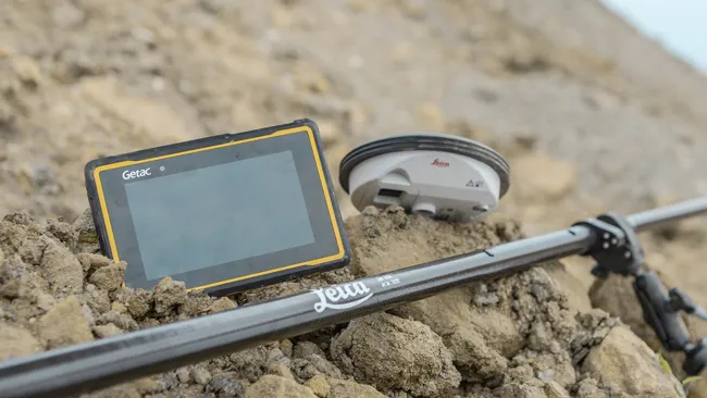
The new Trimble SPS585 GNSS Smart Antenna is a versatile receiver can be moved quickly from a truck to a range pole using a built-in magnetic mount. The SPS585 can access multi-constellation GNSS satellites and provides typical positioning accuracy of 10cm using Trimble RTX–based services, which stream GNSS corrections via satellite to the receiver without the need for a traditional base station.
The Trimble SitePulse System leverages Trimble Connected Site technology, including VRS networks, Internet Base Station Service (IBSS) and wireless data sync to provide efficient system configuration and streamlined workflows.