Topcon’s advanced software for construction

Topcon Positioning is introducing the latest version of its MAGNET 5 software. This new version includes upgrades to the MAGNET Field, Office and Enterprise applications designed for advanced performance, third-party integration, and construction planning and oversight capability. The package offers new flexible display options and additional customisable data labels. Additionally, operators can view GNSS status when the controller is connected to a total station in Hybrid mode, and show offsets as a visua
December 12, 2018 Read time: 2 mins
The new MAGNET package from Topcon Positioning offers additional capabilities for use with machine control technologies

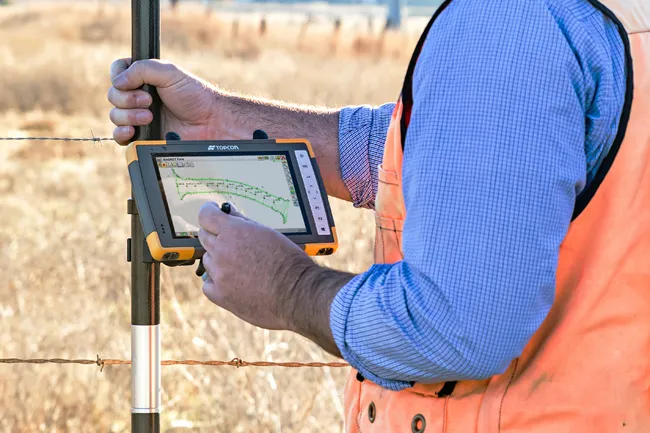
342 Topcon Positioning is introducing the latest version of its MAGNET 5 software. This new version includes upgrades to the MAGNET Field, Office and Enterprise applications designed for advanced performance, third-party integration, and construction planning and oversight capability.

The package offers new flexible display options and additional customisable data labels. Additionally, operators can view GNSS status when the controller is connected to a total station in Hybrid mode, and show offsets as a visual reference when staking roads and lines. Improvements to MAGNET Field also contain new vertical construction capabilities including reflectorless layout.

The MAGNET system also supports third-party construction and survey file types. It includes filtering and editing capabilities to bring Autodesk and Bentley design files to the office or directly to field software. MAGNET Enterprise updates feature new cloud connection to Autodesk BIM 360 and Bentley ProjectWise as well as unlimited project file storage.

Additions to MAGNET Office are designed to be centred on contractor needs and include new advanced corridor functionalities for machine control file preparation, Mass Haul application improvements, and an integration of BIM for infrastructure features directly into the suite. 

For more information on companies in this article

Related Content

  • Earthmoving developments for construction machines
    August 14, 2017
    Excavators, wheeled loaders and ADTs have all seen improvements for this year. New developments in earthmoving machines continue to help improve working efficiency for contractors. The excavator market is the largest single segment of the construction machine sector, with competition being tough between the major players, and a steady stream of new models coming to market. Doosan has launched the new Stage IV compliant DX225LC-5 crawler excavator, which is said to offer high performance, fuel efficiency, r
  • Yotta develops new tools for sophisticated GIS package
    April 25, 2013
    Highway technology and services company Yotta DCL has announced new features for Horizons. The web-based platform integrates GIS, pavement and asset management for highways authorities and agencies to use in a visualised asset management system. The new version 2.3 adds features and functionality across three modules: Explorer, Analysis and Management. Explorer allows users to view, load and visualise a range of datasets, including base network data, their condition in fine detail, plus relevant asset or co
  • Komatsu introducing intelligent excavator
    December 8, 2014
    Komatsu has continued its development of Intelligent Machine Control (IMC) systems, in cooperation with global partner Topcon, with the launch of the PC210LCi-10, the first fully integrated OEM machine control crawler excavator. Unlike its IMC-equipped D61PXi/EXi dozer that was introduced last year, the popular 21 tonne excavator has been unveiled first in Europe, rather than in Japan or the USA. The machine, which is built at Komatsu UK’s excavator plant in Birtley in the North East of England, offers sem
  • Surveying accurately
    July 18, 2012
    Spectra Precision says that its EPOCH 35 system benefits from the latest GPS and GLONASS technology to provide accurate cadastral, topographic, control and stakeout survey applications. Said to be reliable and cost-effective, the EPOCH 35 GNSS system includes a base, rover, field software, data collector, and radio. The rover features integrated Bluetooth capability, an internal radio modem and battery. For North America, the system operates with the proven TDS Survey Pro field software while for other mark