Topcon releases SurveyMaster Lite

Topcon Europe Positioning has released SurveyMaster Lite, a new CAD-based desktop application for surveying and job site information editing and plotting. Mark Contino, TPS (Topcon Positioning Systems, Livermore, USA) vice president of product marketing, said: "SurveyMaster Lite is a cost-efficient surveying office software package perfect for the cadastral surveying and construction stakeout professional."
February 13, 2012 Read time: 2 mins
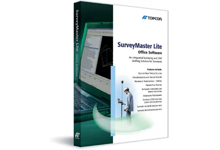
342 Topcon Europe Positioning has released SurveyMaster Lite, a new CAD-based desktop application for surveying and job site information editing and plotting.

Mark Contino, TPS (Topcon Positioning Systems, Livermore, USA) vice president of product marketing, said: "SurveyMaster Lite is a cost-efficient surveying office software package perfect for the cadastral surveying and construction stakeout professional." Modelled from Topcon's SurveyMaster software program, SurveyMaster Lite is loaded with survey specific functionality as well as surface modelling and contouring tools. It provides tools required to produce final plats and survey calculations for property surveys, topographic maps and ALTA surveys, and is designed so users can manage data from raw format all the way through to a finished plot. Survey calculations can be completed and uploaded to the field collector for stakeout and field verification.

Contino said: "SurveyMaster Lite is the perfect addition to complete any Topcon instrument system. It completes the cycle of a 'field-to-finish' solution. The program is on the USB drive so users can simply take the USB Drive with them and have the program on any PC.

"It was designed by surveyors that have the software experience needed to understand what is needed to manage site and surveying data efficiently."

For more information on companies in this article

Related Content

  • Updates to Topcon MAGNET product improve customer notification
    April 23, 2015
    Topcon Positioning Group has updated the MAGNET suite of software solutions to ensure customers have the most up-to-date information available. MAGNET v3.0 includes several new and enhanced features designed to increase interconnectivity and productivity. Among the improvements are user notifications that new data is available, said Ronald Verheijen, Topcon manager of product support.
  • Topcon and DAQRI co-developing new safety technology
    December 2, 2015
    Topcon Positioning is establishing a collaboration with DAQRI to develop wearable safety technology for use on construction sites. The two firms will work together to develop technology that will boost safety for site personnel through the use of augmented reality systems. DAQRI is a leader in enterprise augmented reality and developed the Smart Helmet, an industrial-grade unit that seamlessly connects personnel to work environments by providing information about the surroundings.
  • Topcon beefs up eXchange AutoCAD 3D civil engineering software
    March 10, 2015
    Topcon’s latest eXchange software add-on for AutoCAD Civil 3D civil engineering design software converts data into files compatible with Topcon 3D construction solutions as well as the MAGNET software system. The add-on even converts complex road designs with defined corridors into Topcon standard file formats, such as MJF (MAGNET Field job) for land surveying and construction layout, and TP3 (3D Topcon Project File) for machine control systems. After installation, users are offered the ability to log in to
  • An array of innovative software and GIS solutions will boost construction efficiency
    July 18, 2012
    New software and GIS innovations will help boost construction efficiency - Mike Woof reports Major software suppliers continue to develop their technology and offer new products to the market. Major developments from leading firms will help improve operations for contractors in many segments of the construction industry, from initial design and planning through to maintenance. Version 8 of the well-known ARCADY program for assessment of roundabout capacity is just released by UK transport research and soft